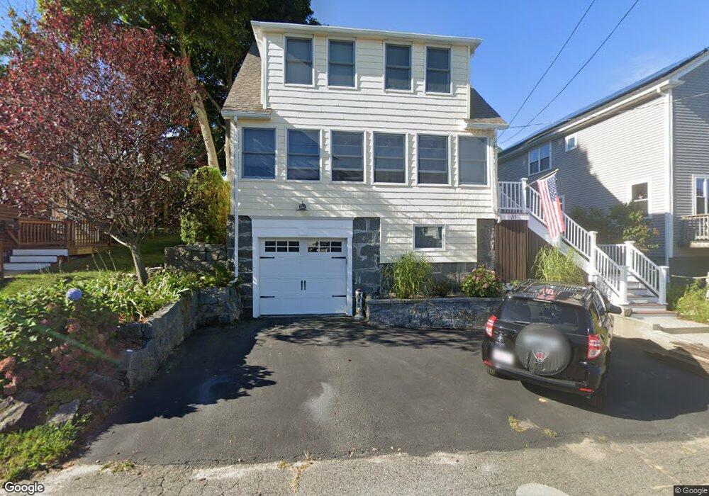
31 Massasoit Rd North Weymouth, MA 02191
North Weymouth NeighborhoodEstimated Value: $473,000 - $612,000
About This Home
This home is located at 31 Massasoit Rd, North Weymouth, MA 02191 and is currently estimated at $553,789, approximately $420 per square foot. 31 Massasoit Rd is a home located in Norfolk County with nearby schools including Wessagusset Elementary School, Abigail Adams Middle School, and Weymouth Middle School Chapman.
Ownership History
We collect this data history from publicly available records. To have your information removed, we recommend requesting removal directly through your county’s website.
Purchase Details
Home Financials for this Owner
Home Financials are based on the most recent Mortgage that was taken out on this home.Purchase Details
Home Financials for this Owner
Home Financials are based on the most recent Mortgage that was taken out on this home.Purchase Details
Home Values in the Area
Average Home Value in this Area
Purchase History
We collect this data history from publicly available records. To have your information removed, we recommend requesting removal directly through your county’s website.
| Date | Buyer | Sale Price | Title Company |
|---|---|---|---|
| -- | -- | ||
| $75,000 | -- | ||
| $73,500 | -- |
Mortgage History
We collect this data history from publicly available records. To have your information removed, we recommend requesting removal directly through your county’s website.
| Date | Status | Borrower | Loan Amount |
|---|---|---|---|
| Open | $262,500 | ||
| Previous Owner | $247,500 | ||
| Previous Owner | $10,000 | ||
| Previous Owner | $71,250 |
Tax History
We collect this data history from publicly available records. To have your information removed, we recommend requesting removal directly through your county’s website.
| Year | Tax Paid | Tax Assessment Tax Assessment Total Assessment is a certain percentage of the fair market value that is determined by local assessors to be the total taxable value of land and additions on the property. | Land | Improvement |
|---|---|---|---|---|
| 2025 | $4,759 | $471,200 | $205,000 | $266,200 |
| 2024 | $4,610 | $448,900 | $195,300 | $253,600 |
| 2023 | $4,441 | $425,000 | $180,800 | $244,200 |
| 2022 | $4,334 | $378,200 | $167,400 | $210,800 |
| 2021 | $3,967 | $337,900 | $167,400 | $170,500 |
| 2020 | $3,767 | $316,000 | $167,400 | $148,600 |
| 2019 | $3,676 | $303,300 | $161,000 | $142,300 |
| 2018 | $3,565 | $285,200 | $153,300 | $131,900 |
| 2017 | $3,333 | $260,200 | $139,400 | $120,800 |
| 2016 | $3,203 | $250,200 | $134,000 | $116,200 |
| 2015 | $3,012 | $233,500 | $127,700 | $105,800 |
| 2014 | $2,885 | $216,900 | $118,800 | $98,100 |
Map
- 16 Pequot Rd
- 146 Pilgrim Rd
- 67 Wituwamat Rd
- 151 Wessagussett Rd
- 29 Wituwamat Rd
- 81 Wessagussett Rd
- 22 Lindale Ave
- 29 Willow Ave
- 35 Manomet Rd
- 90 Sea St Unit 107
- 77 Weyham Rd
- 19 Princeton Ave
- 12 Wolcott St
- 16 Caldwell St
- 9 Mayflower Ave
- 88 Saning Rd
- 44 Kings Cove Way
- 73 Sunrise Dr
- 358 Rock Island Rd
- 153 Edgewater Dr
- 41 Massasoit Rd
- 43 Massasoit Rd
- 12 Pequot Rd
- 49 Massasoit Rd
- 39 Massasoit Rd
- 15 Pequot Rd
- 35 Massasoit Rd
- 47 Massasoit Rd
- 68 Pequot Rd
- 137 Pilgrim Rd
- 133 Pilgrim Rd
- 27 Massasoit Rd
- 32 Massasoit Rd
- 32 Massasoit Rd Unit 1
- 32 Massasoit Rd Unit 2
- 127 Pilgrim Rd
- 23 Massasoit Rd
- 5 Arthur St
- 140 Pilgrim Rd
- 157 Pilgrim Rd
Ask me questions while you tour the home.