31 Mayberry Circle #17 Reeds Spring, MO 65737
Branson West AreaEstimated Value: $379,000 - $588,000
About This Home
This home is located at 31 Mayberry Circle #17, Reeds Spring, MO 65737 and is currently estimated at $487,667, approximately $291 per square foot. 31 Mayberry Circle #17 is a home located in Stone County with nearby schools including Reeds Spring Primary School, Reeds Spring Elementary School, and Reeds Spring Middle School.
Ownership History
We collect this data history from publicly available records. To have your information removed, we recommend requesting removal directly through your county’s website.
Purchase Details
Home Financials for this Owner
Home Financials are based on the most recent Mortgage that was taken out on this home.Purchase Details
Home Financials for this Owner
Home Financials are based on the most recent Mortgage that was taken out on this home.Home Values in the Area
Average Home Value in this Area
Purchase History
We collect this data history from publicly available records. To have your information removed, we recommend requesting removal directly through your county’s website.
| Date | Buyer | Sale Price | Title Company |
|---|---|---|---|
| -- | -- | ||
| -- | None Available |
Mortgage History
We collect this data history from publicly available records. To have your information removed, we recommend requesting removal directly through your county’s website.
| Date | Status | Borrower | Loan Amount |
|---|---|---|---|
| Open | $133,000 | ||
| Previous Owner | $208,000 |
Tax History
We collect this data history from publicly available records. To have your information removed, we recommend requesting removal directly through your county’s website.
| Year | Tax Paid | Tax Assessment Tax Assessment Total Assessment is a certain percentage of the fair market value that is determined by local assessors to be the total taxable value of land and additions on the property. | Land | Improvement |
|---|---|---|---|---|
| 2025 | $1,308 | $26,700 | ||
| 2024 | $1,306 | $26,700 | ||
| 2023 | $1,306 | $26,700 | $0 | $0 |
| 2022 | $2,511 | $25,100 | $0 | $0 |
| 2021 | $1,236 | $25,100 | $0 | $0 |
| 2020 | $1,089 | $25,100 | $0 | $0 |
| 2019 | $1,082 | $25,100 | $0 | $0 |
| 2018 | $1,081 | $25,100 | $0 | $0 |
| 2017 | $1,082 | $25,100 | $0 | $0 |
| 2016 | $1,053 | $25,100 | $0 | $0 |
| 2015 | $1,055 | $25,100 | $0 | $0 |
| 2014 | $1,037 | $25,100 | $0 | $0 |
| 2012 | -- | $25,100 | $0 | $0 |
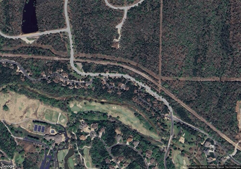
Map
- 101 Lost Creek Cir Unit 5
- 102 Lost Creek Cir
- 24 Lost Creek Cir
- 115 Baldknobber Dr Unit 26
- Lot 23 Cattail Ct
- 1111 Ledgestone Ln
- 1209 Ledgestone Cir
- 72 Beechwood Dr Unit 32
- 16 Limestone Dr
- 94 Ashwood Ln
- 801 Silvercliff Way
- 1311 Stoneycreek Ln
- Lot 139 Beechwood Dr
- Lot 24 Limestone Dr
- 412 Baldknobber Dr
- 1304 Stoneycreek Ln
- 807 Silvercliff Way
- Lot 134 Beechwood Dr
- 380 Beechwood Dr
- 350 Beechwood Dr
- 31 Mayberry Circle #17 Unit 16
- 31 Mayberry Cr #17 Unit 17
- 31 Mayberry Cir Unit 17
- 65 Mayberry Cir
- 65 Mayberry Cir Unit 16
- 26 Mayberry Cir Unit 11
- 26 Mayberry Cir
- 60 Mayberry Cir Unit 9
- 60 Mayberry Cir Unit 13 (On Sign)
- 72 Mayberry Cir Unit 14
- 117 Lost Creek Cir Unit 6
- 117 Lost Creek Cir
- 86 Mayberry Cir
- 101 Lost Creek Cir
- 102 Lost Creek Cir Unit 7
- 102 Lost Creek Cir Unit Lodge 7
- 15 Baldknobber Dr
- 24 Badknobber Dr Unit 18
- 26 Baldknobber Dr
- 72 Lost Creek Cir Unit 8
Ask me questions while you tour the home.