31 Rock Ridge Rd Westerly, RI 02891
Estimated Value: $1,074,000 - $1,387,000
About This Home
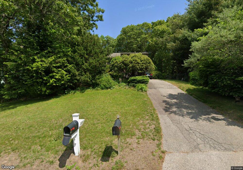
This home is located at 31 Rock Ridge Rd, Westerly, RI 02891 and is currently estimated at $1,200,146, approximately $394 per square foot. 31 Rock Ridge Rd is a home located in Washington County with nearby schools including Westerly High School and St. Michael School.
Ownership History
We collect this data history from publicly available records. To have your information removed, we recommend requesting removal directly through your county’s website.
Purchase Details
Home Financials for this Owner
Home Financials are based on the most recent Mortgage that was taken out on this home.Home Values in the Area
Average Home Value in this Area
Purchase History
We collect this data history from publicly available records. To have your information removed, we recommend requesting removal directly through your county’s website.
| Date | Buyer | Sale Price | Title Company |
|---|---|---|---|
| $260,000 | -- |
Mortgage History
We collect this data history from publicly available records. To have your information removed, we recommend requesting removal directly through your county’s website.
| Date | Status | Borrower | Loan Amount |
|---|---|---|---|
| Open | $87,292 | ||
| Open | $141,905 | ||
| Closed | $170,700 | ||
| Closed | $180,000 |
Tax History
We collect this data history from publicly available records. To have your information removed, we recommend requesting removal directly through your county’s website.
| Year | Tax Paid | Tax Assessment Tax Assessment Total Assessment is a certain percentage of the fair market value that is determined by local assessors to be the total taxable value of land and additions on the property. | Land | Improvement |
|---|---|---|---|---|
| 2025 | $6,021 | $846,900 | $355,400 | $491,500 |
| 2024 | $5,863 | $597,700 | $241,600 | $356,100 |
| 2023 | $5,750 | $597,700 | $241,600 | $356,100 |
| 2022 | $5,714 | $597,700 | $241,600 | $356,100 |
| 2021 | $5,297 | $459,800 | $178,600 | $281,200 |
| 2020 | $5,200 | $459,800 | $178,600 | $281,200 |
| 2019 | $5,150 | $459,800 | $178,600 | $281,200 |
| 2018 | $4,924 | $414,500 | $178,600 | $235,900 |
| 2017 | $4,804 | $414,500 | $178,600 | $235,900 |
| 2016 | $4,841 | $414,500 | $178,600 | $235,900 |
| 2015 | $4,688 | $433,300 | $182,300 | $251,000 |
| 2014 | $4,610 | $433,300 | $182,300 | $251,000 |
Map
- 28 Rock Ridge Rd
- 44 Rock Ridge Rd
- 229 Shore Rd
- 30 Wicklow Rd
- 5 Wicklow Rd
- 10 Lofty Heights Rd
- 30 Clifford Dr
- 17 Clifford Dr
- 3 Clifford Dr
- 20 Snowberry Ln
- 35 Post Rd
- 263 Post Rd
- 51 Quannacut Rd
- 446 Atlantic Ave
- 11 Bucks Trail
- 6 Wilder Ave
- 497 Atlantic Ave
- 408 Atlantic Ave
- 11 Wadchu Rd
- 419 Atlantic Ave
- 31 Rockridge Rd
- 33 Rock Ridge Rd
- 1 Ocean Ridge Dr
- 35 Rock Ridge Rd
- 34 Rock Ridge Rd
- 40 Wildflower Dr
- 36 Rock Ridge Rd
- 36 Wildflower Dr
- 32 Rock Ridge Rd
- 44 Wildflower Dr
- 39 Wildflower Dr
- 27 Rock Ridge Rd
- 2 Ocean Ridge Dr
- 4 Ocean Ridge Dr
- 35 Wildflower Dr
- 34 Wildflower Dr
- 38 Rock Ridge Rd
- 41 Wildflower Dr
- 25 Rock Ridge Rd
- 25 Rockridge Rd
Ask me questions while you tour the home.