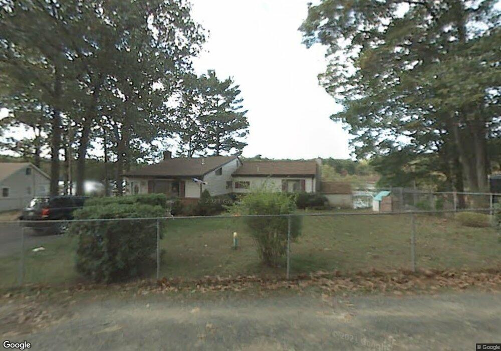
31 Schumann Dr Westfield, MA 01085
Estimated Value: $348,000 - $418,000
3
Beds
1
Bath
1,518
Sq Ft
$251/Sq Ft
Est. Value
About This Home
This home is located at 31 Schumann Dr, Westfield, MA 01085 and is currently estimated at $380,992, approximately $250 per square foot. 31 Schumann Dr is a home located in Hampden County with nearby schools including Westfield High School, Westfield Christian Academy, and White Oak School.
Ownership History
Date
Name
Owned For
Owner Type
Purchase Details
Closed on
Sep 24, 2025
Sold by
Oleksak James E and Oleksak Rose V
Bought by
James & Rose Oleksak Irt and Beaudry
Current Estimated Value
Purchase Details
Closed on
Dec 3, 2002
Sold by
Kinder Walter H and Kinder Patricia F
Bought by
Oleksak James E and Oleksak Rose V
Home Financials for this Owner
Home Financials are based on the most recent Mortgage that was taken out on this home.
Original Mortgage
$70,000
Interest Rate
6.16%
Mortgage Type
Purchase Money Mortgage
Purchase Details
Closed on
Mar 29, 1991
Sold by
Saunders Robert L and Saunders Gail M
Bought by
Kinder Walter H and Kinder Patricia F
Create a Home Valuation Report for This Property
The Home Valuation Report is an in-depth analysis detailing your home's value as well as a comparison with similar homes in the area
Home Values in the Area
Average Home Value in this Area
Purchase History
| Date | Buyer | Sale Price | Title Company |
|---|---|---|---|
| James & Rose Oleksak Irt | -- | -- | |
| Oleksak James E | $120,000 | -- | |
| Kinder Walter H | $117,900 | -- |
Source: Public Records
Mortgage History
| Date | Status | Borrower | Loan Amount |
|---|---|---|---|
| Previous Owner | Kinder Walter H | $65,500 | |
| Previous Owner | Kinder Walter H | $70,000 | |
| Previous Owner | Kinder Walter H | $60,000 |
Source: Public Records
Tax History
| Year | Tax Paid | Tax Assessment Tax Assessment Total Assessment is a certain percentage of the fair market value that is determined by local assessors to be the total taxable value of land and additions on the property. | Land | Improvement |
|---|---|---|---|---|
| 2025 | $5,064 | $333,600 | $159,900 | $173,700 |
| 2024 | $5,101 | $319,400 | $145,700 | $173,700 |
| 2023 | $4,931 | $290,400 | $138,600 | $151,800 |
| 2022 | $4,761 | $257,500 | $123,800 | $133,700 |
| 2021 | $2,516 | $243,700 | $116,600 | $127,100 |
| 2020 | $2,389 | $233,800 | $116,600 | $117,200 |
| 2019 | $4,394 | $223,400 | $111,200 | $112,200 |
| 2018 | $2,276 | $223,400 | $111,200 | $112,200 |
| 2017 | $4,272 | $220,000 | $112,700 | $107,300 |
| 2016 | $4,277 | $220,000 | $112,700 | $107,300 |
| 2015 | $3,482 | $187,800 | $80,500 | $107,300 |
| 2014 | $2,603 | $187,800 | $80,500 | $107,300 |
Source: Public Records
Map
Nearby Homes
- 288 Buck Pond Rd
- 21 Rider Rd
- 0 Char Dr
- 1768 E Mountain Rd
- 19 Cottage Ave
- 37 Sun Valley Rd
- 150 Middle Rd
- 24 Jaeger Dr
- 21 Old County Rd
- 45 Jaeger Dr
- 308 Apremont Hwy
- 868 Southampton Rd Unit 54
- 868 Southampton Rd Unit 70
- 1173 E Mountain Rd
- 57 White Loaf Rd
- 357 Southampton Rd
- 713 Holyoke Rd
- 30 Deepwoods Dr
- 244 Lower Westfield Rd
- 182 Lockhouse Rd
- 35 Schumann Dr
- 15 Schumann Dr
- 30 Schumann Dr
- 39 Schumann Dr
- 36 Schumann Dr
- 8 Schumann Dr
- 277 Buck Pond Rd
- 289 Buck Pond Rd
- 279 Buck Pond Rd
- 281 Buck Pond Rd
- 263 Buck Pond Rd
- 287 Buck Pond Rd
- 0 Buck Pond Rd
- 272 Buck Pond Rd
- 284 Buck Pond Rd
- 276 Buck Pond Rd
- 280 Buck Pond Rd
- 84 Lewis Rd
- 80 Lewis Rd
- 266 Buck Pond Rd
Your Personal Tour Guide
Ask me questions while you tour the home.