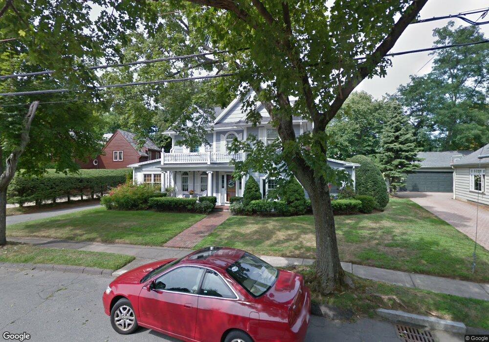
31 Stanley Rd Swampscott, MA 01907
Estimated Value: $1,310,522 - $1,678,000
3
Beds
3
Baths
2,832
Sq Ft
$502/Sq Ft
Est. Value
About This Home
This home is located at 31 Stanley Rd, Swampscott, MA 01907 and is currently estimated at $1,422,131, approximately $502 per square foot. 31 Stanley Rd is a home located in Essex County with nearby schools including Swampscott Middle School, Swampscott High School, and Devereux School.
Ownership History
Date
Name
Owned For
Owner Type
Purchase Details
Closed on
Jan 11, 2022
Sold by
Lindsey Lynn M
Bought by
Lynn Marie Lindsey Lt and Lindsey
Current Estimated Value
Purchase Details
Closed on
Apr 13, 2004
Sold by
Lindsey Jeffrey R and Lindsey Lynn M
Bought by
Lindsey Lynn M
Purchase Details
Closed on
Oct 21, 1994
Sold by
Lane Catherine M
Bought by
Lindsey Jeffrey R
Create a Home Valuation Report for This Property
The Home Valuation Report is an in-depth analysis detailing your home's value as well as a comparison with similar homes in the area
Home Values in the Area
Average Home Value in this Area
Purchase History
We collect this data history from publicly available records. To have your information removed, we recommend requesting removal directly through your county’s website.
| Date | Buyer | Sale Price | Title Company |
|---|---|---|---|
| Lynn Marie Lindsey Lt | -- | None Available | |
| Lindsey Lynn M | -- | -- | |
| Lindsey Lynn M | -- | -- | |
| Lindsey Lynn M | -- | -- | |
| Lindsey Jeffrey R | $299,900 | -- | |
| Lindsey Jeffrey R | $299,900 | -- |
Source: Public Records
Tax History
| Year | Tax Paid | Tax Assessment Tax Assessment Total Assessment is a certain percentage of the fair market value that is determined by local assessors to be the total taxable value of land and additions on the property. | Land | Improvement |
|---|---|---|---|---|
| 2025 | $12,638 | $1,101,800 | $396,300 | $705,500 |
| 2024 | $12,520 | $1,089,600 | $396,300 | $693,300 |
| 2023 | $11,677 | $994,600 | $357,700 | $636,900 |
| 2022 | $10,995 | $857,000 | $309,300 | $547,700 |
| 2021 | $11,275 | $817,000 | $280,300 | $536,700 |
| 2020 | $11,163 | $780,600 | $251,300 | $529,300 |
| 2019 | $12,133 | $798,200 | $232,000 | $566,200 |
| 2018 | $12,126 | $757,900 | $212,700 | $545,200 |
| 2017 | $12,164 | $697,100 | $185,600 | $511,500 |
| 2016 | $12,081 | $697,100 | $185,600 | $511,500 |
| 2015 | $11,955 | $697,100 | $185,600 | $511,500 |
| 2014 | $11,128 | $595,100 | $174,000 | $421,100 |
Source: Public Records
Map
Nearby Homes
- 212 Humphrey St Unit 202
- 21 Phillips Ave
- 2 Ocean Ave
- 20 Ocean Ave
- 21 Leggs Hill Rd
- 128 Ocean Ave
- 1008 Paradise Rd Unit 2E
- 1008 Paradise Rd Unit 3N
- 11 Angenica Terrace
- 1002 Paradise Rd Unit PHE
- 18 Rose Ave
- 1004 Paradise Rd Unit PHB
- 411 Atlantic Ave Unit 2
- 404 Paradise Rd Unit 1C
- 15 Oak View Ave
- 30 Shetland Rd
- 18 Pickwick Rd
- 26 Pickwick Rd
- 7 Cedarcrest Rd
- 18 America Way Unit 1
Your Personal Tour Guide
Ask me questions while you tour the home.