31 Westledge Dr Torrington, CT 06790
Estimated Value: $498,053 - $573,000
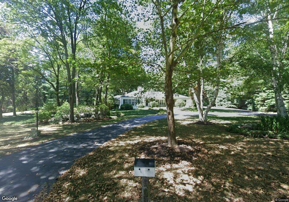
About This Home
This home is located at 31 Westledge Dr, Torrington, CT 06790 and is currently estimated at $548,513, approximately $247 per square foot. 31 Westledge Dr is a home located in Litchfield County with nearby schools including Torrington Middle School, Torrington High School, and St. John Paul the Great Academy.
Ownership History
We collect this data history from publicly available records. To have your information removed, we recommend requesting removal directly through your county’s website.
Purchase Details
Purchase Details
Home Values in the Area
Average Home Value in this Area
Purchase History
We collect this data history from publicly available records. To have your information removed, we recommend requesting removal directly through your county’s website.
| Date | Buyer | Sale Price | Title Company |
|---|---|---|---|
| -- | -- | ||
| $190,000 | -- | ||
| $190,000 | -- |
Mortgage History
We collect this data history from publicly available records. To have your information removed, we recommend requesting removal directly through your county’s website.
| Date | Status | Borrower | Loan Amount |
|---|---|---|---|
| Previous Owner | $230,000 |
Tax History
We collect this data history from publicly available records. To have your information removed, we recommend requesting removal directly through your county’s website.
| Year | Tax Paid | Tax Assessment Tax Assessment Total Assessment is a certain percentage of the fair market value that is determined by local assessors to be the total taxable value of land and additions on the property. | Land | Improvement |
|---|---|---|---|---|
| 2025 | $11,948 | $310,730 | $41,160 | $269,570 |
| 2024 | $8,737 | $182,140 | $33,770 | $148,370 |
| 2023 | $8,735 | $182,140 | $33,770 | $148,370 |
| 2022 | $8,586 | $182,140 | $33,770 | $148,370 |
| 2021 | $8,409 | $182,140 | $33,770 | $148,370 |
| 2020 | $8,409 | $182,140 | $33,770 | $148,370 |
| 2019 | $8,699 | $188,420 | $38,190 | $150,230 |
| 2018 | $8,699 | $188,420 | $38,190 | $150,230 |
| 2017 | $8,620 | $188,420 | $38,190 | $150,230 |
| 2016 | $8,620 | $188,420 | $38,190 | $150,230 |
| 2015 | $8,620 | $188,420 | $38,190 | $150,230 |
| 2014 | $8,185 | $225,370 | $70,230 | $155,140 |
Map
- 68 Westledge Terrace
- 349 Allen Rd Unit 34C
- 305 Westledge Dr
- 42 Pondside Ln
- 243 Roberts St
- 205 Oakbrook Ln
- 20 Lawrence Ln
- 129 Oakbrook Ln
- 38 Johnson St
- 57 Workman Ave
- 143 Colorado Ave N
- 134 Mount Pleasant Terrace
- 52 Workman Ave
- 141 Riverside Ave
- 150 Woodbine St
- 616 Migeon Ave Unit 9
- 48 Dewey St
- 62 Highland Ave
- 84 Chestnut Ave
- 169 Central Ave
- D Westledge Dr
- 55 Westledge Dr
- 00 Westledge Dr Unit 20
- 00 Westledge Dr Unit 18
- 00 Westledge Dr
- 0 Westledge Dr Unit L130725
- 0 Westledge Dr Unit L143948
- 0 Westledge Dr Unit L149084
- 0 Westledge Dr Unit L10233682
- 24 Westledge Dr
- 477 Allen Rd
- 38 Westledge Cir
- 405 Allen Rd
- 12 Homestead Rd
- 526 Allen Rd
- 535 Allen Rd
- 87 Westledge Dr
- 384 Allen Rd
- 40 Homestead Rd
- 42 Westledge Cir
Ask me questions while you tour the home.