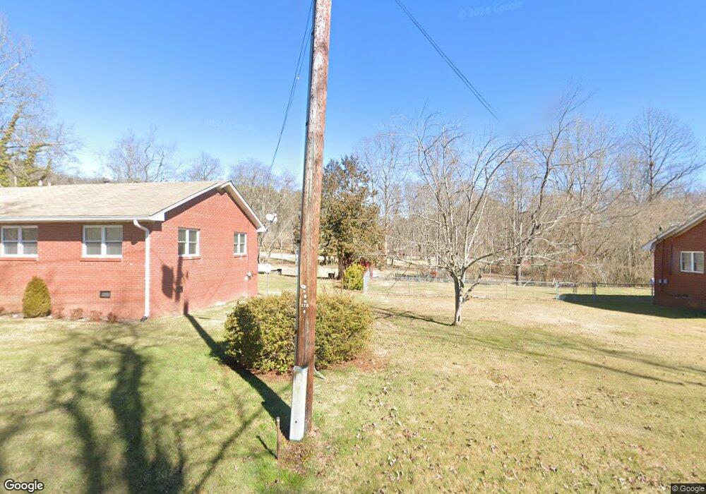
310 Bob Mark Trail Rabun Gap, GA 30568
Estimated Value: $244,114 - $434,000
3
Beds
2
Baths
1,324
Sq Ft
$257/Sq Ft
Est. Value
About This Home
This home is located at 310 Bob Mark Trail, Rabun Gap, GA 30568 and is currently estimated at $340,529, approximately $257 per square foot. 310 Bob Mark Trail is a home located in Rabun County with nearby schools including Rabun County Primary School, Rabun County High School, and Rabun Gap-Nacoochee School.
Ownership History
Date
Name
Owned For
Owner Type
Purchase Details
Closed on
Jan 16, 2016
Sold by
Lamb Tommy Dean
Bought by
Fountain Cleo B and Thomas Fountain G
Current Estimated Value
Purchase Details
Closed on
Jan 13, 2016
Sold by
Lamb William Dwayne
Bought by
Lamb Tommy Dean
Purchase Details
Closed on
Aug 1, 2006
Sold by
Not Provided
Bought by
Lamb Agnes M
Purchase Details
Closed on
Oct 1, 2004
Purchase Details
Closed on
Jan 1, 1973
Create a Home Valuation Report for This Property
The Home Valuation Report is an in-depth analysis detailing your home's value as well as a comparison with similar homes in the area
Home Values in the Area
Average Home Value in this Area
Purchase History
| Date | Buyer | Sale Price | Title Company |
|---|---|---|---|
| Fountain Cleo B | $90,000 | -- | |
| Fountain Cleo B | $90,000 | -- | |
| Lamb Tommy Dean | -- | -- | |
| Lamb Tommy Dean | -- | -- | |
| Lamb Agnes M | -- | -- | |
| Lamb Agnes M | -- | -- | |
| -- | -- | -- | |
| -- | -- | -- | |
| -- | $28,500 | -- | |
| -- | $28,500 | -- |
Source: Public Records
Tax History
| Year | Tax Paid | Tax Assessment Tax Assessment Total Assessment is a certain percentage of the fair market value that is determined by local assessors to be the total taxable value of land and additions on the property. | Land | Improvement |
|---|---|---|---|---|
| 2025 | $1,024 | $67,732 | $10,000 | $57,732 |
| 2024 | $999 | $64,212 | $10,000 | $54,212 |
| 2023 | $1,055 | $57,614 | $10,000 | $47,614 |
| 2022 | $1,024 | $55,962 | $10,000 | $45,962 |
| 2021 | $950 | $50,688 | $10,000 | $40,688 |
| 2020 | $736 | $37,938 | $10,000 | $27,938 |
| 2019 | $722 | $36,961 | $10,000 | $26,961 |
| 2018 | $725 | $36,961 | $10,000 | $26,961 |
| 2017 | $677 | $36,961 | $10,000 | $26,961 |
| 2016 | $744 | $39,474 | $10,000 | $29,474 |
| 2015 | $448 | $36,484 | $10,000 | $26,484 |
| 2014 | $425 | $35,204 | $10,000 | $25,204 |
Source: Public Records
Map
Nearby Homes
- 243 Degroff Ln
- 6159 Wolffork Rd
- 0 Ov Justus Rd
- 1422 Wolffork Rd
- 5192 Wolffork Rd
- 0 Uplander Unit 10628218
- 0 Uplander Unit M181832
- 0 Uplander Unit 10662256
- 0 Wolffork Rd Unit 10624471
- 0 N U S 441 NW Unit 10489249
- 52 Lucky Ln
- 0 Us-441 S Unit 10226435
- 208 Colony Rd
- 513 Coleman Heights Ln
- 174 Bell Colony Rd
- 5019 Wolffork Rd
- 16 Riverview Ln
- 476 Franklin St
- LOT SM4 Raven Fork Trail
- 0 Smokey Hollow Dr Unit LOT 27 10561110
- 260 Bob Mark Trail
- 411 Bob Mark Trail
- 230 Bob Mark Trail
- 80 Lynn Ann Ln
- 430 Bob Mark Trail
- 202 Bob Mark Trail
- 021 Meadow Brook Ln Unit 21
- 476 Bob Mark Trail
- 0 Sandy Ln Unit Lot 8 8285208
- 0 Sandy Ln Unit 8 8056245
- 950 Meadow Brook Ln
- 768 Meadow Brook
- 0 Shake Hollow Unit Lot 214 8389439
- 0 Shake Hollow Unit LT 227 3134547
- 0 Shake Hollow Unit LT 212 3134543
- 0 Shake Hollow Unit LT 226 3134538
- 0 Shake Hollow Unit LT 224 3134531
- 0 Shake Hollow Unit LT 214 3134536
- 0 Shake Hollow Unit LT 202 3134519
- 0 Shake Hollow Unit LT 219 3134512
Your Personal Tour Guide
Ask me questions while you tour the home.