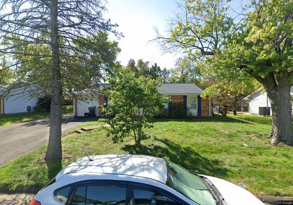
310 E Tazewell Rd Sterling, VA 20164
Estimated Value: $511,000 - $559,000
3
Beds
2
Baths
1,300
Sq Ft
$416/Sq Ft
Est. Value
About This Home
This home is located at 310 E Tazewell Rd, Sterling, VA 20164 and is currently estimated at $540,853, approximately $416 per square foot. 310 E Tazewell Rd is a home located in Loudoun County with nearby schools including Forest Grove Elementary School, Sterling Middle School, and Park View High School.
Ownership History
Date
Name
Owned For
Owner Type
Purchase Details
Closed on
Sep 24, 1999
Sold by
Hatfield Mark J
Bought by
Hatfield Jacqueline
Current Estimated Value
Purchase Details
Closed on
Oct 22, 1996
Bought by
Hatfield Mark J and Hatfield Jacqueline L
Home Financials for this Owner
Home Financials are based on the most recent Mortgage that was taken out on this home.
Original Mortgage
$98,000
Interest Rate
8.26%
Mortgage Type
Credit Line Revolving
Create a Home Valuation Report for This Property
The Home Valuation Report is an in-depth analysis detailing your home's value as well as a comparison with similar homes in the area
Home Values in the Area
Average Home Value in this Area
Purchase History
| Date | Buyer | Sale Price | Title Company |
|---|---|---|---|
| Hatfield Jacqueline | -- | -- | |
| Hatfield Mark J | -- | -- |
Source: Public Records
Mortgage History
| Date | Status | Borrower | Loan Amount |
|---|---|---|---|
| Previous Owner | Hatfield Mark J | $98,000 |
Source: Public Records
Tax History
| Year | Tax Paid | Tax Assessment Tax Assessment Total Assessment is a certain percentage of the fair market value that is determined by local assessors to be the total taxable value of land and additions on the property. | Land | Improvement |
|---|---|---|---|---|
| 2025 | $4,160 | $516,710 | $233,200 | $283,510 |
| 2024 | $4,242 | $490,400 | $208,200 | $282,200 |
| 2023 | $3,853 | $440,290 | $208,200 | $232,090 |
| 2022 | $3,767 | $423,310 | $188,200 | $235,110 |
| 2021 | $3,737 | $381,300 | $178,200 | $203,100 |
| 2020 | $3,631 | $350,830 | $153,200 | $197,630 |
| 2019 | $3,479 | $332,940 | $153,200 | $179,740 |
| 2018 | $3,394 | $312,840 | $138,200 | $174,640 |
| 2017 | $3,369 | $299,480 | $138,200 | $161,280 |
| 2016 | $3,283 | $286,760 | $0 | $0 |
| 2015 | $3,015 | $145,920 | $0 | $145,920 |
| 2014 | $2,969 | $137,350 | $0 | $137,350 |
Source: Public Records
Map
Nearby Homes
- 110 Almey Ct
- 2 Providence Square
- 175 Edinburgh Square
- 22855 Lacey Oak Terrace
- 1049A Margate Ct
- 1042 Tottenham Ct
- 1032B Margate Ct
- 1021A Brixton Ct
- 204 Pin Oak Ct
- 100 N Duke Dr Unit 269
- 102 N Duke Dr
- 115 N Duke Dr
- 121 N Fillmore Ave Unit 1
- 801 S Hoga St
- 141 N Fillmore Ave Unit 10
- 133 N Baylor Dr Unit 97
- 1212 Bond St
- 22989 Whitehall Terrace
- 108 N Garfield Rd
- 107 N Aspen Ave
- 312 E Tazewell Rd
- 308 E Tazewell Rd
- 311 Williamsburg Rd
- 313 Williamsburg Rd
- 314 E Tazewell Rd
- 306 E Tazewell Rd
- 309 E Tazewell Rd
- 307 Williamsburg Rd
- 307 E Tazewell Rd
- 315 Williamsburg Rd
- 311 E Tazewell Rd
- 316 E Tazewell Rd
- 305 E Tazewell Rd
- 313 E Tazewell Rd
- 304 E Tazewell Rd
- 305 Williamsburg Rd
- 317 Williamsburg Rd
- 306 E Staunton Ave
- 315 E Tazewell Rd
- 308 E Staunton Ave
Your Personal Tour Guide
Ask me questions while you tour the home.