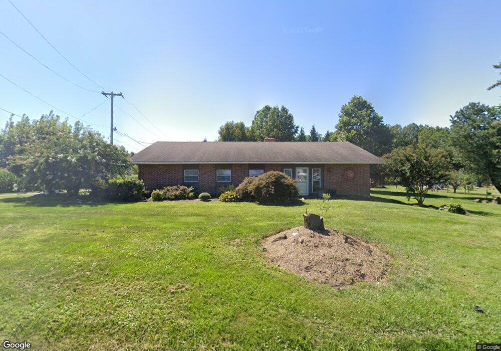
310 Line Rd Kennett Square, PA 19348
Estimated Value: $373,387 - $585,000
1
Bed
1
Bath
1,960
Sq Ft
$236/Sq Ft
Est. Value
About This Home
This home is located at 310 Line Rd, Kennett Square, PA 19348 and is currently estimated at $462,347, approximately $235 per square foot. 310 Line Rd is a home located in Chester County with nearby schools including Kennett Middle School, Kennett High School, and Avon Grove Charter School.
Ownership History
Date
Name
Owned For
Owner Type
Purchase Details
Closed on
Apr 25, 1997
Sold by
Nichols Roger H and Casteneda David
Bought by
Casteneda David
Current Estimated Value
Home Financials for this Owner
Home Financials are based on the most recent Mortgage that was taken out on this home.
Original Mortgage
$70,000
Interest Rate
7.85%
Purchase Details
Closed on
Aug 23, 1996
Sold by
Islamic Society Of Chester County
Bought by
Nichols Roger H and Castaneda David
Create a Home Valuation Report for This Property
The Home Valuation Report is an in-depth analysis detailing your home's value as well as a comparison with similar homes in the area
Home Values in the Area
Average Home Value in this Area
Purchase History
| Date | Buyer | Sale Price | Title Company |
|---|---|---|---|
| Casteneda David | $85,000 | -- | |
| Nichols Roger H | $70,000 | -- |
Source: Public Records
Mortgage History
| Date | Status | Borrower | Loan Amount |
|---|---|---|---|
| Closed | Casteneda David | $70,000 |
Source: Public Records
Tax History
| Year | Tax Paid | Tax Assessment Tax Assessment Total Assessment is a certain percentage of the fair market value that is determined by local assessors to be the total taxable value of land and additions on the property. | Land | Improvement |
|---|---|---|---|---|
| 2025 | $4,153 | $103,700 | $35,550 | $68,150 |
| 2024 | $4,153 | $103,700 | $35,550 | $68,150 |
| 2023 | $4,014 | $103,700 | $35,550 | $68,150 |
| 2022 | $3,955 | $103,700 | $35,550 | $68,150 |
| 2021 | $3,915 | $103,700 | $35,550 | $68,150 |
| 2020 | $3,841 | $103,700 | $35,550 | $68,150 |
| 2019 | $3,789 | $103,700 | $35,550 | $68,150 |
| 2018 | $3,730 | $103,700 | $35,550 | $68,150 |
| 2017 | $3,653 | $103,700 | $35,550 | $68,150 |
| 2016 | $411 | $103,700 | $35,550 | $68,150 |
| 2015 | $411 | $103,700 | $35,550 | $68,150 |
| 2014 | $411 | $103,700 | $35,550 | $68,150 |
Source: Public Records
Map
Nearby Homes
- 112 Bancroft Rd
- 105 Waywood Ln Unit 35
- 292 Kestrel Ct
- 9 Tullow Hill Dr
- 15 Tullow Hill Dr
- 11 Tullow Hill Dr
- 000 Tullow Hill Dr Unit CARLTON GRND
- 14 Tullow Hill Dr
- 13 Tullow Hill Dr
- 00 Tullow Hill Dr Unit SUTTON
- 104 Deer Creek Crossing
- 112 Foragers Ln
- 103 Foragers Ln
- 217 Kestrel Ct
- 156 Bancroft Rd Unit CARLTON
- 156 Bancroft Rd Unit SGR
- 131 Foragers Ln
- 140 Foragers Ln
- 128 Foragers Ln
- 150 Foragers Ln
Your Personal Tour Guide
Ask me questions while you tour the home.