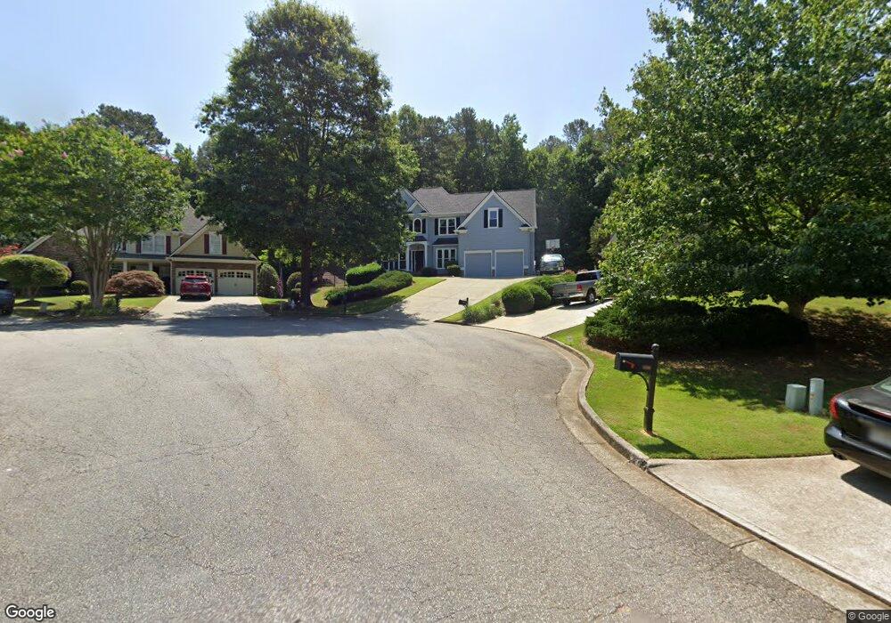
310 Maple Grove Ct Unit 2J Canton, GA 30114
Sutallee NeighborhoodEstimated Value: $538,000 - $558,302
5
Beds
3
Baths
2,346
Sq Ft
$234/Sq Ft
Est. Value
About This Home
This home is located at 310 Maple Grove Ct Unit 2J, Canton, GA 30114 and is currently estimated at $548,151, approximately $233 per square foot. 310 Maple Grove Ct Unit 2J is a home located in Cherokee County with nearby schools including Sixes Elementary School, Freedom Middle School, and Woodstock High School.
Ownership History
Date
Name
Owned For
Owner Type
Purchase Details
Closed on
Nov 4, 2004
Sold by
Poole James and Poole Kelly
Bought by
Poole James and Poole Kelly
Current Estimated Value
Home Financials for this Owner
Home Financials are based on the most recent Mortgage that was taken out on this home.
Original Mortgage
$22,000
Outstanding Balance
$16,115
Interest Rate
5.77%
Mortgage Type
New Conventional
Estimated Equity
$532,036
Purchase Details
Closed on
Jan 31, 2003
Sold by
Blueridge Residential Inc
Bought by
Morway Ronald C and Morway Melanie
Home Financials for this Owner
Home Financials are based on the most recent Mortgage that was taken out on this home.
Original Mortgage
$182,320
Interest Rate
5.95%
Mortgage Type
New Conventional
Create a Home Valuation Report for This Property
The Home Valuation Report is an in-depth analysis detailing your home's value as well as a comparison with similar homes in the area
Home Values in the Area
Average Home Value in this Area
Purchase History
We collect this data history from publicly available records. To have your information removed, we recommend requesting removal directly through your county’s website.
| Date | Buyer | Sale Price | Title Company |
|---|---|---|---|
| Poole James | -- | -- | |
| Poole James | $235,000 | -- | |
| Sirva Relocation Llc | $235,000 | -- | |
| Morway Ronald C | $227,900 | -- |
Source: Public Records
Mortgage History
We collect this data history from publicly available records. To have your information removed, we recommend requesting removal directly through your county’s website.
| Date | Status | Borrower | Loan Amount |
|---|---|---|---|
| Open | Sirva Relocation Llc | $22,000 | |
| Closed | Sirva Relocation Llc | $22,000 | |
| Open | Sirva Relocation Llc | $188,000 | |
| Previous Owner | Morway Ronald C | $182,320 |
Source: Public Records
Tax History
| Year | Tax Paid | Tax Assessment Tax Assessment Total Assessment is a certain percentage of the fair market value that is determined by local assessors to be the total taxable value of land and additions on the property. | Land | Improvement |
|---|---|---|---|---|
| 2025 | $4,902 | $211,116 | $41,600 | $169,516 |
| 2024 | $4,627 | $198,120 | $38,000 | $160,120 |
| 2023 | $4,100 | $193,720 | $38,000 | $155,720 |
| 2022 | $4,061 | $168,960 | $35,200 | $133,760 |
| 2021 | $3,819 | $143,960 | $25,600 | $118,360 |
| 2020 | $3,518 | $130,840 | $25,600 | $105,240 |
| 2019 | $3,553 | $128,320 | $25,600 | $102,720 |
| 2018 | $3,364 | $119,920 | $24,000 | $95,920 |
| 2017 | $3,326 | $294,300 | $20,400 | $97,320 |
| 2016 | $3,232 | $283,300 | $20,400 | $92,920 |
| 2015 | $2,578 | $225,000 | $18,000 | $72,000 |
| 2014 | $2,507 | $218,500 | $18,000 | $69,400 |
Source: Public Records
Map
Nearby Homes
- 108 Windsong Trail
- 327 Laurel Glen Crossing Unit 21
- 982 Bridgemill Ave
- 311 Summerstone Ct
- 1000 Delta Dr
- 102 Ivygreen Chase Unit 2B
- 251 Parc Dr
- 1041 Bridge Mill Ave
- 1041 Bridgemill Ave
- 147 Henley St Unit 63
- 147 Henley St
- 155 Henley St Unit 61
- 155 Henley St
- 265 Parc Dr
- 160 Henley St Unit 15
- 160 Henley St
- 152 Henley St
- 152 Henley St Unit 13
- 164 Henley St
- 180 Henley St
- 308 Maple Grove Ct
- 309 Maple Grove Ct Unit 2J
- 118 Windsong Trail
- 116 Windsong Trail Unit 2H
- 114 Windsong Trail Unit 2H
- 307 Maple Grove Ct
- 306 Maple Grove Ct Unit 2J
- 112 Windsong Trail
- 122 Windsong Trail
- 110 Windsong Trail Unit 2H
- 128 Windsong Trail Unit 2J
- 124 Windsong Trail
- 130 Windsong Trail Unit 2289
- 126 Windsong Trail Unit 2J
- 120 Windsong Trail
- 305 Maple Grove Ct Unit 2J
- 304 Maple Grove Ct
- 106 Windsong Trail
- 132 Windsong Trail Unit 2J
- 303 Maple Grove Ct
Your Personal Tour Guide
Ask me questions while you tour the home.