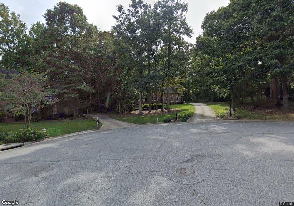
310 Pearce Dr Jamestown, NC 27282
Estimated Value: $625,739 - $703,000
About This Home
This home is located at 310 Pearce Dr, Jamestown, NC 27282 and is currently estimated at $666,685, approximately $177 per square foot. 310 Pearce Dr is a home located in Guilford County with nearby schools including Millis Road Elementary School, Jamestown Middle School, and Ragsdale High School.
Ownership History
We collect this data history from publicly available records. To have your information removed, we recommend requesting removal directly through your county’s website.
Purchase Details
Home Financials for this Owner
Home Financials are based on the most recent Mortgage that was taken out on this home.Purchase Details
Home Financials for this Owner
Home Financials are based on the most recent Mortgage that was taken out on this home.Purchase Details
Home Financials for this Owner
Home Financials are based on the most recent Mortgage that was taken out on this home.Purchase Details
Home Values in the Area
Average Home Value in this Area
Purchase History
We collect this data history from publicly available records. To have your information removed, we recommend requesting removal directly through your county’s website.
| Date | Buyer | Sale Price | Title Company |
|---|---|---|---|
| $415,000 | -- | ||
| $387,500 | -- | ||
| $360,000 | -- | ||
| $55,000 | -- |
Mortgage History
We collect this data history from publicly available records. To have your information removed, we recommend requesting removal directly through your county’s website.
| Date | Status | Borrower | Loan Amount |
|---|---|---|---|
| Open | $332,000 | ||
| Previous Owner | $252,700 | ||
| Previous Owner | $284,800 | ||
| Closed | $34,800 |
Tax History
We collect this data history from publicly available records. To have your information removed, we recommend requesting removal directly through your county’s website.
| Year | Tax Paid | Tax Assessment Tax Assessment Total Assessment is a certain percentage of the fair market value that is determined by local assessors to be the total taxable value of land and additions on the property. | Land | Improvement |
|---|---|---|---|---|
| 2025 | $6,124 | $451,800 | $65,000 | $386,800 |
| 2024 | $6,124 | $451,800 | $65,000 | $386,800 |
| 2023 | $6,124 | $451,800 | $65,000 | $386,800 |
| 2022 | $5,492 | $451,800 | $65,000 | $386,800 |
| 2021 | $4,883 | $401,700 | $65,000 | $336,700 |
| 2020 | $4,883 | $401,700 | $65,000 | $336,700 |
| 2019 | $4,814 | $401,700 | $0 | $0 |
| 2018 | $4,790 | $401,700 | $0 | $0 |
| 2017 | $4,790 | $401,700 | $0 | $0 |
| 2016 | $4,666 | $385,600 | $0 | $0 |
| 2015 | $4,685 | $385,600 | $0 | $0 |
| 2014 | $4,724 | $385,600 | $0 | $0 |
Map
- 200 Stafford Oak Dr
- 120 Brookberry Dr
- 113 Brookberry Dr
- 3820 Hunt Chase Dr
- 222 Shadowlawn Dr
- 4312 Vickrey Chapel Rd N
- 3712 Creek Point Way
- 206 Mary Montrose Blvd
- 213 Ranger Rd
- 309 Sefton Dr
- 302 Ranger Rd
- 305 Sefton Dr
- 306 Sefton Dr
- 302 Sefton Dr
- 509 Nassco Place
- 306 Ranger Rd
- 304 Ranger Rd
- 302 Priam Way
- 303 Sefton Dr
- 204 Mary Montrose Blvd
Ask me questions while you tour the home.