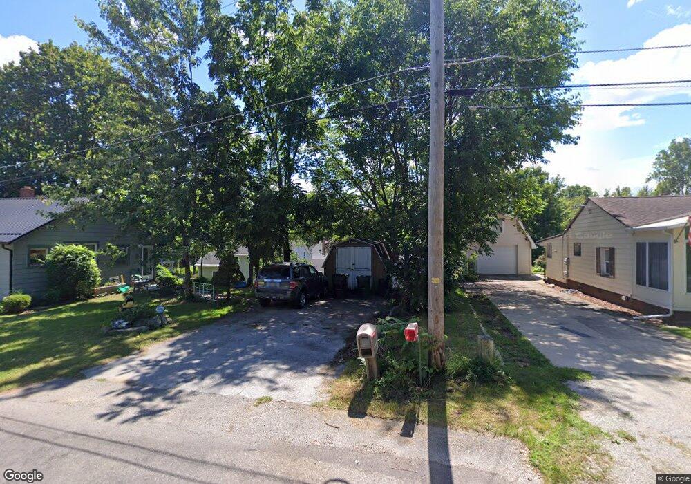
310 Taylor St Amherst, OH 44001
Estimated Value: $117,000 - $143,218
3
Beds
1
Bath
976
Sq Ft
$136/Sq Ft
Est. Value
About This Home
This home is located at 310 Taylor St, Amherst, OH 44001 and is currently estimated at $133,055, approximately $136 per square foot. 310 Taylor St is a home located in Lorain County with nearby schools including Powers Elementary School, Walter G. Nord Middle School, and Amherst Junior High School.
Ownership History
Date
Name
Owned For
Owner Type
Purchase Details
Closed on
Oct 22, 2018
Sold by
Koba Linda
Bought by
Sherrard Shelly Jean
Current Estimated Value
Purchase Details
Closed on
Jun 28, 2013
Sold by
Grundy David C
Bought by
Koba Linda
Purchase Details
Closed on
Apr 5, 2010
Sold by
Reiman Sharon and Reiman Glen A
Bought by
Koba Linda
Purchase Details
Closed on
Jun 27, 2001
Sold by
Estate Of Margaret L Grundy
Bought by
Koba Linda and Reiman Sharon
Create a Home Valuation Report for This Property
The Home Valuation Report is an in-depth analysis detailing your home's value as well as a comparison with similar homes in the area
Home Values in the Area
Average Home Value in this Area
Purchase History
We collect this data history from publicly available records. To have your information removed, we recommend requesting removal directly through your county’s website.
| Date | Buyer | Sale Price | Title Company |
|---|---|---|---|
| Sherrard Shelly Jean | $7,000 | Miller Home Title | |
| Koba Linda | -- | None Available | |
| Koba Linda | -- | Attorney | |
| Koba Linda | -- | -- |
Source: Public Records
Tax History
| Year | Tax Paid | Tax Assessment Tax Assessment Total Assessment is a certain percentage of the fair market value that is determined by local assessors to be the total taxable value of land and additions on the property. | Land | Improvement |
|---|---|---|---|---|
| 2024 | $1,337 | $31,154 | $6,416 | $24,738 |
| 2023 | $752 | $14,308 | $6,227 | $8,082 |
| 2022 | $723 | $14,308 | $6,227 | $8,082 |
| 2021 | $723 | $14,308 | $6,227 | $8,082 |
| 2020 | $664 | $11,600 | $5,050 | $6,550 |
| 2019 | $650 | $11,600 | $5,050 | $6,550 |
| 2018 | $770 | $11,600 | $5,050 | $6,550 |
| 2017 | $887 | $15,330 | $4,800 | $10,530 |
| 2016 | $893 | $15,330 | $4,800 | $10,530 |
| 2015 | $889 | $15,330 | $4,800 | $10,530 |
| 2014 | $843 | $14,730 | $4,610 | $10,120 |
| 2013 | $845 | $14,730 | $4,610 | $10,120 |
Source: Public Records
Map
Nearby Homes
- 950 Park Ave
- 380 Broadway St
- 224 S Leavitt Rd
- 151 Woodhill Dr
- 588 Jackson St
- 105 N Woodhill Dr
- 495 Church St
- 0 Middle Ridge Rd Unit 5180506
- 0 Middle Ridge Rd Unit 5102632
- 310 N Woodhill Dr
- 156 Beaver Ct
- 133 Crownhill Ave
- 7475 S Dewey Rd
- 107 Keswick Ct
- 953 Longitude Ln
- V/L Middle Ridge Rd
- 267 Milan Ave
- 363 Seeley St
- 578 Fieldstone Dr
- 578 N Main St
Your Personal Tour Guide
Ask me questions while you tour the home.