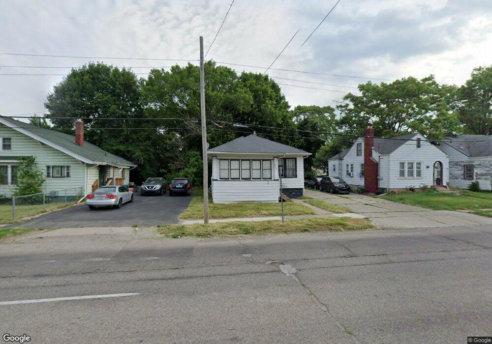
310 W Pasadena Ave Flint, MI 48505
King Avenue Plus NeighborhoodEstimated Value: $30,000 - $59,000
2
Beds
1
Bath
864
Sq Ft
$48/Sq Ft
Est. Value
About This Home
This home is located at 310 W Pasadena Ave, Flint, MI 48505 and is currently estimated at $41,609, approximately $48 per square foot. 310 W Pasadena Ave is a home located in Genesee County with nearby schools including Brownell STEM Academy, The New Standard Academy, and Greater Heights Academy.
Ownership History
Date
Name
Owned For
Owner Type
Purchase Details
Closed on
Oct 2, 2023
Sold by
Cherry Deborah L
Bought by
Uru Way Llc
Current Estimated Value
Purchase Details
Closed on
Mar 10, 2015
Sold by
Genesee County Land Bank Authority
Bought by
Council Stephen
Purchase Details
Closed on
Jan 11, 2012
Sold by
The Genesee County Land Bank Authority
Bought by
Council Stephen
Purchase Details
Closed on
Dec 21, 2011
Sold by
Genesee County Treasurer
Bought by
Genesee County Land Bank
Purchase Details
Closed on
Jun 30, 2008
Sold by
Calhoun Walter and Calhoun Myrtis M
Bought by
Calhoun Avion M
Purchase Details
Closed on
Jun 8, 2006
Sold by
Seger Thomas E
Bought by
The Thomas E Seger Revocable Living Tr
Purchase Details
Closed on
Oct 9, 2002
Sold by
American Housing Trust Ii
Bought by
Calhoun Walter and Calhoun Myrtis M
Create a Home Valuation Report for This Property
The Home Valuation Report is an in-depth analysis detailing your home's value as well as a comparison with similar homes in the area
Home Values in the Area
Average Home Value in this Area
Purchase History
We collect this data history from publicly available records. To have your information removed, we recommend requesting removal directly through your county’s website.
| Date | Buyer | Sale Price | Title Company |
|---|---|---|---|
| Uru Way Llc | $7,900 | None Listed On Document | |
| Council Stephen | $5,000 | None Available | |
| Council Stephen | $5,000 | None Available | |
| Genesee County Land Bank | -- | None Available | |
| Calhoun Avion M | $15,000 | Cislo Title Co | |
| The Thomas E Seger Revocable Living Tr | -- | None Available | |
| Calhoun Walter | $12,000 | -- |
Source: Public Records
Mortgage History
We collect this data history from publicly available records. To have your information removed, we recommend requesting removal directly through your county’s website.
| Date | Status | Borrower | Loan Amount |
|---|---|---|---|
| Closed | Council Stephen | $0 |
Source: Public Records
Tax History
| Year | Tax Paid | Tax Assessment Tax Assessment Total Assessment is a certain percentage of the fair market value that is determined by local assessors to be the total taxable value of land and additions on the property. | Land | Improvement |
|---|---|---|---|---|
| 2025 | $852 | $9,200 | $0 | $0 |
| 2024 | $840 | $8,900 | $0 | $0 |
| 2023 | $569 | $7,100 | $0 | $0 |
| 2022 | $0 | $6,000 | $0 | $0 |
| 2021 | $583 | $5,800 | $0 | $0 |
| 2020 | $623 | $7,500 | $0 | $0 |
| 2019 | $651 | $8,200 | $0 | $0 |
| 2018 | $640 | $8,500 | $0 | $0 |
| 2017 | $624 | $0 | $0 | $0 |
| 2016 | $620 | $0 | $0 | $0 |
| 2015 | -- | $0 | $0 | $0 |
| 2014 | -- | $0 | $0 | $0 |
| 2012 | -- | $0 | $0 | $0 |
Source: Public Records
Map
Nearby Homes
- 217 W Dewey St
- 200 W Mcclellan St
- 432 W Dartmouth St
- 3422 Race St
- 205 E Jackson Ave
- 124 W Rankin St
- 218 E Jackson Ave
- 3810 Marvin St
- 4026 Race St
- 3207 Milbourne Ave
- 1013 W Pasadena Ave
- 1102 Pasadena Ave
- 929 W Genesee St
- 2718 N Chevrolet Ave
- 310 White St
- 2309 Mason St
- 3722 Sterling St
- 124 W Flint Park Blvd
- 702/718 W Flint Park Blvd
- 2217 Francis Ave
- 306 W Pasadena Ave
- 3402 Mason St
- 302 W Pasadena Ave
- 3409 Robin St
- 3414 Mason St
- 3413 Robin St
- 3420 Mason St
- 221 W Pasadena Ave
- 3404 Robin St
- 3426 Mason St
- 3419 Robin St
- 213 W Pasadena Ave
- 3312 Mason St
- 3421 Mason St
- 218 W Pasadena Ave
- 229 W Pasadena Ave
- 3401 Mason St
- 3502 Mason St
- 209 W Pasadena Ave
- 3501 Robin St
Your Personal Tour Guide
Ask me questions while you tour the home.