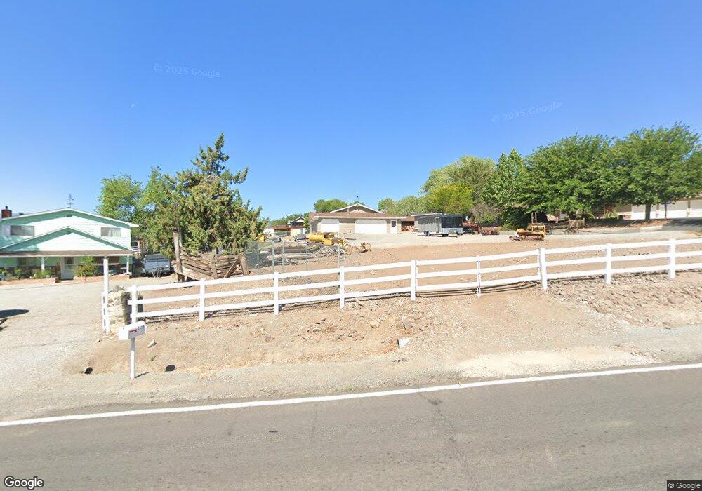
3101 Sullivan Ln Sparks, NV 89431
Oddie Boulevard NeighborhoodEstimated Value: $597,000 - $1,350,000
About This Home
This home is located at 3101 Sullivan Ln, Sparks, NV 89431 and is currently estimated at $902,524, approximately $232 per square foot. 3101 Sullivan Ln is a home located in Washoe County with nearby schools including Agnes Risley Elementary School, Sparks Middle School, and Sparks High School.
Ownership History
We collect this data history from publicly available records. To have your information removed, we recommend requesting removal directly through your county’s website.
Purchase Details
Purchase Details
Purchase Details
Home Values in the Area
Average Home Value in this Area
Purchase History
We collect this data history from publicly available records. To have your information removed, we recommend requesting removal directly through your county’s website.
| Date | Buyer | Sale Price | Title Company |
|---|---|---|---|
| -- | None Available | ||
| -- | -- | ||
| -- | Western Title Inc |
Tax History
We collect this data history from publicly available records. To have your information removed, we recommend requesting removal directly through your county’s website.
| Year | Tax Paid | Tax Assessment Tax Assessment Total Assessment is a certain percentage of the fair market value that is determined by local assessors to be the total taxable value of land and additions on the property. | Land | Improvement |
|---|---|---|---|---|
| 2026 | $2,666 | $151,717 | $50,313 | $101,404 |
| 2025 | $3,476 | $149,287 | $50,313 | $98,975 |
| 2024 | $3,476 | $147,370 | $48,738 | $98,632 |
| 2023 | $2,513 | $136,966 | $45,588 | $91,378 |
| 2022 | $3,288 | $114,180 | $38,238 | $75,942 |
| 2021 | $3,197 | $104,687 | $27,330 | $77,357 |
| 2020 | $3,144 | $104,813 | $26,082 | $78,731 |
| 2019 | $3,055 | $103,488 | $25,358 | $78,130 |
| 2018 | $2,875 | $90,640 | $16,100 | $74,540 |
| 2017 | $2,871 | $90,649 | $15,174 | $75,475 |
| 2016 | $2,954 | $93,258 | $15,174 | $78,084 |
| 2015 | $2,951 | $94,929 | $15,174 | $79,755 |
| 2014 | $2,819 | $88,797 | $12,075 | $76,722 |
| 2013 | -- | $87,165 | $10,787 | $76,378 |
Map
- 2676 Adel Way
- 3102 Sterling Ridge Cir Unit 64
- 3040 Sterling Ridge Cir
- 2575 Garfield Dr
- 3206 Sterling Ridge Cir Unit 139
- 3002 Sterling Ridge Cir
- 3006 Sterling Ridge Cir
- 3230 Wedekind Rd Unit 123
- 2247 Oppio St
- 2195 Charolaise Cir
- 1544 Chester Square
- 2295 Rock Blvd
- 3528 Mashie Dr
- 2671 Cityview Terrace
- 1460 Upton Way
- 1400 Gault Way
- 2190 Silverada Blvd
- 2373 Wildcreek Dr
- 1280 Dodson Way
- 1270 Zephyr Way
- 2180 Burrows Ct
- 2193 Burrows Ct
- 2170 Burrows Ct
- 2365 Sullivan Ln
- 2130 Kelsey Ct
- 2179 Burrows Ct
- 2160 Burrows Ct
- 3883 Wedekind Rd
- 3885 Wedekind Rd
- 3885 Wedekind Rd
- 2120 Kelsey Ct
- 2165 Burrows Ct
- 3875 Wedekind Rd
- 2180 Delaware Ct
- 2110 Kelsey Ct
- 2151 Burrows Ct
- 2168 Delaware Ct
- 2145 Kelsey Ct
- 2135 Kelsey Ct
- 3815 Wedekind Rd
Ask me questions while you tour the home.