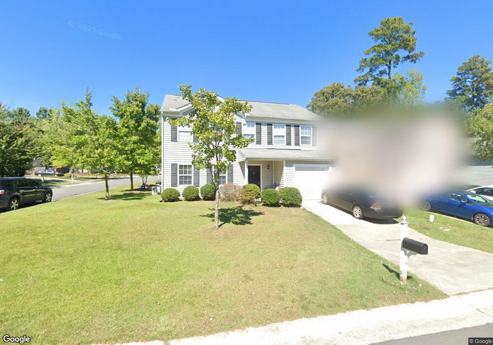
3103 Forrestal Dr Durham, NC 27703
Eastern Durham NeighborhoodEstimated Value: $332,000 - $344,515
About This Home
This home is located at 3103 Forrestal Dr, Durham, NC 27703 and is currently estimated at $337,379, approximately $181 per square foot. 3103 Forrestal Dr is a home located in Durham County with nearby schools including Bethesda Elementary School, John W Neal Middle School, and Southern School of Energy & Sustainability.
Ownership History
We collect this data history from publicly available records. To have your information removed, we recommend requesting removal directly through your county’s website.
Purchase Details
Purchase Details
Home Financials for this Owner
Home Financials are based on the most recent Mortgage that was taken out on this home.Home Values in the Area
Average Home Value in this Area
Purchase History
We collect this data history from publicly available records. To have your information removed, we recommend requesting removal directly through your county’s website.
| Date | Buyer | Sale Price | Title Company |
|---|---|---|---|
| $151,000 | None Available | ||
| $158,500 | -- |
Mortgage History
We collect this data history from publicly available records. To have your information removed, we recommend requesting removal directly through your county’s website.
| Date | Status | Borrower | Loan Amount |
|---|---|---|---|
| Previous Owner | $31,631 | ||
| Previous Owner | $126,524 | ||
| Previous Owner | $24,640 |
Tax History
We collect this data history from publicly available records. To have your information removed, we recommend requesting removal directly through your county’s website.
| Year | Tax Paid | Tax Assessment Tax Assessment Total Assessment is a certain percentage of the fair market value that is determined by local assessors to be the total taxable value of land and additions on the property. | Land | Improvement |
|---|---|---|---|---|
| 2025 | $3,450 | $348,049 | $79,800 | $268,249 |
| 2024 | $2,430 | $185,546 | $42,600 | $142,946 |
| 2023 | $2,430 | $185,546 | $42,600 | $142,946 |
| 2022 | $2,375 | $185,546 | $42,600 | $142,946 |
| 2021 | $2,364 | $185,546 | $42,600 | $142,946 |
| 2020 | $2,308 | $185,546 | $42,600 | $142,946 |
| 2019 | $2,308 | $185,546 | $42,600 | $142,946 |
| 2018 | $2,114 | $155,878 | $25,560 | $130,318 |
| 2017 | $2,099 | $155,878 | $25,560 | $130,318 |
| 2016 | $2,028 | $155,878 | $25,560 | $130,318 |
| 2015 | $2,351 | $169,840 | $32,681 | $137,159 |
| 2014 | $2,351 | $169,840 | $32,681 | $137,159 |
Map
- 1001 Stennis Way
- 908 Reedy Way
- 2903 Forrestal Dr
- 3230 Ivey Wood Ln
- 3340 Ivey Wood Ln
- 3201 Ivey Wood Ln
- 806 Kendall Dr Unit 502
- 305 Kendall Dr Unit 203
- 1316 Kendall Dr
- 404 Lynn Rd
- 428 Walton St
- 426 Walton St
- 1014 Thoughtful Spot Ln
- 3622 Gibson Rd
- 2052 October Dr
- 518 Farm House Ln
- 506 Farm House Ln
- 1034 Spacious Skies Ln
- 9 Plummer Place
- 419 Ganyard Farm Way
- 907 Stennis Way
- 3105 Forrestal Dr
- 3107 Forrestal Dr
- 905 Stennis Way
- 3109 Forrestal Dr
- 903 Stennis Way
- 3111 Forrestal Dr
- 1002 Stennis Way
- 906 Stennis Way
- 1004 Stennis Way
- 901 Stennis Way
- 904 Stennis Way
- 1006 Stennis Way
- 3113 Forrestal Dr
- 3104 Forrestal Dr
- 3106 Forrestal Dr
- 3102 Forrestal Dr
- 902 Stennis Way
- 5 Kitty Hawk Ct
- 3014 Forrestal Dr
Ask me questions while you tour the home.