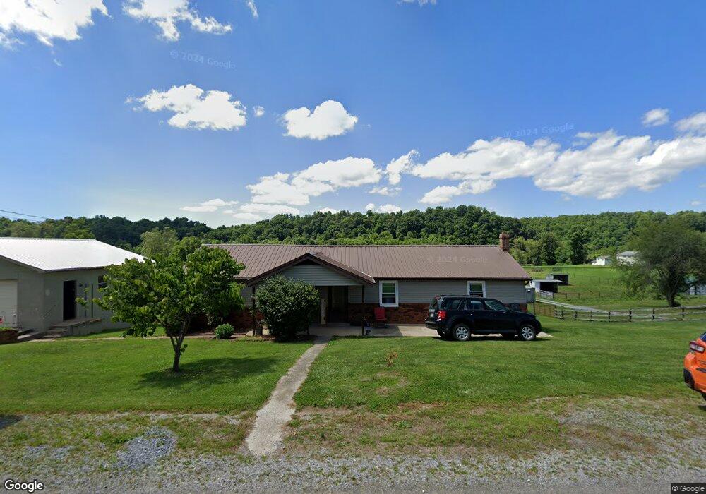
311 S Fork Rd Marion, VA 24354
Estimated Value: $134,000 - $166,000
3
Beds
1
Bath
1,232
Sq Ft
$126/Sq Ft
Est. Value
About This Home
This home is located at 311 S Fork Rd, Marion, VA 24354 and is currently estimated at $155,840, approximately $126 per square foot. 311 S Fork Rd is a home located in Smyth County with nearby schools including Oak Point Elementary School, Marion Middle School, and Marion Senior High School.
Ownership History
Date
Name
Owned For
Owner Type
Purchase Details
Closed on
Aug 27, 2018
Sold by
Alexander Carrol E and Alexander Joseph B
Bought by
Howell Charles D
Current Estimated Value
Home Financials for this Owner
Home Financials are based on the most recent Mortgage that was taken out on this home.
Original Mortgage
$50,000
Outstanding Balance
$43,513
Interest Rate
4.5%
Mortgage Type
Closed End Mortgage
Estimated Equity
$112,327
Create a Home Valuation Report for This Property
The Home Valuation Report is an in-depth analysis detailing your home's value as well as a comparison with similar homes in the area
Home Values in the Area
Average Home Value in this Area
Purchase History
| Date | Buyer | Sale Price | Title Company |
|---|---|---|---|
| Howell Charles D | $90,000 | Blue Rdg Title&Stlmnt Agency |
Source: Public Records
Mortgage History
| Date | Status | Borrower | Loan Amount |
|---|---|---|---|
| Open | Howell Charles D | $50,000 |
Source: Public Records
Tax History
| Year | Tax Paid | Tax Assessment Tax Assessment Total Assessment is a certain percentage of the fair market value that is determined by local assessors to be the total taxable value of land and additions on the property. | Land | Improvement |
|---|---|---|---|---|
| 2025 | $765 | $129,600 | $15,000 | $114,600 |
| 2024 | $765 | $129,600 | $15,000 | $114,600 |
| 2023 | $648 | $87,500 | $12,500 | $75,000 |
| 2022 | $648 | $87,500 | $12,500 | $75,000 |
| 2021 | $648 | $87,500 | $12,500 | $75,000 |
| 2020 | $648 | $87,500 | $12,500 | $75,000 |
| 2019 | $485 | $65,500 | $12,500 | $53,000 |
| 2018 | $485 | $65,500 | $12,500 | $53,000 |
| 2017 | $485 | $65,500 | $12,500 | $53,000 |
| 2016 | $485 | $65,500 | $12,500 | $53,000 |
| 2015 | $485 | $0 | $0 | $0 |
| 2014 | $493 | $0 | $0 | $0 |
Source: Public Records
Map
Nearby Homes
- 711 Thomas Bridge Rd
- 721 Thomas Bridge Rd
- 147 Colonial Heights Dr
- 556 Stoney Battery Rd
- 265 Flatwoods Rd
- 564 Stoney Battery Rd
- 450 Adwolfe Rd
- 122 Adwolfe Rd
- 625 Belle Hollow Rd
- TBD Granite Ln
- 526 Friendly Cir
- 554 Friendly Cir
- tbd Chestnut Ridge Rd
- 158 North Dr
- 470 Riverside Rd
- TBD Ridgefield Dr
- 1219 Chestnut Ridge Rd
- 260 Cornett Rd
- 787 Wet Springs Rd
- 447 Old Airport Rd
- 306 S Fork Rd
- 331 S Fork Rd
- 310 S Fork Rd
- 336 S Fork Rd
- 344 S Fork Rd
- 406 Mosswood Ln
- 434 Mosswood Ln
- 440 Mosswood Ln
- 444 Mosswood Ln
- 4061 Mosswood Ln
- 446 Mosswood Ln
- 448 Mosswood Ln
- 269 S Fork Rd
- 387 S Fork Rd
- 432 S Fork Rd
- 187 S Fork Rd
- 175 S Fork Rd
- 286 Tilleys Bridge Rd
- 276 Tilleys Bridge Rd
- 284 Tilleys Bridge Rd
Your Personal Tour Guide
Ask me questions while you tour the home.