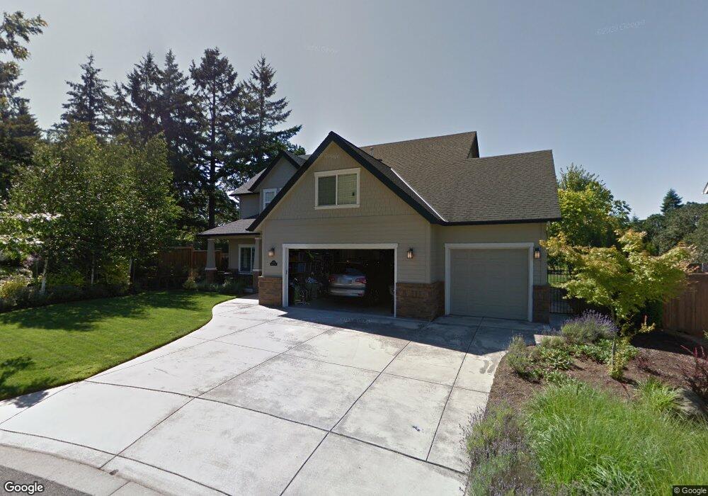
3110 McNaull Dr Eugene, OR 97405
Churchill NeighborhoodEstimated Value: $716,000 - $968,000
4
Beds
3
Baths
3,157
Sq Ft
$271/Sq Ft
Est. Value
About This Home
This home is located at 3110 McNaull Dr, Eugene, OR 97405 and is currently estimated at $854,336, approximately $270 per square foot. 3110 McNaull Dr is a home located in Lane County with nearby schools including Adams Elementary School, Arts And Technology Academy At Jefferson, and Churchill High School.
Ownership History
Date
Name
Owned For
Owner Type
Purchase Details
Closed on
Apr 7, 2014
Sold by
Mcdowell Patrick and Mcdowell Heidi
Bought by
Sullivan Jamie M and Sullivan Catherine L
Current Estimated Value
Purchase Details
Closed on
Apr 12, 2004
Sold by
Scott Carlson Construction Co
Bought by
Mcdowell Patrick and Mcdowell Heidi
Home Financials for this Owner
Home Financials are based on the most recent Mortgage that was taken out on this home.
Original Mortgage
$301,000
Interest Rate
5.56%
Mortgage Type
Construction
Create a Home Valuation Report for This Property
The Home Valuation Report is an in-depth analysis detailing your home's value as well as a comparison with similar homes in the area
Home Values in the Area
Average Home Value in this Area
Purchase History
| Date | Buyer | Sale Price | Title Company |
|---|---|---|---|
| Sullivan Jamie M | $465,500 | Western Title & Escrow Co | |
| Mcdowell Patrick | $76,250 | Western Title & Escrow Co |
Source: Public Records
Mortgage History
| Date | Status | Borrower | Loan Amount |
|---|---|---|---|
| Previous Owner | Mcdowell Patrick | $301,000 |
Source: Public Records
Tax History
| Year | Tax Paid | Tax Assessment Tax Assessment Total Assessment is a certain percentage of the fair market value that is determined by local assessors to be the total taxable value of land and additions on the property. | Land | Improvement |
|---|---|---|---|---|
| 2025 | $9,173 | $470,822 | -- | -- |
| 2024 | $9,059 | $457,109 | -- | -- |
| 2023 | $9,059 | $443,796 | $0 | $0 |
| 2022 | $8,487 | $430,870 | $0 | $0 |
| 2021 | $7,971 | $418,321 | $0 | $0 |
| 2020 | $7,999 | $406,137 | $0 | $0 |
| 2019 | $7,643 | $394,308 | $0 | $0 |
| 2018 | $7,137 | $371,674 | $0 | $0 |
| 2017 | $6,645 | $371,674 | $0 | $0 |
| 2016 | $6,455 | $360,849 | $0 | $0 |
| 2015 | $6,253 | $350,339 | $0 | $0 |
| 2014 | $6,089 | $340,135 | $0 | $0 |
Source: Public Records
Map
Nearby Homes
- 3147 Tanner Park Dr
- 3490 Southview Dr
- 2870 Hawkins Ln
- 2030 W 34th Ave
- 0 Brighton Ave Unit 446 19051229
- 3825 Brighton Ave
- 3023 Ashley Loop
- 2736 Kismet Way
- 2455 W 29th Ave
- 0 Mountain Ash Blvd Unit 410068044
- 0 Aerie Park Place Unit 563784902
- 0 Aerie Park Place Unit 625628092
- 0 Aerie Park Place Unit 595870203
- 2728 Hallmark Ln
- 2572 W 28th Ave
- 0 Hallmark Ln
- 3093 Soloman Loop
- 0 Lorane Hwy Unit 1-3-5-A
- 3574 Colony Oaks Dr Unit 6
- 3586 Colony Oaks Dr Unit 5
- 3130 McNaull Dr
- 3102 McNaull Dr
- 3125 McNaull Dr
- 3150 McNaull Dr
- 3120 Earlasue St
- 3170 McNaull Dr
- 3165 McNaull Dr
- 3140 Earlasue St
- 3160 Earlasue St
- 3185 McNaull Dr
- 3190 McNaull Dr
- 3115 Earlasue St
- 3135 Earlasue St
- 3180 Earlasue St
- 3155 Earlasue St
- 3105 Earlasue St
- 3175 Earlasue St
- 3138 Blacktail Dr
- 3321 Michael Ln
- 3158 Blacktail Dr
Your Personal Tour Guide
Ask me questions while you tour the home.