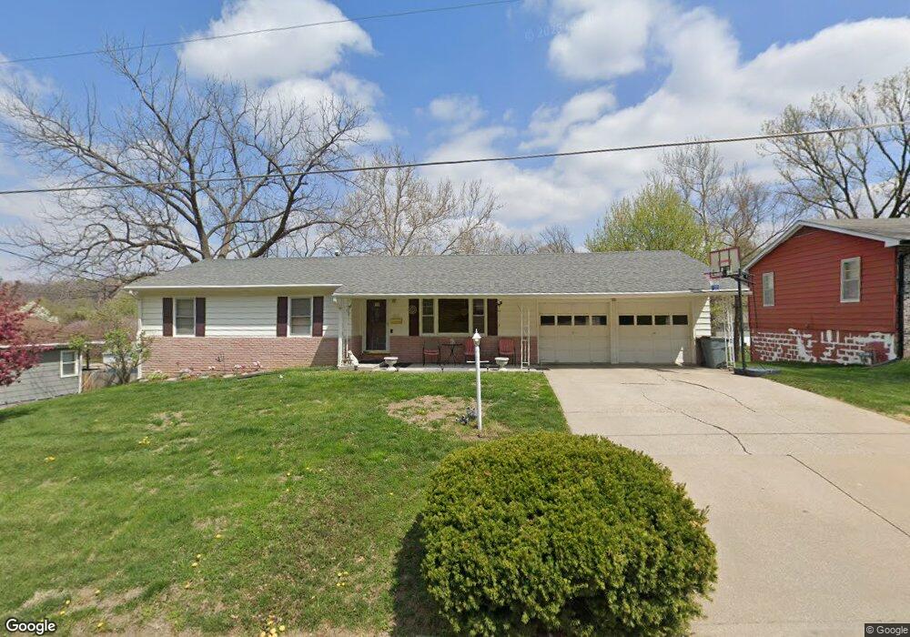
3111 Hampton Rd Saint Joseph, MO 64505
Lovers Lane NeighborhoodEstimated Value: $142,000 - $202,000
Studio
--
Bath
1,168
Sq Ft
$143/Sq Ft
Est. Value
About This Home
This home is located at 3111 Hampton Rd, Saint Joseph, MO 64505 and is currently estimated at $166,889, approximately $142 per square foot. 3111 Hampton Rd is a home located in Buchanan County with nearby schools including Field Elementary School, Robidoux Middle School, and Lafayette High School.
Ownership History
Date
Name
Owned For
Owner Type
Purchase Details
Closed on
Mar 27, 2024
Sold by
Teed Patricia
Bought by
Owens Daniel
Current Estimated Value
Purchase Details
Closed on
Oct 29, 2019
Sold by
Hornaday Mary Jo
Bought by
Shanholtzer Marcia L
Purchase Details
Closed on
Jul 17, 2006
Sold by
Owens Richard J and Owens Gilda G
Bought by
Teed Patricia A and Owens Daniel L
Home Financials for this Owner
Home Financials are based on the most recent Mortgage that was taken out on this home.
Original Mortgage
$110,000
Interest Rate
7.9%
Mortgage Type
Adjustable Rate Mortgage/ARM
Create a Home Valuation Report for This Property
The Home Valuation Report is an in-depth analysis detailing your home's value as well as a comparison with similar homes in the area
Home Values in the Area
Average Home Value in this Area
Purchase History
| Date | Buyer | Sale Price | Title Company |
|---|---|---|---|
| Owens Daniel | -- | None Listed On Document | |
| Shanholtzer Marcia L | -- | First American Title | |
| Teed Patricia A | -- | Advantage Title Llc |
Source: Public Records
Mortgage History
| Date | Status | Borrower | Loan Amount |
|---|---|---|---|
| Previous Owner | Teed Patricia A | $110,000 |
Source: Public Records
Tax History
| Year | Tax Paid | Tax Assessment Tax Assessment Total Assessment is a certain percentage of the fair market value that is determined by local assessors to be the total taxable value of land and additions on the property. | Land | Improvement |
|---|---|---|---|---|
| 2025 | $1,073 | $14,940 | $2,950 | $11,990 |
| 2024 | $1,013 | $14,100 | $2,950 | $11,150 |
| 2023 | $1,013 | $14,100 | $2,950 | $11,150 |
| 2022 | $935 | $14,100 | $2,950 | $11,150 |
| 2021 | $939 | $14,100 | $2,950 | $11,150 |
| 2020 | $934 | $14,100 | $2,950 | $11,150 |
| 2019 | $902 | $14,100 | $2,950 | $11,150 |
| 2018 | $815 | $14,100 | $2,950 | $11,150 |
| 2017 | $807 | $14,100 | $0 | $0 |
| 2015 | $787 | $14,100 | $0 | $0 |
| 2014 | $787 | $14,100 | $0 | $0 |
Source: Public Records
Map
Nearby Homes
- 3112 Hampton Rd
- 3017 Hampton Rd
- 2511 Kent St
- 1717 6th Ave
- 1805 6th Ave
- 1511 6th Ave
- 3133 Saint Joseph Ave
- 3131 Saint Joseph Ave
- 3101 Saint Joseph Ave
- 2011 Lovers Ln
- 1108 Roosevelt Ave
- 3118 N 11th St
- 3502 Saint Joseph Ave
- 2238 N 22nd St
- 1012 Logan St
- 1020 7th Ave
- 1024 Roosevelt Ave
- 2306 W Circle Dr
- 3004 & 3006 N 10th St
- 2328 Goff Ave
- 3115 Hampton Rd
- 3109 Hampton Rd
- 3008 Newport Rd
- 3010 Newport Rd
- 3205 Hampton Rd
- 3006 Newport Rd
- 3108 Hampton Rd
- 3107 Hampton Rd
- 3012 Newport Rd
- 3004 Newport Rd
- 3200 Hampton Rd
- 3105 Hampton Rd
- 3002 Newport Rd
- 3106 Hampton Rd
- 3209 Hampton Rd
- 3201 Normandy St
- 3202 Hampton Rd
- 3104 Hampton Rd
- 2918 Newport Rd
Your Personal Tour Guide
Ask me questions while you tour the home.