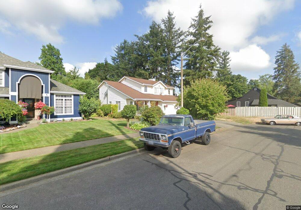
3112 Cole St Enumclaw, WA 98022
Estimated Value: $590,000 - $651,000
4
Beds
3
Baths
1,800
Sq Ft
$342/Sq Ft
Est. Value
About This Home
This home is located at 3112 Cole St, Enumclaw, WA 98022 and is currently estimated at $615,999, approximately $342 per square foot. 3112 Cole St is a home located in King County with nearby schools including Byron Kibler Elementary School, Enumclaw Middle School, and Enumclaw Senior High School.
Ownership History
Date
Name
Owned For
Owner Type
Purchase Details
Closed on
Aug 23, 1994
Sold by
Schwandt David J and Schwandt Debbie
Bought by
Kuhns R Shawn and Kuhns Lori B
Current Estimated Value
Home Financials for this Owner
Home Financials are based on the most recent Mortgage that was taken out on this home.
Original Mortgage
$139,150
Interest Rate
8.65%
Purchase Details
Closed on
May 5, 1992
Sold by
Capstone Homes Inc
Bought by
Schwandt David J and Schwandt Debbie
Create a Home Valuation Report for This Property
The Home Valuation Report is an in-depth analysis detailing your home's value as well as a comparison with similar homes in the area
Home Values in the Area
Average Home Value in this Area
Purchase History
| Date | Buyer | Sale Price | Title Company |
|---|---|---|---|
| Kuhns R Shawn | $146,500 | Chicago Title Insurance Co | |
| Schwandt David J | $127,300 | -- |
Source: Public Records
Mortgage History
| Date | Status | Borrower | Loan Amount |
|---|---|---|---|
| Closed | Kuhns R Shawn | $139,150 |
Source: Public Records
Tax History
| Year | Tax Paid | Tax Assessment Tax Assessment Total Assessment is a certain percentage of the fair market value that is determined by local assessors to be the total taxable value of land and additions on the property. | Land | Improvement |
|---|---|---|---|---|
| 2024 | $5,069 | $528,000 | $200,000 | $328,000 |
| 2023 | $4,730 | $453,000 | $172,000 | $281,000 |
| 2022 | $4,234 | $517,000 | $197,000 | $320,000 |
| 2021 | $3,973 | $419,000 | $170,000 | $249,000 |
| 2020 | $3,413 | $358,000 | $115,000 | $243,000 |
| 2018 | $3,466 | $310,000 | $105,000 | $205,000 |
| 2017 | $3,072 | $281,000 | $96,000 | $185,000 |
| 2016 | $3,024 | $257,000 | $89,000 | $168,000 |
| 2015 | $3,120 | $249,000 | $85,000 | $164,000 |
| 2014 | -- | $246,000 | $86,000 | $160,000 |
| 2013 | -- | $189,000 | $69,000 | $120,000 |
Source: Public Records
Map
Nearby Homes
- 1355 Mchugh Ave
- 27008 SE & 27012 432nd St
- 111 Chinook Ave
- 0 xx 266th Ave SE
- 2921 Frederickson St
- 1730 Hillcrest Ave
- 42801 264th Ave SE
- 1966 Wilson Ave
- 1975 Wilson Ave
- 1705 Marshall Ave
- 1107 Griffin Ave
- 1722 Harding St
- 431 Rainier Ave
- 42102 264th Ave SE
- 1318 Lafromboise St
- 1234 Lincoln Ave Unit A
- 1234 Lincoln Ave Unit B
- 1867 Clovercrest St
- 2707 Initial Place
- 806 Pine Dr
- 3106 Cole St
- 1214 Mchugh Ave
- 1205 Chinook Ave
- 1211 Chinook Ave
- 482 Michael Ave
- 485 Michael Ave
- 1250 Merritt Ave
- 3047 Cole St
- 475 Michael Ave
- 455 Chinook Ave
- 1302 Merritt Ave
- 445 Michael Ave
- 1204 Chinook Ave
- 1212 Chinook Ave
- 412 Michael Ave
- 1230 Chinook Ave
- 415 Chinook Ave
- 2627 Bailey St
- 1247 Merritt Ave
- 413 Michael Ave
Your Personal Tour Guide
Ask me questions while you tour the home.