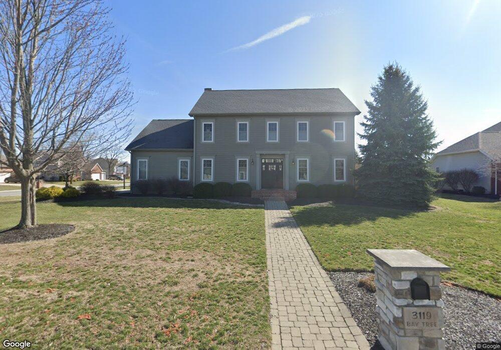
3119 Bay Tree Dr Findlay, OH 45840
Estimated Value: $563,000 - $595,855
About This Home
This home is located at 3119 Bay Tree Dr, Findlay, OH 45840 and is currently estimated at $583,618, approximately $187 per square foot. 3119 Bay Tree Dr is a home located in Hancock County with nearby schools including Liberty-Benton Elementary School, Liberty-Benton Middle School, and Liberty-Benton High School.
Ownership History
We collect this data history from publicly available records. To have your information removed, we recommend requesting removal directly through your county’s website.
Purchase Details
Home Financials for this Owner
Home Financials are based on the most recent Mortgage that was taken out on this home.Purchase History
We collect this data history from publicly available records. To have your information removed, we recommend requesting removal directly through your county’s website.
| Date | Buyer | Sale Price | Title Company |
|---|---|---|---|
| $500,000 | Legacy Title |
Mortgage History
We collect this data history from publicly available records. To have your information removed, we recommend requesting removal directly through your county’s website.
| Date | Status | Borrower | Loan Amount |
|---|---|---|---|
| Open | $400,000 |
Tax History
We collect this data history from publicly available records. To have your information removed, we recommend requesting removal directly through your county’s website.
| Year | Tax Paid | Tax Assessment Tax Assessment Total Assessment is a certain percentage of the fair market value that is determined by local assessors to be the total taxable value of land and additions on the property. | Land | Improvement |
|---|---|---|---|---|
| 2025 | $4,825 | $136,000 | $20,200 | $115,800 |
| 2024 | $4,596 | $123,630 | $18,360 | $105,270 |
| 2023 | $4,487 | $123,630 | $18,360 | $105,270 |
| 2022 | $4,443 | $123,630 | $18,360 | $105,270 |
| 2021 | $4,126 | $101,330 | $17,120 | $84,210 |
| 2020 | $4,161 | $101,330 | $17,120 | $84,210 |
| 2019 | $3,992 | $101,330 | $17,120 | $84,210 |
| 2018 | $3,144 | $88,100 | $14,880 | $73,220 |
| 2017 | $3,244 | $88,100 | $14,880 | $73,220 |
| 2016 | $3,145 | $88,100 | $14,880 | $73,220 |
| 2015 | $3,075 | $83,990 | $15,270 | $68,720 |
| 2014 | $2,931 | $79,310 | $15,270 | $64,040 |
| 2012 | $2,697 | $69,880 | $15,270 | $54,610 |
Map
- 3200 Jurnee Dr
- 3457 Chagrin Valley
- 9560 Smokies Way
- 9894 Smokies Way
- 1443 Silver Pine Ln
- 1408 Brook Lawn
- 0 County Road 95 Unit 6097574
- 3325 Pepper Pike
- 0 Rock Candy Rd Or Bushwillow Dr Unit Lot 173
- 0 Bushwillow Dr Or Rock Candy Rd Unit Lot 157
- 0 Rock Candy Rd Unit Lot 170
- 0 Rock Candy Rd Unit Lot 172 206819
- 0 Rock Candy Rd Unit Lot 162
- 0 Rock Candy Rd Unit Lot 171
- 0 Rock Candy Rd Unit Lot 168
- 0 Bearcat Way Or Rock Candy Rd Unit Lot 167
- 0 Country Road 99 Unit 310360
- 10321 Wheatfield Dr
- 0 County Road 140
- 0 Allen Township 142
- 10284 Wheatfield Dr
- 10257 Wheatfield Dr
- 1816 Forest Park
- 1808 Forest Park
- 1824 Forest Park
- 3304 Glengerry Dr
- 1800 Forest Park
- 3311 Jurnee Dr
- 1830 Forest Park
- 3308 Glengerry Dr
- 1809 Forest Park
- 1817 Forest Park
- 1801 Forest Park
- 1904 Forest Park
- 3301 Glengerry Dr
- 3113 Bay Tree Dr
- 1733 Forest Park
- 3320 Jurnee Dr
- 3312 Glengerry Dr
- 3305 Glengerry Dr
Ask me questions while you tour the home.