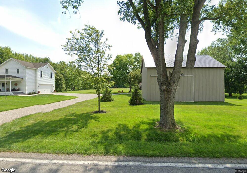
3119 Walker Rd Hilliard, OH 43026
Brown NeighborhoodEstimated Value: $579,000 - $698,000
4
Beds
2
Baths
2,758
Sq Ft
$233/Sq Ft
Est. Value
About This Home
This home is located at 3119 Walker Rd, Hilliard, OH 43026 and is currently estimated at $642,408, approximately $232 per square foot. 3119 Walker Rd is a home located in Franklin County with nearby schools including Brown Elementary School, Hilliard Station Sixth Grade Elementary School, and Hilliard Memorial Middle School.
Ownership History
Date
Name
Owned For
Owner Type
Purchase Details
Closed on
Jun 29, 2000
Sold by
Loska Howard J and Loska Lori A
Bought by
Ayers Leslie P
Current Estimated Value
Home Financials for this Owner
Home Financials are based on the most recent Mortgage that was taken out on this home.
Original Mortgage
$67,900
Outstanding Balance
$23,624
Interest Rate
8.66%
Estimated Equity
$618,784
Purchase Details
Closed on
Jun 6, 1995
Sold by
Mckenzie Joe
Bought by
Loska Howard J and Loska Lori A
Home Financials for this Owner
Home Financials are based on the most recent Mortgage that was taken out on this home.
Original Mortgage
$63,300
Interest Rate
8.26%
Mortgage Type
New Conventional
Create a Home Valuation Report for This Property
The Home Valuation Report is an in-depth analysis detailing your home's value as well as a comparison with similar homes in the area
Home Values in the Area
Average Home Value in this Area
Purchase History
| Date | Buyer | Sale Price | Title Company |
|---|---|---|---|
| Ayers Leslie P | $85,000 | Chicago Title | |
| Loska Howard J | $20,000 | -- |
Source: Public Records
Mortgage History
| Date | Status | Borrower | Loan Amount |
|---|---|---|---|
| Open | Ayers Leslie P | $67,900 | |
| Previous Owner | Loska Howard J | $63,300 |
Source: Public Records
Tax History
| Year | Tax Paid | Tax Assessment Tax Assessment Total Assessment is a certain percentage of the fair market value that is determined by local assessors to be the total taxable value of land and additions on the property. | Land | Improvement |
|---|---|---|---|---|
| 2025 | $10,790 | $176,120 | $63,350 | $112,770 |
| 2024 | $10,790 | $176,120 | $63,350 | $112,770 |
| 2023 | $9,486 | $176,120 | $63,350 | $112,770 |
| 2022 | $9,764 | $144,070 | $63,740 | $80,330 |
| 2021 | $9,769 | $144,070 | $63,740 | $80,330 |
| 2020 | $9,777 | $144,070 | $63,740 | $80,330 |
| 2019 | $9,939 | $125,270 | $55,440 | $69,830 |
| 2018 | $8,575 | $125,270 | $55,440 | $69,830 |
| 2017 | $8,777 | $125,270 | $55,440 | $69,830 |
| 2016 | $7,642 | $89,360 | $24,050 | $65,310 |
| 2015 | $7,235 | $89,360 | $24,050 | $65,310 |
| 2014 | $7,256 | $89,360 | $24,050 | $65,310 |
| 2013 | $3,134 | $80,500 | $22,890 | $57,610 |
Source: Public Records
Map
Nearby Homes
- 6801 Brookview Place
- 6793 Brookview Place
- 6825 Northfield Place
- 6784 Brookview Place
- 6754 Forest Ln
- 6737 Brookview Place
- 6881 Northfield Place
- 6753 Forest Ln
- 6875 Woodedge Ln
- 6769 Forest Ln
- 6721 Brookview Place
- 6745 Forest Ln
- 6897 Northfield Place
- 6737 Forest Ln
- 6704 Brookview Place
- 6729 Forest Ln
- 3780 Aviary Loop
- 6541 Marshview Dr
- 3260 Alton Darby Creek Rd
- 6201 Lampton Pond Dr
- 3131 Walker Rd
- Lot 3 Walker Rd Unit Tract 3
- Lot 3 Walker Rd
- 0 Walker Rd Unit 2643527
- 0 Walker Rd Unit 2034358
- 0 Walker Rd Unit 9922625
- 0 Walker Rd Unit 9726744
- 0 Walker Rd Unit 224038884
- 12.296 Acr Walker Rd
- 2.7 Acres Walker Rd
- 5.1 Acres Walker Rd
- 0 Walker Rd Unit 2821802
- 0 Walker Rd Unit 212004361
- 0 Walker Rd Unit 221020979
- 0 Walker Rd Unit 2 213035868
- 0 Walker Rd Unit 214022342
- 0 Walker Rd Unit 221006369
- 0 Walker Rd Unit 220004362
- 0 Walker Rd Unit 220004356
- 0 Walker Rd Unit 220004242
Your Personal Tour Guide
Ask me questions while you tour the home.