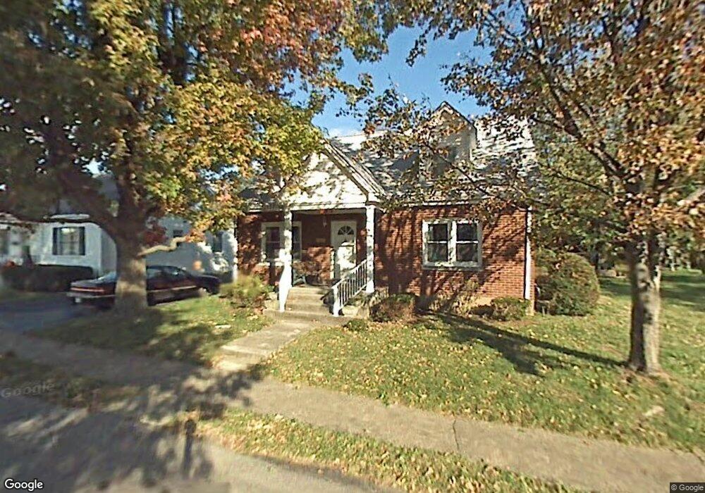
312 Caudill Ave Georgetown, KY 40324
Downtown Georgetown NeighborhoodEstimated Value: $234,000 - $274,583
4
Beds
2
Baths
1,656
Sq Ft
$151/Sq Ft
Est. Value
About This Home
This home is located at 312 Caudill Ave, Georgetown, KY 40324 and is currently estimated at $250,146, approximately $151 per square foot. 312 Caudill Ave is a home located in Scott County with nearby schools including Garth Elementary School, Georgetown Middle School, and Scott County High School.
Ownership History
Date
Name
Owned For
Owner Type
Purchase Details
Closed on
May 24, 2010
Sold by
Hollon Frances H and Hollon Ralph Michael
Bought by
Sands Wise Jonathan D and Sands Wise Elizabeth D
Current Estimated Value
Home Financials for this Owner
Home Financials are based on the most recent Mortgage that was taken out on this home.
Original Mortgage
$94,400
Outstanding Balance
$62,851
Interest Rate
5.15%
Mortgage Type
New Conventional
Estimated Equity
$187,295
Create a Home Valuation Report for This Property
The Home Valuation Report is an in-depth analysis detailing your home's value as well as a comparison with similar homes in the area
Home Values in the Area
Average Home Value in this Area
Purchase History
| Date | Buyer | Sale Price | Title Company |
|---|---|---|---|
| Sands Wise Jonathan D | $118,000 | None Available |
Source: Public Records
Mortgage History
| Date | Status | Borrower | Loan Amount |
|---|---|---|---|
| Open | Sands Wise Jonathan D | $94,400 |
Source: Public Records
Tax History
| Year | Tax Paid | Tax Assessment Tax Assessment Total Assessment is a certain percentage of the fair market value that is determined by local assessors to be the total taxable value of land and additions on the property. | Land | Improvement |
|---|---|---|---|---|
| 2025 | $1,527 | $171,400 | $0 | $0 |
| 2024 | $1,482 | $164,800 | $0 | $0 |
| 2023 | $1,442 | $159,000 | $27,500 | $131,500 |
| 2022 | $1,261 | $148,300 | $25,000 | $123,300 |
| 2021 | $1,308 | $138,800 | $25,000 | $113,800 |
| 2020 | $1,120 | $130,400 | $20,000 | $110,400 |
| 2019 | $1,041 | $130,400 | $0 | $0 |
| 2018 | $963 | $111,000 | $0 | $0 |
| 2017 | $954 | $109,352 | $0 | $0 |
| 2016 | $881 | $109,352 | $0 | $0 |
| 2015 | $824 | $103,000 | $0 | $0 |
| 2014 | $854 | $103,000 | $0 | $0 |
| 2011 | $64 | $103,000 | $0 | $0 |
Source: Public Records
Map
Nearby Homes
- 208 Montgomery Ave
- 102 Hansons Path
- 111 E College St
- 110 Hannsons Path
- 402 Hiawatha Trail
- 1010 Walker Way
- 121 E Washington St
- 1335 S Us 25 Lexington Rd
- 159 Irving Ln
- 107 Bourbon Ct
- 104 Bronte Place
- 113 Walden Cove Unit 3I
- 203 W Lynn St
- 402 Walnut St
- 125 Emerson Trail
- 134 Hemingway Place
- 725 E College St
- 108 Cave Run Ct
- 115 Oak Hill Ln
- 124 Copper Kettle Path
- 310 Caudill Ave
- 309 Highland Ave
- 308 Caudill Ave
- 211 N Lewis Ct
- 307 Highland Ave
- 307 Caudill Ave
- 309 Caudill Ave
- 306 Caudill Ave
- 212 N Lewis Ct
- 210 N Lewis Ct
- 305 Highland Ave
- 305 Caudill Ave
- 208 N Lewis Ct
- 311 Caudill Ave
- 219 N Lewis Ct
- 304 Caudill Ave
- 203 N Lewis Ct
- 303 Caudill Ave
- 312 Highland Ave
- 303 Highland Ave
Your Personal Tour Guide
Ask me questions while you tour the home.