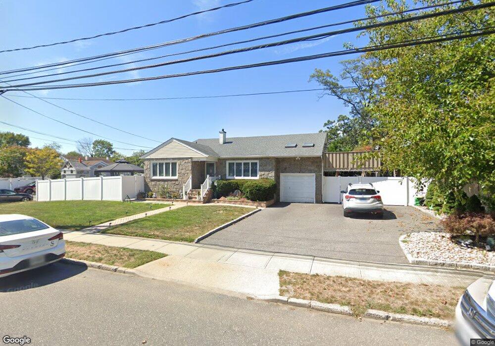
312 Daniel St Lindenhurst, NY 11757
Estimated Value: $607,116 - $813,000
About This Home
This home is located at 312 Daniel St, Lindenhurst, NY 11757 and is currently estimated at $719,029, approximately $408 per square foot. 312 Daniel St is a home located in Suffolk County with nearby schools including Daniel Street School, Lindenhurst Middle School, and Lindenhurst Senior High School.
Ownership History
We collect this data history from publicly available records. To have your information removed, we recommend requesting removal directly through your county’s website.
Purchase Details
Purchase Details
Home Financials for this Owner
Home Financials are based on the most recent Mortgage that was taken out on this home.Home Values in the Area
Average Home Value in this Area
Purchase History
We collect this data history from publicly available records. To have your information removed, we recommend requesting removal directly through your county’s website.
| Date | Buyer | Sale Price | Title Company |
|---|---|---|---|
| -- | None Available | ||
| $380,000 | None Available |
Mortgage History
We collect this data history from publicly available records. To have your information removed, we recommend requesting removal directly through your county’s website.
| Date | Status | Borrower | Loan Amount |
|---|---|---|---|
| Previous Owner | $366,208 |
Tax History
We collect this data history from publicly available records. To have your information removed, we recommend requesting removal directly through your county’s website.
| Year | Tax Paid | Tax Assessment Tax Assessment Total Assessment is a certain percentage of the fair market value that is determined by local assessors to be the total taxable value of land and additions on the property. | Land | Improvement |
|---|---|---|---|---|
| 2024 | $14,309 | $3,700 | $340 | $3,360 |
| 2023 | $12,575 | $3,700 | $340 | $3,360 |
| 2022 | $11,247 | $3,700 | $340 | $3,360 |
| 2021 | $11,247 | $3,700 | $340 | $3,360 |
| 2020 | $11,643 | $3,700 | $340 | $3,360 |
| 2019 | $13,187 | $0 | $0 | $0 |
| 2018 | $11,280 | $3,700 | $340 | $3,360 |
| 2017 | $11,280 | $3,700 | $340 | $3,360 |
| 2016 | $11,307 | $3,700 | $340 | $3,360 |
| 2015 | -- | $3,700 | $340 | $3,360 |
| 2014 | -- | $3,700 | $340 | $3,360 |
Map
- 452 N Monroe Ave
- 417 N Monroe Ave
- 285 Daniel St
- 475 N Putnam Ave
- 381 N Monroe Ave
- 477 N Indiana Ave
- 449 N Indiana Ave
- 541 N Indiana Ave
- 395 N Putnam Ave
- 332 N Monroe Ave
- 551 Grand Ave
- 317 Centre Ave
- 581 Grand Ave
- 852 Densfield Rd
- 820 N Indiana Ave
- 851 Elmwood Rd
- 827 Bermuda Rd
- 675 N Erie Ave
- 247 N Greene Ave
- 644 N Clinton Ave
- 497 N Monroe Ave
- 493 N Monroe Ave
- 489 N Monroe Ave
- 503 N Monroe Ave
- 496 N Monroe Ave
- 481 N Monroe Ave
- 488 N Monroe Ave
- 509 N Monroe Ave
- 473 N Monroe Ave
- 510 N Lewis Ave
- 476 N Monroe Ave
- 517 N Monroe Ave
- 341 Daniel St
- 491 N Niagara Ave
- 302 Daniel St
- 525 N Monroe Ave
- 464 N Monroe Ave
- 481 N Niagara Ave
- 520 N Lewis Ave
- 509 N Lewis Ave
Ask me questions while you tour the home.