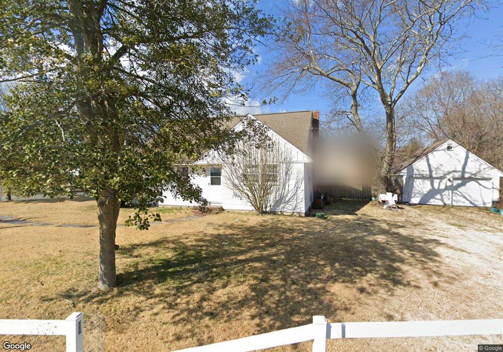
312 E Lacey Rd Forked River, NJ 08731
Estimated Value: $386,174 - $502,000
4
Beds
1
Bath
1,540
Sq Ft
$287/Sq Ft
Est. Value
About This Home
This home is located at 312 E Lacey Rd, Forked River, NJ 08731 and is currently estimated at $442,544, approximately $287 per square foot. 312 E Lacey Rd is a home located in Ocean County with nearby schools including Lacey Township High School.
Ownership History
Date
Name
Owned For
Owner Type
Purchase Details
Closed on
Apr 17, 2025
Sold by
Captains Inn Land Corp
Bought by
Kay Debra Abrahamovic
Current Estimated Value
Home Financials for this Owner
Home Financials are based on the most recent Mortgage that was taken out on this home.
Original Mortgage
$275,000
Outstanding Balance
$273,779
Interest Rate
6.65%
Mortgage Type
New Conventional
Estimated Equity
$168,765
Create a Home Valuation Report for This Property
The Home Valuation Report is an in-depth analysis detailing your home's value as well as a comparison with similar homes in the area
Home Values in the Area
Average Home Value in this Area
Purchase History
| Date | Buyer | Sale Price | Title Company |
|---|---|---|---|
| Kay Debra Abrahamovic | -- | None Listed On Document | |
| Kay Debra Abrahamovic | -- | None Listed On Document |
Source: Public Records
Mortgage History
| Date | Status | Borrower | Loan Amount |
|---|---|---|---|
| Open | Kay Debra Abrahamovic | $275,000 | |
| Closed | Kay Debra Abrahamovic | $275,000 |
Source: Public Records
Tax History
| Year | Tax Paid | Tax Assessment Tax Assessment Total Assessment is a certain percentage of the fair market value that is determined by local assessors to be the total taxable value of land and additions on the property. | Land | Improvement |
|---|---|---|---|---|
| 2025 | $5,867 | $214,500 | $129,000 | $85,500 |
| 2024 | $5,082 | $214,500 | $129,000 | $85,500 |
| 2023 | $4,854 | $214,500 | $129,000 | $85,500 |
| 2022 | $4,854 | $214,500 | $129,000 | $85,500 |
| 2021 | $4,773 | $214,500 | $129,000 | $85,500 |
| 2020 | $4,620 | $214,500 | $129,000 | $85,500 |
| 2019 | $4,539 | $214,500 | $129,000 | $85,500 |
| 2018 | $4,485 | $214,500 | $129,000 | $85,500 |
| 2017 | $4,382 | $214,500 | $129,000 | $85,500 |
| 2016 | $4,365 | $214,500 | $129,000 | $85,500 |
| 2015 | $4,170 | $214,500 | $129,000 | $85,500 |
| 2014 | $3,383 | $196,700 | $129,000 | $67,700 |
Source: Public Records
Map
Nearby Homes
- 360 Captains Walk Unit 60
- 343 Harbor View Unit 43
- 706 Fairview Ln
- 1 Thropp Rd
- 126 Bay Ave
- 631 Twin River Dr
- 72 Saltspray Dr
- 115 E Lacey Rd
- 417 Riverview Rd
- 116 Bay Ave
- 69 Saltspray Dr
- 75 Saltspray Dr
- 79 Saltspray Dr
- 615 Beach Blvd
- 0 Nautical Dr
- 10 Dolphin Ct
- 1003 Kohala Dr
- 1205 Niihau Dr
- 1007 Inland Rd
- 1201 Niihau Dr
- 317 E Lacey Rd Unit H
- 317 E Lacey Rd Unit G
- 317 E Lacey Rd Unit F
- 317 E Lacey Rd Unit E
- 317 E Lacey Rd Unit D
- 315C E Lacey Rd
- 315 E Lacey Rd Unit B
- 315 E Lacey Rd Unit A
- 105 Port St
- 105 Starboard St
- 104 Port St
- 107 Starboard St
- 108 Port St
- 109 Port St
- 111 Starboard St
- 108 Starboard St
- 9 Davenport Landing
- 7 Davenport Landing
- 302 E Lacey Rd
- 338 Paradise Point Blvd
Your Personal Tour Guide
Ask me questions while you tour the home.