312 High Pointe Dr Lagrange, GA 30240
Estimated Value: $693,000 - $948,000
About This Home
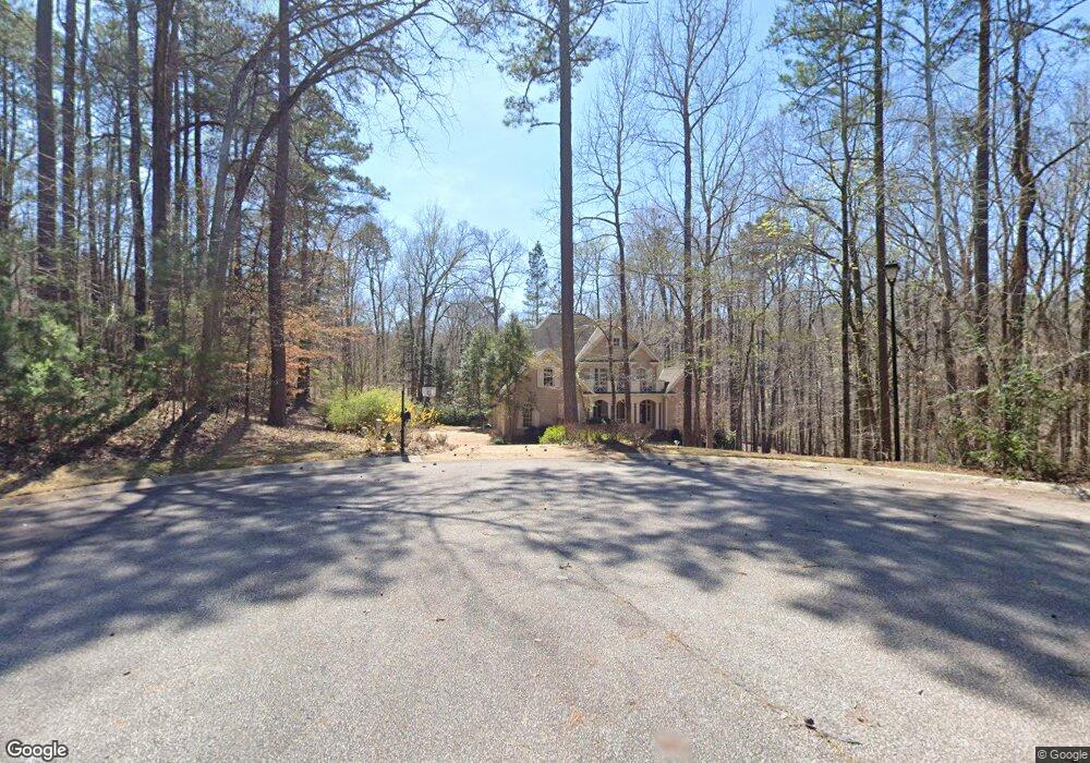
This home is located at 312 High Pointe Dr, Lagrange, GA 30240 and is currently estimated at $774,514, approximately $153 per square foot. 312 High Pointe Dr is a home located in Troup County with nearby schools including Franklin Forest Elementary School, Hollis Hand Elementary School, and Ethel W. Kight Elementary School.
Ownership History
We collect this data history from publicly available records. To have your information removed, we recommend requesting removal directly through your county’s website.
Purchase Details
Purchase Details
Purchase Details
Purchase Details
Purchase History
We collect this data history from publicly available records. To have your information removed, we recommend requesting removal directly through your county’s website.
| Date | Buyer | Sale Price | Title Company |
|---|---|---|---|
| $527,500 | -- | ||
| -- | -- | ||
| $469,500 | -- | ||
| -- | -- |
Tax History
We collect this data history from publicly available records. To have your information removed, we recommend requesting removal directly through your county’s website.
| Year | Tax Paid | Tax Assessment Tax Assessment Total Assessment is a certain percentage of the fair market value that is determined by local assessors to be the total taxable value of land and additions on the property. | Land | Improvement |
|---|---|---|---|---|
| 2025 | $8,073 | $296,000 | $20,000 | $276,000 |
| 2024 | $7,343 | $269,240 | $18,000 | $251,240 |
| 2023 | $7,156 | $262,400 | $18,000 | $244,400 |
| 2022 | $6,905 | $247,400 | $18,000 | $229,400 |
| 2021 | $6,338 | $210,160 | $14,000 | $196,160 |
| 2020 | $6,338 | $210,160 | $14,000 | $196,160 |
| 2019 | $6,313 | $209,320 | $20,000 | $189,320 |
| 2018 | $5,261 | $176,440 | $20,000 | $156,440 |
| 2017 | $5,261 | $176,440 | $20,000 | $156,440 |
| 2016 | $5,303 | $177,818 | $20,000 | $157,818 |
| 2015 | $4,509 | $177,933 | $20,000 | $157,933 |
| 2014 | $5,324 | $177,933 | $20,000 | $157,933 |
| 2013 | -- | $177,933 | $20,000 | $157,933 |
Map
- 205 River Oaks Dr
- 114 Red Oak Trail
- 209 River Oaks Dr
- 103 Windridge
- 216 Ashford Cir
- 104 Hidden Branches Ln
- 107 Windridge
- 109 Windridge
- 129 Lismore Dr
- 91 Richmond Dr
- 117 Woodchase
- 406 Ashford Cir
- 103 Woodchase
- 501 Ashford Cir
- 101 Ridgeview Dr
- 127 Ashling Dr
- 130 Sunny Point Cir
- 108 Saint Anthony Dr
- 110 Pond View Point
- 1351 New Franklin Rd
- 312 High Pointe Dr Unit 84
- 123 Red Oak Trail
- 124 Red Oak Trail
- 124 Red Oak Trail Unit 7
- 309 High Pointe Dr
- 121 Red Oak Trail
- 122 Red Oak Trail
- 96 Windridge
- 143 Oakmont Dr
- 0 High Point Dr Unit 96 7052398
- 0 High Point Dr Unit 92 7052394
- 0 High Point Dr Unit 91 7052389
- 0 High Point Dr Unit 90 7052386
- 0 High Point Dr Unit 89 7052382
- 0 High Point Dr Unit 92 7607766
- 0 High Point Dr Unit 91 7607765
- 0 High Point Dr Unit 90 7607759
- 0 High Point Dr Unit 89 7607749
- 305 High Pointe Dr
- 120 Red Oak Trail
Ask me questions while you tour the home.