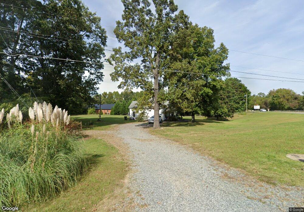
312 Jarrett Rd Thomasville, NC 27360
Estimated Value: $155,090 - $197,000
2
Beds
1
Bath
1,290
Sq Ft
$138/Sq Ft
Est. Value
About This Home
This home is located at 312 Jarrett Rd, Thomasville, NC 27360 and is currently estimated at $177,523, approximately $137 per square foot. 312 Jarrett Rd is a home located in Davidson County with nearby schools including Fair Grove Elementary School, E. Lawson Brown Middle School, and East Davidson High School.
Ownership History
Date
Name
Owned For
Owner Type
Purchase Details
Closed on
Apr 28, 2014
Sold by
Jones Jimmy S
Bought by
Jones Janie M
Current Estimated Value
Purchase Details
Closed on
Dec 22, 2011
Sold by
Ragsdale Roy Lee and The Estate Of Donald Gray Jarr
Bought by
Jones Jimmy S
Purchase Details
Closed on
Jan 30, 2002
Sold by
Jarrett Evelyn Elizabeth
Bought by
Jarrett Donald Gray
Purchase Details
Closed on
Sep 1, 1996
Create a Home Valuation Report for This Property
The Home Valuation Report is an in-depth analysis detailing your home's value as well as a comparison with similar homes in the area
Home Values in the Area
Average Home Value in this Area
Purchase History
| Date | Buyer | Sale Price | Title Company |
|---|---|---|---|
| Jones Janie M | -- | None Available | |
| Jones Jimmy S | $23,000 | None Available | |
| Jarrett Donald Gray | -- | -- | |
| -- | -- | -- |
Source: Public Records
Tax History
| Year | Tax Paid | Tax Assessment Tax Assessment Total Assessment is a certain percentage of the fair market value that is determined by local assessors to be the total taxable value of land and additions on the property. | Land | Improvement |
|---|---|---|---|---|
| 2025 | $868 | $75,930 | $0 | $0 |
| 2024 | $711 | $62,190 | $0 | $0 |
| 2023 | $721 | $62,190 | $0 | $0 |
| 2022 | $711 | $62,190 | $0 | $0 |
| 2021 | $711 | $62,190 | $0 | $0 |
| 2020 | $630 | $56,100 | $0 | $0 |
| 2019 | $640 | $56,100 | $0 | $0 |
| 2018 | $640 | $56,100 | $0 | $0 |
| 2017 | $640 | $56,100 | $0 | $0 |
| 2016 | $617 | $56,100 | $0 | $0 |
| 2015 | $617 | $56,100 | $0 | $0 |
| 2014 | $645 | $58,600 | $0 | $0 |
Source: Public Records
Map
Nearby Homes
- 323 Jarrett Rd
- 42 Harris Farm Ct
- 73 Harris Farm Ct
- 128 Kendall Mill Rd
- 117 Forest Dr
- 104 Willowbrook Dr
- 101 Fletcher's Farm Dr
- 0 Smith Dr
- 1579 Lake Rd
- 117 Hillcrest Rd
- 119 Hillcrest Rd
- 126 Camino Dr
- 821 Fisher Ferry St
- 2501 Denton Rd
- 707 Trotter St
- 596 Colleen Dr
- 143 Lambeth Rd
- 700 English St
- 217 Moon St
- 400 Jack Pine St
- 316 Jarrett Rd
- 1360 Fisher Ferry St
- 1356 Fisher Ferry Rd
- 322 Jarrett Rd
- 328 Jarrett Rd
- 313 Jarrett Rd
- 330 Jarrett Rd
- 126 S Old Fisher Ferry Rd
- 319 Jarrett Rd
- 158 S Old Fisher Ferry Rd
- 321 Jarrett Rd
- 325 Jarrett Rd
- 334 Jarrett Rd
- 327 Jarrett Rd
- 329 Jarrett Rd
- 111 John Mills Ln
- 113 John Mills Ln
- 109 John Mills Ln
- 331 Jarrett Rd
- 107 John Mills Ln
Your Personal Tour Guide
Ask me questions while you tour the home.