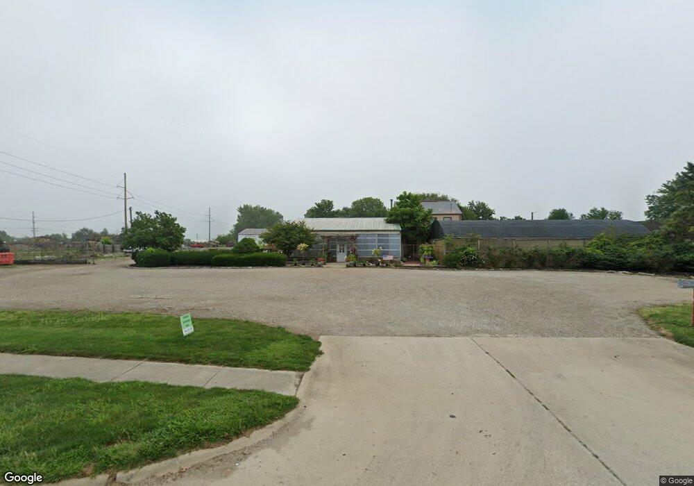
312 N Logan St Mattoon, IL 61938
Studio
--
Bath
2,800
Sq Ft
130,680
Sq Ft Lot
About This Home
This home is located at 312 N Logan St, Mattoon, IL 61938. 312 N Logan St is a home located in Coles County with nearby schools including Mattoon High School, St. John's Lutheran School, and St Mary School.
Ownership History
Date
Name
Owned For
Owner Type
Purchase Details
Closed on
Sep 29, 2023
Sold by
Ragland Ryan M
Bought by
Floyd Riley
Home Financials for this Owner
Home Financials are based on the most recent Mortgage that was taken out on this home.
Original Mortgage
$150,000
Outstanding Balance
$144,047
Interest Rate
8.5%
Mortgage Type
New Conventional
Purchase Details
Closed on
Dec 19, 2018
Sold by
Mitchell Julie K
Bought by
Ragland Ryan M
Purchase Details
Closed on
Jan 29, 2010
Sold by
Hesse Martha K and Last Will And Estate Of Jerrol
Bought by
Ragland Ryan M
Create a Home Valuation Report for This Property
The Home Valuation Report is an in-depth analysis detailing your home's value as well as a comparison with similar homes in the area
Home Values in the Area
Average Home Value in this Area
Purchase History
| Date | Buyer | Sale Price | Title Company |
|---|---|---|---|
| Floyd Riley | $150,000 | None Listed On Document | |
| Ragland Ryan M | -- | None Available | |
| Ragland Ryan M | $165,000 | None Available | |
| Ragland Ryan M | -- | None Available |
Source: Public Records
Mortgage History
| Date | Status | Borrower | Loan Amount |
|---|---|---|---|
| Open | Floyd Riley | $150,000 |
Source: Public Records
Tax History
| Year | Tax Paid | Tax Assessment Tax Assessment Total Assessment is a certain percentage of the fair market value that is determined by local assessors to be the total taxable value of land and additions on the property. | Land | Improvement |
|---|---|---|---|---|
| 2024 | $3,678 | $42,533 | $10,122 | $32,411 |
| 2023 | $5,790 | $64,751 | $9,119 | $55,632 |
| 2022 | $5,641 | $63,681 | $8,968 | $54,713 |
| 2021 | $5,531 | $57,370 | $8,079 | $49,291 |
| 2020 | $5,461 | $59,441 | $8,371 | $51,070 |
| 2019 | $5,382 | $57,370 | $8,079 | $49,291 |
| 2018 | $5,294 | $57,370 | $8,079 | $49,291 |
| 2017 | $5,094 | $55,290 | $25,450 | $29,840 |
| 2016 | $4,979 | $55,290 | $25,450 | $29,840 |
| 2015 | $4,923 | $55,290 | $25,450 | $29,840 |
| 2014 | $4,923 | $55,290 | $25,450 | $29,840 |
| 2013 | $4,923 | $55,290 | $25,450 | $29,840 |
Source: Public Records
Map
Nearby Homes
- 421 Dewitt Ave
- 609 Wabash Ave
- 812 N 8th St Unit 64
- 812 N 8th St Unit 36
- 22 Elm Ridge
- 601 Marshall Ave
- 1112 Moultrie Ave
- 1101 Wabash Ave
- 1012 S 6th St
- 1 Brown Ct
- 1301 Lafayette Ave
- 1312 Edgar Ave
- 1412 S 2nd St
- LOT 37 Broadmoor Edgewater
- 1612 Richmond Ave
- 20 Cambridge
- 1509 Lafayette Ave
- 21 Cambridge
- 28 Tinsbury
- 7 Mitchell Ave
- 321 N Logan St
- 317 N Logan St
- 310 N Division St
- 41 Moultrie Ave
- 319 N Logan St
- 512 N 1st Division St
- 45 Moultrie Ave
- 47 Moultrie Ave
- 59 Moultrie Ave
- 46 Moultrie Ave
- 60 Shelby Ave
- 232 Richmond Ave E
- 312 N Division St
- 44 Moultrie Ave
- 28 Richmond Ave
- 217 N Logan St
- 225 Richmond Ave E
- 64 Shelby Ave
- 63 Moultrie Ave
- 50 Moultrie Ave
Your Personal Tour Guide
Ask me questions while you tour the home.