312 Rips Rd Calhoun, GA 30701
Estimated Value: $197,000 - $226,000
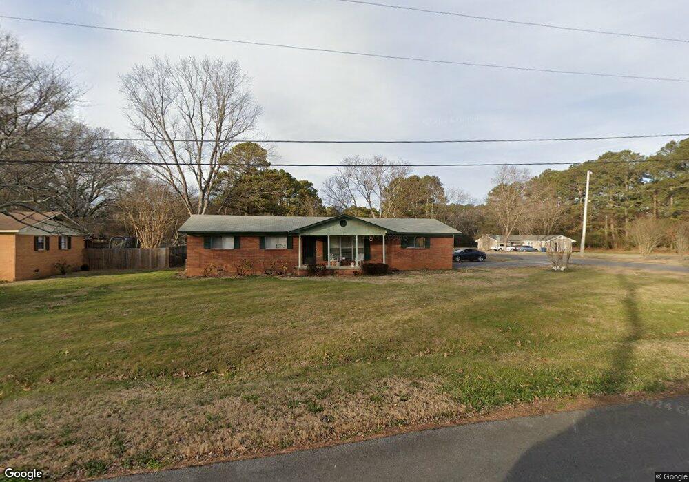
About This Home
This home is located at 312 Rips Rd, Calhoun, GA 30701 and is currently estimated at $215,041, approximately $176 per square foot. 312 Rips Rd is a home located in Gordon County with nearby schools including Belwood Elementary School and Philadelphia Christian School.
Ownership History
We collect this data history from publicly available records. To have your information removed, we recommend requesting removal directly through your county’s website.
Purchase Details
Home Financials for this Owner
Home Financials are based on the most recent Mortgage that was taken out on this home.Purchase Details
Purchase History
We collect this data history from publicly available records. To have your information removed, we recommend requesting removal directly through your county’s website.
| Date | Buyer | Sale Price | Title Company |
|---|---|---|---|
| -- | -- | ||
| $102,000 | -- |
Mortgage History
We collect this data history from publicly available records. To have your information removed, we recommend requesting removal directly through your county’s website.
| Date | Status | Borrower | Loan Amount |
|---|---|---|---|
| Open | $82,755 |
Tax History
We collect this data history from publicly available records. To have your information removed, we recommend requesting removal directly through your county’s website.
| Year | Tax Paid | Tax Assessment Tax Assessment Total Assessment is a certain percentage of the fair market value that is determined by local assessors to be the total taxable value of land and additions on the property. | Land | Improvement |
|---|---|---|---|---|
| 2025 | $1,379 | $60,080 | $8,800 | $51,280 |
| 2023 | $1,252 | $51,280 | $8,800 | $42,480 |
| 2022 | $1,260 | $48,640 | $8,800 | $39,840 |
| 2021 | $996 | $37,560 | $8,000 | $29,560 |
| 2020 | $931 | $34,480 | $5,840 | $28,640 |
| 2019 | $936 | $34,480 | $5,840 | $28,640 |
| 2018 | $694 | $26,080 | $4,600 | $21,480 |
| 2017 | $624 | $23,040 | $4,160 | $18,880 |
| 2016 | $625 | $23,040 | $4,160 | $18,880 |
| 2015 | $661 | $24,040 | $4,920 | $19,120 |
| 2014 | $707 | $26,283 | $4,928 | $21,355 |
Map
- 199 Cherry St SE
- 113 Burton Dr
- 108 Rips Rd
- 915 Curtis Parkway Tract 2
- 921 Curtis Parkway Tract 3
- 927 Curtis Parkway Tract 4
- 111 Lewis Dr SE
- 402 Linda Ln
- 391 Wildwood Cir SE
- 143 Honeysuckle Dr SE
- 318 Circle Dr
- 00 Hwy 53 and Kenmoreland Cir
- 00 Cir
- 118 Lavender Cir
- 117 Lavender Cir
- 1136 S Wall St
- 104 Sunflower Ln
- 106 Sunflower Ln
- 107 Lavender Cir
- 1659 Resaca Lafayette Rd
- 310 Rips Rd
- 308 Rips Rd
- 400 Woodland Terrace
- 105 Pinetree Dr
- 405 Woodland Terrace
- 311 Rips Rd
- 103 Pinetree Dr
- 307 Rips Rd
- 105 Elrod Dr
- 404 Woodland Terrace
- 106 Elrod Dr
- 300 Woodland Terrace
- 102 Aubrey Ave NE
- 117 Azalea Dr
- 100 Deer Park Ln
- 303 Rips Rd
- 104 Deer Park Ln
- 104 Pinetree Dr
- 101 Elrod Dr
- 113 Azalea Dr
Ask me questions while you tour the home.