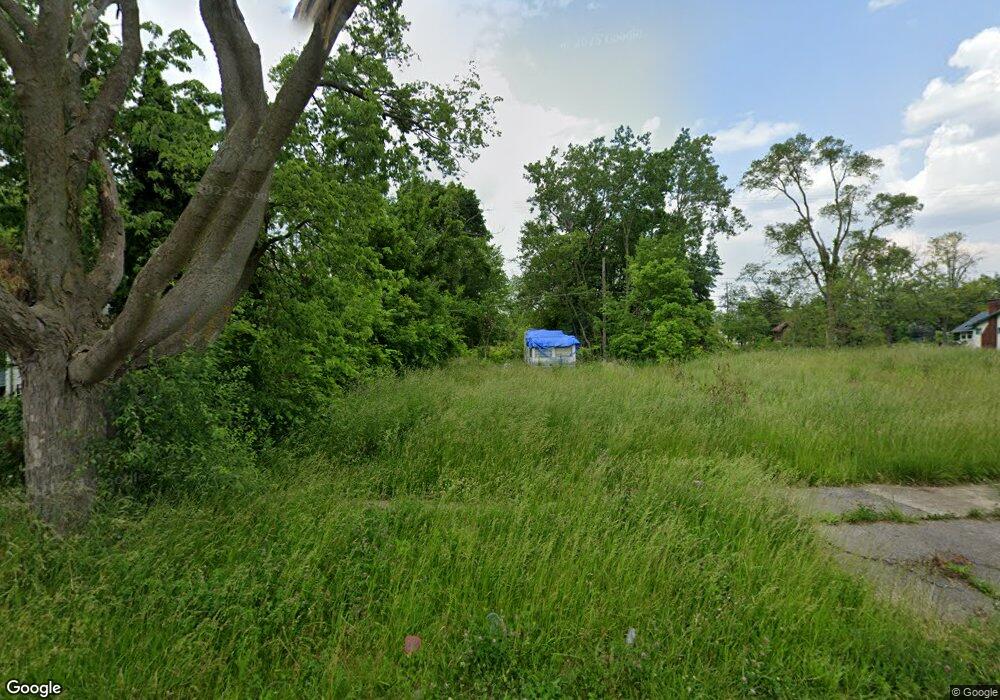
312 W Baker St Flint, MI 48505
King Avenue Plus NeighborhoodEstimated Value: $16,825 - $44,000
About This Home
This home is located at 312 W Baker St, Flint, MI 48505 and is currently estimated at $31,942, approximately $23 per square foot. 312 W Baker St is a home located in Genesee County with nearby schools including Brownell STEM Academy, Flint Cultural Center Academy High School, and Greater Heights Academy.
Ownership History
We collect this data history from publicly available records. To have your information removed, we recommend requesting removal directly through your county’s website.
Purchase Details
Purchase Details
Purchase Details
Home Values in the Area
Average Home Value in this Area
Purchase History
We collect this data history from publicly available records. To have your information removed, we recommend requesting removal directly through your county’s website.
| Date | Buyer | Sale Price | Title Company |
|---|---|---|---|
| -- | None Available | ||
| -- | None Available | ||
| $13,000 | First American Title Ins Co |
Mortgage History
We collect this data history from publicly available records. To have your information removed, we recommend requesting removal directly through your county’s website.
| Date | Status | Borrower | Loan Amount |
|---|---|---|---|
| Open | $21,108 |
Tax History
We collect this data history from publicly available records. To have your information removed, we recommend requesting removal directly through your county’s website.
| Year | Tax Paid | Tax Assessment Tax Assessment Total Assessment is a certain percentage of the fair market value that is determined by local assessors to be the total taxable value of land and additions on the property. | Land | Improvement |
|---|---|---|---|---|
| 2025 | -- | $0 | $0 | $0 |
| 2024 | -- | $0 | $0 | $0 |
| 2023 | -- | $0 | $0 | $0 |
| 2022 | $0 | $0 | $0 | $0 |
| 2021 | $0 | $0 | $0 | $0 |
| 2020 | $0 | $0 | $0 | $0 |
| 2019 | $0 | $0 | $0 | $0 |
| 2018 | $0 | $0 | $0 | $0 |
| 2017 | $0 | $0 | $0 | $0 |
| 2016 | $0 | $0 | $0 | $0 |
| 2015 | -- | $0 | $0 | $0 |
| 2014 | -- | $0 | $0 | $0 |
| 2012 | -- | $9,500 | $0 | $0 |
Map
- 134 W Baker St
- 124 W Rankin St
- 2309 Mason St
- 2209 Mason St
- 114 W Hamilton Ave
- 205 E Jackson Ave
- 218 E Jackson Ave
- 200 W Mcclellan St
- 2718 N Chevrolet Ave
- 1006 W Dayton St
- 929 W Genesee St
- 1102 W Dayton St
- 420 E Dayton St
- 3422 Race St
- 3207 Milbourne Ave
- 1644 Mason St
- 800 Martin Luther King Ave
- 2134 Martin Luther King Ave
- 2414 Delmar St
- 1909 Proctor Ave
- 2557 Mason St
- 2553 Mason St
- 316 W Baker St
- 232 W Baker St
- 231 W Rankin St
- 320 W Baker St
- 2515 Mason St
- 228 W Baker St
- 319 W Rankin St
- 225 W Rankin St
- 324 W Baker St
- 317 W Baker St
- 2511 Mason St
- 323 W Rankin St
- 321 W Baker St
- 312 W Rankin St
- 221 W Rankin St
- 229 W Baker St
- 220 W Baker St
- 2507 Mason St
Ask me questions while you tour the home.