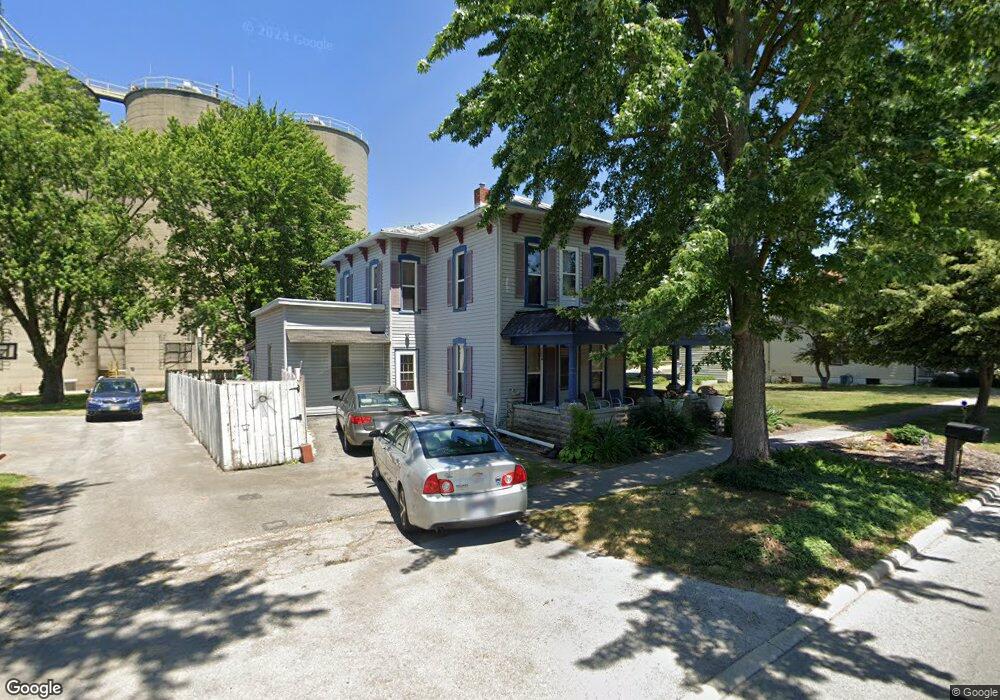
312 W Main St Mc Comb, OH 45858
McComb NeighborhoodEstimated Value: $151,000 - $211,000
4
Beds
1
Bath
2,012
Sq Ft
$84/Sq Ft
Est. Value
About This Home
This home is located at 312 W Main St, Mc Comb, OH 45858 and is currently estimated at $169,477, approximately $84 per square foot. 312 W Main St is a home located in Hancock County with nearby schools including McComb Elementary School, McComb Middle School, and Mccomb Local High School.
Ownership History
Date
Name
Owned For
Owner Type
Purchase Details
Closed on
Jun 30, 1999
Sold by
Collingwood Keith
Bought by
Fitzgerald James and Fitzgerald Barbara
Current Estimated Value
Home Financials for this Owner
Home Financials are based on the most recent Mortgage that was taken out on this home.
Original Mortgage
$31,200
Outstanding Balance
$7,900
Interest Rate
7.29%
Mortgage Type
New Conventional
Estimated Equity
$161,577
Purchase Details
Closed on
Aug 12, 1985
Bought by
Collingwood Keith S
Purchase Details
Closed on
Jan 22, 1982
Bought by
Yockey Richard and Yockey Kimberly
Create a Home Valuation Report for This Property
The Home Valuation Report is an in-depth analysis detailing your home's value as well as a comparison with similar homes in the area
Home Values in the Area
Average Home Value in this Area
Purchase History
| Date | Buyer | Sale Price | Title Company |
|---|---|---|---|
| Fitzgerald James | $30,000 | -- | |
| Collingwood Keith S | $30,000 | -- | |
| Yockey Richard | $25,000 | -- |
Source: Public Records
Mortgage History
| Date | Status | Borrower | Loan Amount |
|---|---|---|---|
| Open | Fitzgerald James | $31,200 |
Source: Public Records
Tax History
| Year | Tax Paid | Tax Assessment Tax Assessment Total Assessment is a certain percentage of the fair market value that is determined by local assessors to be the total taxable value of land and additions on the property. | Land | Improvement |
|---|---|---|---|---|
| 2024 | $1,340 | $39,440 | $3,730 | $35,710 |
| 2023 | $1,331 | $39,440 | $3,730 | $35,710 |
| 2022 | $1,585 | $39,440 | $3,730 | $35,710 |
| 2021 | $1,346 | $30,200 | $5,200 | $25,000 |
| 2020 | $1,176 | $30,200 | $5,200 | $25,000 |
| 2019 | $1,288 | $30,200 | $5,200 | $25,000 |
| 2018 | $1,151 | $28,250 | $3,250 | $25,000 |
| 2017 | $1,158 | $28,250 | $3,250 | $25,000 |
| 2016 | $1,040 | $28,250 | $3,250 | $25,000 |
| 2015 | $764 | $19,690 | $3,250 | $16,440 |
| 2014 | $775 | $19,710 | $3,250 | $16,460 |
| 2012 | $947 | $22,890 | $3,250 | $19,640 |
Source: Public Records
Map
Nearby Homes
- 223 Cherry St
- 128 S Liberty St
- 131 E South St
- 203 E Perrin Ave
- 257 S Main St
- 4609 Township Road 235
- 3470 Ohio 235
- 4134 County Road 203
- 3111 Township Road 93
- 7514 Township Road 95
- 4014 County Road 139
- 9894 Smokies Way
- 0 Rock Candy Rd Unit Lot 159
- 0 Rock Candy Rd Unit Lot 170
- 0 Rock Candy Rd Unit Lot 172 206819
- 0 Rock Candy Rd Unit Lot 162
- 0 Rock Candy Rd Unit Lot 171
- 0 Rock Candy Rd Unit Lot 168
- 0 Rock Candy Rd Or Bushwillow Dr Unit Lot 173
- 0 Bearcat Way Or Rock Candy Rd Unit Lot 167
Your Personal Tour Guide
Ask me questions while you tour the home.