3125 Wright St Marquette, MI 49855
Estimated Value: $689,321
2
Beds
1
Bath
900
Sq Ft
$766/Sq Ft
Est. Value
About This Home
This home is located at 3125 Wright St, Marquette, MI 49855 and is currently estimated at $689,321, approximately $765 per square foot. 3125 Wright St is a home located in Marquette County with nearby schools including Sandy Knoll School, Bothwell Middle School, and Marquette Senior High School.
Ownership History
Date
Name
Owned For
Owner Type
Purchase Details
Closed on
May 15, 2023
Sold by
Mark G Curran Revocable Trust
Bought by
Kz Marquette Properties Llc
Current Estimated Value
Home Financials for this Owner
Home Financials are based on the most recent Mortgage that was taken out on this home.
Original Mortgage
$606,225
Outstanding Balance
$589,028
Interest Rate
6.28%
Mortgage Type
New Conventional
Estimated Equity
$100,293
Purchase Details
Closed on
Feb 1, 1998
Create a Home Valuation Report for This Property
The Home Valuation Report is an in-depth analysis detailing your home's value as well as a comparison with similar homes in the area
Home Values in the Area
Average Home Value in this Area
Purchase History
| Date | Buyer | Sale Price | Title Company |
|---|---|---|---|
| Kz Marquette Properties Llc | $599,000 | None Listed On Document | |
| -- | -- | -- |
Source: Public Records
Mortgage History
| Date | Status | Borrower | Loan Amount |
|---|---|---|---|
| Open | Kz Marquette Properties Llc | $606,225 |
Source: Public Records
Tax History
| Year | Tax Paid | Tax Assessment Tax Assessment Total Assessment is a certain percentage of the fair market value that is determined by local assessors to be the total taxable value of land and additions on the property. | Land | Improvement |
|---|---|---|---|---|
| 2025 | $4,494 | $336,500 | $0 | $0 |
| 2024 | $44 | $289,300 | $0 | $0 |
| 2023 | $1,811 | $279,500 | $0 | $0 |
| 2022 | $8,156 | $227,600 | $0 | $0 |
| 2021 | $7,898 | $225,700 | $0 | $0 |
| 2020 | $7,803 | $227,600 | $0 | $0 |
| 2019 | $7,596 | $248,700 | $0 | $0 |
| 2018 | $7,376 | $219,600 | $0 | $0 |
| 2017 | $7,109 | $220,400 | $0 | $0 |
| 2016 | $10,083 | $249,400 | $0 | $0 |
| 2015 | -- | $249,400 | $0 | $0 |
| 2014 | -- | $241,500 | $0 | $0 |
| 2012 | -- | $234,200 | $0 | $0 |
Source: Public Records
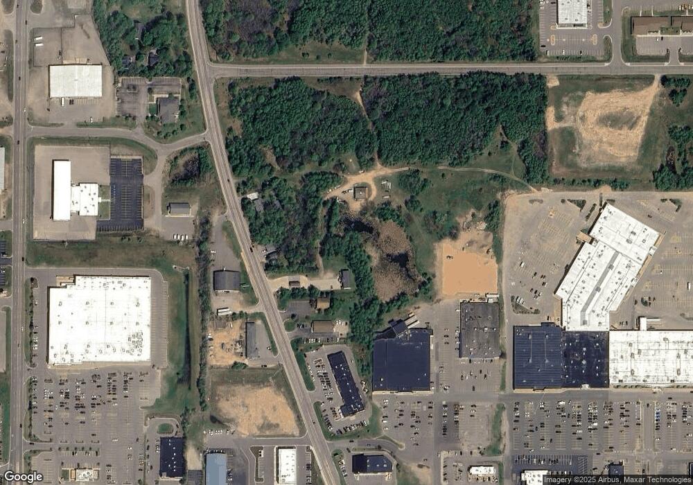
Map
Nearby Homes
- 825 Brookton Rd
- 420 Brickyard Rd
- 275 Northwoods Rd
- 280 Northwoods Rd
- 2025 W U S 41 Hwy
- 1942 Orchard St
- 713 Horizons Dr
- 633 Windcrest Dr
- 1917 Langford Dr
- 1914 Langford Dr
- 1250 Cleveland Ave
- 1507 W Fair Ave
- 1015 Osprey Ct Unit 9
- 19 Elder Dr
- 301 Garfield Ave
- 1440 Lynn Ave
- 713 Grove St
- Parcel B Michigan 28
- TBD Us Highway 41
- 4205 Us Highway 41
- 3115 Wright St
- 1012 Cornerstone Dr Unit C
- 1012 Cornerstone Dr Unit B
- 1012 Cornerstone Dr Unit A
- 1012 Cornerstone Dr Unit 15
- 170 Lost Forty Rd
- 130 Lost Forty Rd
- 150 Lost Forty Rd
- 3165 Wright St
- 3105 Wright St
- 3166 Us Highway 41 W
- 3166 Us Highway 41 W
- 3020 Us Highway 41 W
- 3020 Us Highway 41 W
- 3020 Us Highway 41 W Unit 3
- 3052 Wright St
- 3220 U S 41
- 0 Tbd Venture Unit 50072714
- 3119 Us Highway 41 W
- 3215 U S 41
Your Personal Tour Guide
Ask me questions while you tour the home.