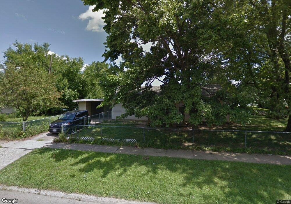
3126 Astor Ave Columbus, OH 43227
Eastmoor NeighborhoodEstimated Value: $105,000 - $187,000
3
Beds
1
Bath
1,056
Sq Ft
$134/Sq Ft
Est. Value
About This Home
This home is located at 3126 Astor Ave, Columbus, OH 43227 and is currently estimated at $141,716, approximately $134 per square foot. 3126 Astor Ave is a home located in Franklin County with nearby schools including Scottwood Elementary School, Johnson Park Middle School, and Walnut Ridge High School.
Ownership History
Date
Name
Owned For
Owner Type
Purchase Details
Closed on
Mar 10, 2000
Sold by
Koman Charles W and Koman Ruth E
Bought by
Longstreth Craig A
Current Estimated Value
Home Financials for this Owner
Home Financials are based on the most recent Mortgage that was taken out on this home.
Original Mortgage
$28,400
Outstanding Balance
$9,035
Interest Rate
8.3%
Estimated Equity
$132,681
Purchase Details
Closed on
Aug 6, 1990
Bought by
Koman Charles W and Koman Ruth E
Purchase Details
Closed on
Oct 29, 1987
Purchase Details
Closed on
Mar 1, 1987
Create a Home Valuation Report for This Property
The Home Valuation Report is an in-depth analysis detailing your home's value as well as a comparison with similar homes in the area
Home Values in the Area
Average Home Value in this Area
Purchase History
| Date | Buyer | Sale Price | Title Company |
|---|---|---|---|
| Longstreth Craig A | $43,000 | -- | |
| Koman Charles W | $43,000 | -- | |
| -- | $32,000 | -- | |
| -- | $33,000 | -- |
Source: Public Records
Mortgage History
| Date | Status | Borrower | Loan Amount |
|---|---|---|---|
| Open | Longstreth Craig A | $28,400 |
Source: Public Records
Tax History
| Year | Tax Paid | Tax Assessment Tax Assessment Total Assessment is a certain percentage of the fair market value that is determined by local assessors to be the total taxable value of land and additions on the property. | Land | Improvement |
|---|---|---|---|---|
| 2025 | $1,704 | $37,180 | $13,340 | $23,840 |
| 2024 | $1,704 | $37,180 | $13,340 | $23,840 |
| 2023 | $1,683 | $37,170 | $13,335 | $23,835 |
| 2022 | $1,152 | $21,670 | $6,690 | $14,980 |
| 2021 | $1,154 | $21,670 | $6,690 | $14,980 |
| 2020 | $1,364 | $21,670 | $6,690 | $14,980 |
| 2019 | $1,095 | $17,610 | $5,570 | $12,040 |
| 2018 | $1,029 | $17,610 | $5,570 | $12,040 |
| 2017 | $1,078 | $17,610 | $5,570 | $12,040 |
| 2016 | $1,061 | $15,610 | $4,480 | $11,130 |
| 2015 | $966 | $15,610 | $4,480 | $11,130 |
| 2014 | $968 | $15,610 | $4,480 | $11,130 |
| 2013 | $530 | $17,325 | $4,970 | $12,355 |
Source: Public Records
Map
Nearby Homes
- 1048 S James Rd
- 1037-1039 S James Rd
- 1074 S James Rd
- 3040 Templeton Rd
- 824 S Ashburton Rd
- 845 S Hampton Rd
- 891 S Weyant Ave Unit 895
- 864 S Waverly St
- 2917 Ashby Rd
- 2947 E Mound St
- 967 Ruby Ave
- 2856 Eastminster Rd
- 3270 E Livingston Ave
- 871 Ruby Ave
- 3092-3094 Cressing Ct
- 849 Ruby Ave
- 656 S Kellner Rd
- 2820 Eastminster Rd
- 0 Ruby Ave
- 691 S Hampton Rd
- 3132 Astor Ave
- 960 S Ashburton Rd
- 3138 Astor Ave
- 3106 Astor Ave
- 954 S Ashburton Rd
- 3144 Astor Ave
- 965 Elizabeth Ave
- 3100 Astor Ave
- 948 S Ashburton Rd
- 3150 Astor Ave
- 3123 Astor Ave
- 3129 Astor Ave
- 959 Elizabeth Ave
- 951 S Ashburton Rd
- 3135 Astor Ave
- 3103 Astor Ave
- 942 S Ashburton Rd
- 953 Elizabeth Ave
- 945 S Ashburton Rd
- 3097 Astor Ave
Your Personal Tour Guide
Ask me questions while you tour the home.