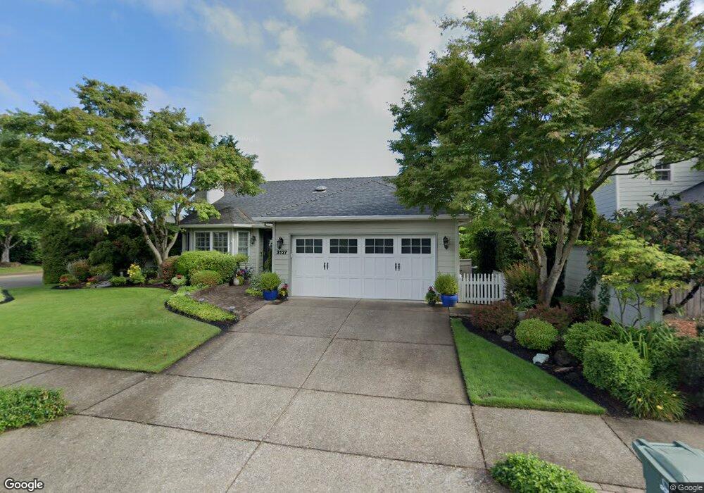
3127 Kings West St Eugene, OR 97401
Harlow NeighborhoodEstimated Value: $514,960 - $552,000
3
Beds
2
Baths
1,509
Sq Ft
$353/Sq Ft
Est. Value
About This Home
This home is located at 3127 Kings West St, Eugene, OR 97401 and is currently estimated at $532,990, approximately $353 per square foot. 3127 Kings West St is a home located in Lane County with nearby schools including Holt Elementary School, Monroe Middle School, and Sheldon High School.
Ownership History
Date
Name
Owned For
Owner Type
Purchase Details
Closed on
Mar 4, 2025
Sold by
Shawver Erna B
Bought by
Erna B L Shawver Trust and Shawver
Current Estimated Value
Purchase Details
Closed on
Mar 15, 2003
Sold by
Shawver Erna B and Shawver Erna L
Bought by
Shawver Erna B
Home Financials for this Owner
Home Financials are based on the most recent Mortgage that was taken out on this home.
Original Mortgage
$103,500
Interest Rate
5.82%
Create a Home Valuation Report for This Property
The Home Valuation Report is an in-depth analysis detailing your home's value as well as a comparison with similar homes in the area
Home Values in the Area
Average Home Value in this Area
Purchase History
We collect this data history from publicly available records. To have your information removed, we recommend requesting removal directly through your county’s website.
| Date | Buyer | Sale Price | Title Company |
|---|---|---|---|
| Erna B L Shawver Trust | -- | None Listed On Document | |
| Shawver Erna B | -- | Western Pioneer Title Co |
Source: Public Records
Mortgage History
We collect this data history from publicly available records. To have your information removed, we recommend requesting removal directly through your county’s website.
| Date | Status | Borrower | Loan Amount |
|---|---|---|---|
| Previous Owner | Shawver Erna B | $103,500 |
Source: Public Records
Tax History
| Year | Tax Paid | Tax Assessment Tax Assessment Total Assessment is a certain percentage of the fair market value that is determined by local assessors to be the total taxable value of land and additions on the property. | Land | Improvement |
|---|---|---|---|---|
| 2025 | $6,156 | $315,956 | -- | -- |
| 2024 | $6,079 | $306,754 | -- | -- |
| 2023 | $6,079 | $297,820 | -- | -- |
| 2022 | $5,695 | $289,146 | $0 | $0 |
| 2021 | $5,349 | $280,725 | $0 | $0 |
| 2020 | $5,246 | $272,549 | $0 | $0 |
| 2019 | $5,038 | $264,611 | $0 | $0 |
| 2018 | $4,702 | $249,421 | $0 | $0 |
| 2017 | $4,432 | $249,421 | $0 | $0 |
| 2016 | $4,222 | $242,156 | $0 | $0 |
| 2015 | $4,088 | $235,103 | $0 | $0 |
| 2014 | $4,010 | $228,255 | $0 | $0 |
Source: Public Records
Map
Nearby Homes
- 1798 Duke Ct
- 1625 Victorian Way
- 0 Sprig Ln Unit Lot 3
- 0 Sprig Ln Unit Lot 3 766109892
- 1564 Regency Dr
- 1630 Ridgley Blvd
- 3387 Winchester Way
- 2956 Willakenzie Rd
- 3424 Sussex St
- 3381 Rosemont Way
- 3528 Berkshire St
- 1271 Arcadia Dr
- 2580 Elysium Ave
- 2577 Elysium Ave
- 1050 President St
- 3700 Babcock Ln Unit 87
- 2495 Jeppesen Acres Rd
- 825 Waverly St
- 1090 Corydon St
- 950 Coburg Rd
- 1710 Kings St N
- 1710 Kings North St
- 3225 Kentwood Dr
- 1732 Kings St N
- 1732 Kings North St
- 3123 Kings West St
- 3128 Kings St W
- 3128 Kings West St
- 1690 Kings North St
- 3226 Kentwood Dr
- 3221 Kentwood Dr
- 1764 Kings North St
- 1764 Kings St N
- 3242 Kentwood Dr
- 1701 Kings North St
- 1723 Kings North St
- 3119 Kings West St
- 3222 Kentwood Dr
- 1723 Kings St N
- 1676 Kings North St
Your Personal Tour Guide
Ask me questions while you tour the home.