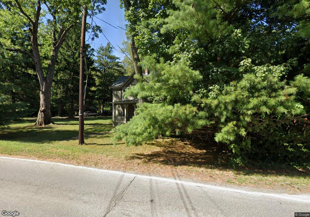
3127 Newtown Rd Cincinnati, OH 45244
Turpin Hills NeighborhoodEstimated Value: $242,073 - $345,000
2
Beds
1
Bath
1,204
Sq Ft
$237/Sq Ft
Est. Value
About This Home
This home is located at 3127 Newtown Rd, Cincinnati, OH 45244 and is currently estimated at $285,268, approximately $236 per square foot. 3127 Newtown Rd is a home located in Hamilton County with nearby schools including Mercer Elementary School, Nagel Middle School, and Turpin High School.
Ownership History
Date
Name
Owned For
Owner Type
Purchase Details
Closed on
Jan 27, 1995
Sold by
Noble Robert R
Bought by
Cunningham John J
Current Estimated Value
Home Financials for this Owner
Home Financials are based on the most recent Mortgage that was taken out on this home.
Original Mortgage
$58,400
Interest Rate
9.21%
Create a Home Valuation Report for This Property
The Home Valuation Report is an in-depth analysis detailing your home's value as well as a comparison with similar homes in the area
Home Values in the Area
Average Home Value in this Area
Purchase History
| Date | Buyer | Sale Price | Title Company |
|---|---|---|---|
| Cunningham John J | -- | -- | |
| Noble Robert R | -- | -- |
Source: Public Records
Mortgage History
| Date | Status | Borrower | Loan Amount |
|---|---|---|---|
| Closed | Cunningham John J | $58,400 |
Source: Public Records
Tax History
| Year | Tax Paid | Tax Assessment Tax Assessment Total Assessment is a certain percentage of the fair market value that is determined by local assessors to be the total taxable value of land and additions on the property. | Land | Improvement |
|---|---|---|---|---|
| 2025 | $3,753 | $59,854 | $15,418 | $44,436 |
| 2024 | $3,651 | $59,854 | $15,418 | $44,436 |
| 2023 | $3,471 | $59,854 | $15,418 | $44,436 |
| 2022 | $2,674 | $41,027 | $15,148 | $25,879 |
| 2021 | $2,612 | $41,027 | $15,148 | $25,879 |
| 2020 | $2,640 | $41,027 | $15,148 | $25,879 |
| 2019 | $2,574 | $36,306 | $13,405 | $22,901 |
| 2018 | $2,412 | $36,306 | $13,405 | $22,901 |
| 2017 | $2,276 | $36,306 | $13,405 | $22,901 |
| 2016 | $1,891 | $29,439 | $13,675 | $15,764 |
| 2015 | $1,837 | $29,439 | $13,675 | $15,764 |
| 2014 | $1,838 | $29,439 | $13,675 | $15,764 |
| 2013 | $1,706 | $28,861 | $13,405 | $15,456 |
Source: Public Records
Map
Nearby Homes
- 3226 Church St
- 6809 Jefferson St
- 6939 Treeridge Dr
- 3379 Rio Grande Ln
- 2631 Newtown Rd
- 7260 English Dr Unit 8303
- 7269 Anderson Woods Dr
- 7008 Oak St
- 2560 Coveyrun Ct
- 2475 Pond Run Ave
- 6420 Copperleaf Ln
- 2412 Findlater Ct
- 2450 Doeview Ct
- 2559 Concordgreen Dr
- 2469 Walnutview Ct
- 7721 Pine Isle Ct
- 7481 Heatherwood Ln
- 5555 Beechmont Ave
- 2633 Montchateau Dr
- 7179 Lamplite Ct
- 3143 Newtown Rd
- 3138 Newtown Rd
- 3142 Newtown Rd
- 3109 Newtown Rd
- 6812 Ragland Rd
- 6782 Linder Ln
- 3200 Newtown Rd
- 3212 Church St
- 3211 Church St
- 6780 Linder Ln
- 1 Linder Ln
- 6919 Ragland Rd
- 6764 Linder Ln
- 6921 Ragland Rd
- 3218 Church St
- 6925 Ragland Rd
- 6910 Ragland Rd
- 3222 Church St
- 6912 Ragland Rd
- 6908 Ragland Rd
Your Personal Tour Guide
Ask me questions while you tour the home.