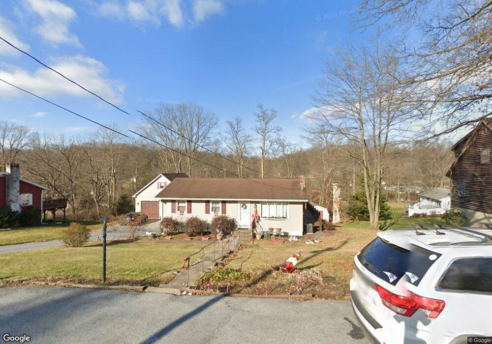
313 Hillside Rd Elizabethtown, PA 17022
Estimated Value: $249,000 - $311,461
2
Beds
2
Baths
1,040
Sq Ft
$278/Sq Ft
Est. Value
About This Home
This home is located at 313 Hillside Rd, Elizabethtown, PA 17022 and is currently estimated at $288,615, approximately $277 per square foot. 313 Hillside Rd is a home located in Lancaster County with nearby schools including Elizabethtown Area Middle School, Elizabethtown Area Senior High School, and Mount Calvary Christian School.
Ownership History
Date
Name
Owned For
Owner Type
Purchase Details
Closed on
Dec 23, 2020
Sold by
Cairns Amy S and Cairns Anthony M
Bought by
Cairns Amy S
Current Estimated Value
Purchase Details
Closed on
Mar 23, 2012
Sold by
Cairns Amy S and Cairns Anthony M
Bought by
Cairns Amy S and Cairns Anthony M
Home Financials for this Owner
Home Financials are based on the most recent Mortgage that was taken out on this home.
Original Mortgage
$120,000
Outstanding Balance
$15,399
Interest Rate
3.91%
Mortgage Type
New Conventional
Estimated Equity
$273,216
Purchase Details
Closed on
Dec 28, 2001
Sold by
Snyder Frank S
Bought by
Keefer Amy S and Cairns Anthony M
Home Financials for this Owner
Home Financials are based on the most recent Mortgage that was taken out on this home.
Original Mortgage
$95,000
Interest Rate
7.04%
Create a Home Valuation Report for This Property
The Home Valuation Report is an in-depth analysis detailing your home's value as well as a comparison with similar homes in the area
Home Values in the Area
Average Home Value in this Area
Purchase History
| Date | Buyer | Sale Price | Title Company |
|---|---|---|---|
| Cairns Amy S | -- | None Available | |
| Cairns Amy S | -- | None Available | |
| Keefer Amy S | $100,000 | -- |
Source: Public Records
Mortgage History
| Date | Status | Borrower | Loan Amount |
|---|---|---|---|
| Open | Cairns Amy S | $120,000 | |
| Closed | Keefer Amy S | $95,000 |
Source: Public Records
Tax History
| Year | Tax Paid | Tax Assessment Tax Assessment Total Assessment is a certain percentage of the fair market value that is determined by local assessors to be the total taxable value of land and additions on the property. | Land | Improvement |
|---|---|---|---|---|
| 2025 | $4,003 | $158,100 | $52,700 | $105,400 |
| 2024 | $4,003 | $158,100 | $52,700 | $105,400 |
| 2023 | $3,915 | $158,100 | $52,700 | $105,400 |
| 2022 | $3,750 | $158,100 | $52,700 | $105,400 |
| 2021 | $3,516 | $158,100 | $52,700 | $105,400 |
| 2020 | $3,516 | $158,100 | $52,700 | $105,400 |
| 2019 | $3,440 | $158,100 | $52,700 | $105,400 |
| 2018 | $2,542 | $158,100 | $52,700 | $105,400 |
| 2017 | $3,142 | $119,100 | $34,700 | $84,400 |
| 2016 | $2,700 | $104,300 | $34,700 | $69,600 |
| 2015 | $624 | $104,300 | $34,700 | $69,600 |
| 2014 | $1,832 | $104,300 | $34,700 | $69,600 |
Source: Public Records
Map
Nearby Homes
- 64 Lakeview Dr
- 535 N Locust St
- 604 Rockwood Dr
- 622 Rockwood Dr
- 345 N Hanover St
- 652 N Lime St
- 901 Spring Garden St
- 301 E Willow St
- 139 N Hanover St
- 224 N Chestnut St
- 120 N Locust St
- 415 E Willow St
- 919 Hedgewyck Ln
- 121 Newville Rd
- 208 E High St
- 815 Buckingham Blvd
- 212 Beechwood Ln
- 14 Cranfield Ct
- 234 Masonic Dr
- 64 Beech Ln
Your Personal Tour Guide
Ask me questions while you tour the home.