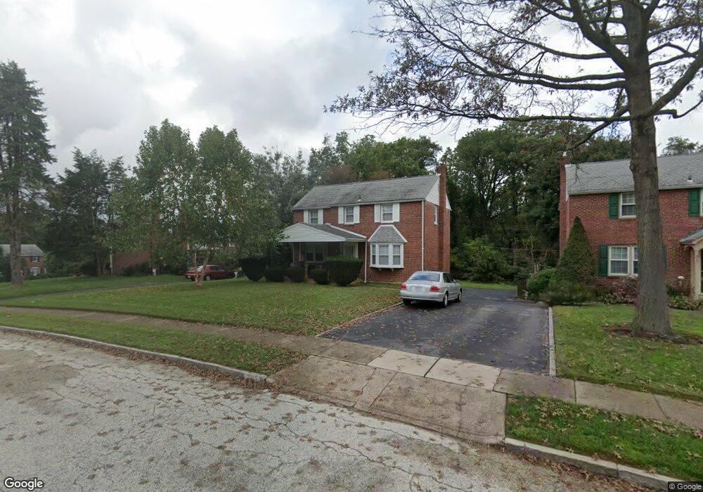
313 Holt Ln Springfield, PA 19064
Estimated Value: $382,000 - $481,000
3
Beds
2
Baths
1,380
Sq Ft
$319/Sq Ft
Est. Value
About This Home
This home is located at 313 Holt Ln, Springfield, PA 19064 and is currently estimated at $440,200, approximately $318 per square foot. 313 Holt Ln is a home located in Delaware County with nearby schools including Springfield High School, St Francis Of Assisi School, and Notre Dame De Lourdes Catholic School.
Ownership History
Date
Name
Owned For
Owner Type
Purchase Details
Closed on
Jan 11, 2023
Sold by
Joseph M Degidio Trust
Bought by
Degidio Robert J and Degidio Anna
Current Estimated Value
Purchase Details
Closed on
Feb 10, 2016
Sold by
Egidio Robert J D
Bought by
Egidio Robert J D and The Joseph M D Egidio Trust
Purchase Details
Closed on
Oct 22, 2012
Sold by
Degidio Joseph A and Degidio Jeanette V
Bought by
Degidio Joseph A
Create a Home Valuation Report for This Property
The Home Valuation Report is an in-depth analysis detailing your home's value as well as a comparison with similar homes in the area
Home Values in the Area
Average Home Value in this Area
Purchase History
| Date | Buyer | Sale Price | Title Company |
|---|---|---|---|
| Degidio Robert J | $106,666 | -- | |
| Egidio Robert J D | -- | Attorney | |
| Degidio Joseph A | -- | None Available |
Source: Public Records
Tax History
| Year | Tax Paid | Tax Assessment Tax Assessment Total Assessment is a certain percentage of the fair market value that is determined by local assessors to be the total taxable value of land and additions on the property. | Land | Improvement |
|---|---|---|---|---|
| 2025 | $7,826 | $278,420 | $103,760 | $174,660 |
| 2024 | $7,826 | $278,420 | $103,760 | $174,660 |
| 2023 | $7,535 | $278,420 | $103,760 | $174,660 |
| 2022 | $7,372 | $278,420 | $103,760 | $174,660 |
| 2021 | $11,417 | $278,420 | $103,760 | $174,660 |
| 2020 | $5,850 | $129,090 | $49,880 | $79,210 |
| 2019 | $5,712 | $129,090 | $49,880 | $79,210 |
| 2018 | $5,630 | $129,090 | $0 | $0 |
| 2017 | $5,500 | $129,090 | $0 | $0 |
| 2016 | $708 | $129,090 | $0 | $0 |
| 2015 | $723 | $129,090 | $0 | $0 |
| 2014 | $723 | $129,090 | $0 | $0 |
Source: Public Records
Map
Nearby Homes
- 71 W Sproul Rd
- 1363 Palmer Dr Unit O122
- 1291 Country Club Dr Unit Q137
- 493 Wheatsheaf Rd
- 525 N Swarthmore Ave
- 519 Walnut Ln Unit 1
- 249 Gleaves Rd
- 231 E Woodland Ave
- 364 S Rolling Rd
- 264 Pancoast Ave
- 933 Greenbriar Ln
- 359 Spring Valley Rd
- 720 Evans Rd
- 658 E Leamy Ave
- 436 Kerr Ln
- 253 Saxer Ave
- 208 Parham Rd
- 339 Plush Mill Rd
- 114 Providence Rd
- 110 Park Ave Unit 370
Your Personal Tour Guide
Ask me questions while you tour the home.