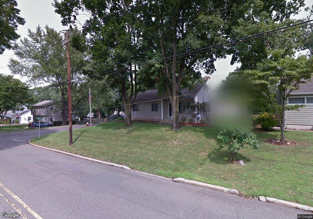
314 Brookside Ave Cresskill, NJ 07626
Estimated Value: $722,000 - $1,091,000
Studio
--
Bath
1,888
Sq Ft
$472/Sq Ft
Est. Value
About This Home
This home is located at 314 Brookside Ave, Cresskill, NJ 07626 and is currently estimated at $891,968, approximately $472 per square foot. 314 Brookside Ave is a home located in Bergen County with nearby schools including Cresskill High School.
Ownership History
Date
Name
Owned For
Owner Type
Purchase Details
Closed on
May 24, 2012
Sold by
Morrison Michael and Morrison Teresa
Bought by
Morrison Michael and Morrison Teresa
Current Estimated Value
Home Financials for this Owner
Home Financials are based on the most recent Mortgage that was taken out on this home.
Original Mortgage
$329,375
Interest Rate
3.9%
Mortgage Type
New Conventional
Create a Home Valuation Report for This Property
The Home Valuation Report is an in-depth analysis detailing your home's value as well as a comparison with similar homes in the area
Home Values in the Area
Average Home Value in this Area
Purchase History
| Date | Buyer | Sale Price | Title Company |
|---|---|---|---|
| Morrison Michael | -- | -- |
Source: Public Records
Mortgage History
| Date | Status | Borrower | Loan Amount |
|---|---|---|---|
| Previous Owner | Morrison Michael | $329,375 |
Source: Public Records
Tax History
| Year | Tax Paid | Tax Assessment Tax Assessment Total Assessment is a certain percentage of the fair market value that is determined by local assessors to be the total taxable value of land and additions on the property. | Land | Improvement |
|---|---|---|---|---|
| 2025 | $12,156 | $574,700 | $374,700 | $200,000 |
| 2024 | $11,559 | $528,500 | $336,300 | $192,200 |
| 2023 | $11,236 | $498,000 | $311,300 | $186,700 |
| 2022 | $11,236 | $466,800 | $287,900 | $178,900 |
| 2021 | $10,982 | $449,700 | $275,400 | $174,300 |
| 2020 | $10,672 | $438,800 | $266,900 | $171,900 |
| 2019 | $10,418 | $432,800 | $263,400 | $169,400 |
| 2018 | $7,225 | $428,500 | $260,400 | $168,100 |
| 2017 | $10,978 | $403,300 | $216,000 | $187,300 |
| 2016 | $10,651 | $403,300 | $216,000 | $187,300 |
| 2015 | $10,320 | $403,300 | $216,000 | $187,300 |
| 2014 | $10,010 | $403,300 | $216,000 | $187,300 |
Source: Public Records
Map
Nearby Homes
- 310 Brookside Ave
- 19 Clark St
- 322 Brookside Ave
- 15 Clark St
- 313 Brookside Ave
- 306 Brookside Ave
- 317 Brookside Ave
- 23 Clark St
- 321 Brookside Ave
- 326 Brookside Ave
- 11 Clark St
- 27 Clark St
- 36 Godfrey Place
- 305 Brookside Ave
- 16 Clark St
- 304 Brookside Ave
- 20 Clark St
- 325 Brookside Ave
- 128 Heatherhill Rd
- 124 Heatherhill Rd
Your Personal Tour Guide
Ask me questions while you tour the home.