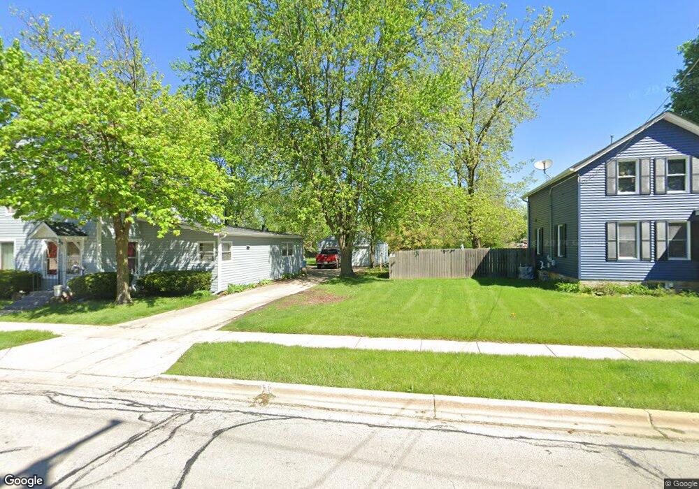
314 Forest Ave Aurora, IL 60505
Waubonsie NeighborhoodEstimated Value: $73,137 - $75,000
Studio
--
Bath
--
Sq Ft
36,590
Sq Ft Lot
About This Home
This home is located at 314 Forest Ave, Aurora, IL 60505 and is currently estimated at $74,069. 314 Forest Ave is a home located in DuPage County with nearby schools including Steck Elementary School, Fischer Middle School, and Waubonsie Valley High School.
Ownership History
Date
Name
Owned For
Owner Type
Purchase Details
Closed on
Jun 30, 2011
Sold by
Granny Smith Apple Properties Llc
Bought by
Amos Financial Llc
Current Estimated Value
Purchase Details
Closed on
Jun 13, 2005
Sold by
Barnette Kenneth W and Parker Constance M I
Bought by
Cypress Development Llc
Purchase Details
Closed on
Oct 9, 1995
Sold by
Hills Roy and Hills Roy Allen
Bought by
Barnette Kenneth T and Parker Constance M I
Home Financials for this Owner
Home Financials are based on the most recent Mortgage that was taken out on this home.
Original Mortgage
$31,200
Interest Rate
7.8%
Create a Home Valuation Report for This Property
The Home Valuation Report is an in-depth analysis detailing your home's value as well as a comparison with similar homes in the area
Home Values in the Area
Average Home Value in this Area
Purchase History
| Date | Buyer | Sale Price | Title Company |
|---|---|---|---|
| Amos Financial Llc | $278,000 | None Available | |
| Cypress Development Llc | $50,000 | Multiple | |
| Barnette Kenneth T | $39,000 | Law Title |
Source: Public Records
Mortgage History
| Date | Status | Borrower | Loan Amount |
|---|---|---|---|
| Previous Owner | Barnette Kenneth T | $31,200 |
Source: Public Records
Tax History
| Year | Tax Paid | Tax Assessment Tax Assessment Total Assessment is a certain percentage of the fair market value that is determined by local assessors to be the total taxable value of land and additions on the property. | Land | Improvement |
|---|---|---|---|---|
| 2024 | $1,139 | $15,759 | $15,759 | -- |
| 2023 | $1,094 | $14,160 | $14,160 | $0 |
| 2022 | $1,033 | $12,970 | $12,970 | $0 |
| 2021 | $1,007 | $12,510 | $12,510 | $0 |
| 2020 | $1,017 | $12,510 | $12,510 | $0 |
| 2019 | $981 | $11,900 | $11,900 | $0 |
| 2018 | $929 | $11,140 | $11,140 | $0 |
| 2017 | $912 | $10,760 | $10,760 | $0 |
| 2016 | $897 | $10,330 | $10,330 | $0 |
| 2015 | $890 | $9,810 | $9,810 | $0 |
| 2014 | $1,649 | $17,670 | $17,670 | $0 |
| 2013 | $1,630 | $17,790 | $17,790 | $0 |
Source: Public Records
Map
Nearby Homes
- 227 Vaughn Rd
- 247 Vaughn Rd
- 229 Vaughn Rd
- 249 Vaughn Rd
- 251 Vaughn Rd
- 253 Vaughn Rd
- 255 Vaughn Rd
- 38 Breckenridge Dr
- 2333 Stoughton Cir Unit 350206
- 412 Jamestown Ct Unit 302E
- 452 Jamestown Ct Unit 506
- 530 Wolverine Dr
- 2321 Hudson Cir Unit 2701
- 33 Forestview Ln
- 2833 Mapleside Ct
- 3072 Anton Cir
- 3033 Anton Cir
- 130 Alderwood Ln
- 1900 E New York St
- 3027 Anton Dr Unit 111
- 32W420 Forest Dr
- 2494 Adamsway Dr
- 2506 Adamsway Dr
- 2482 Adamsway Dr
- 7S618 Vaughn Rd
- 7S368 Vaughan Rd
- 2518 Adamsway Dr
- 2470 Adamsway Dr
- LOT 13 Adamsway Dr
- 2530 Adamsway Dr
- 2441 Stoughton Cir Unit 351105
- 2441 Stoughton Cir Unit 2441
- 2458 Adamsway Dr
- 2443 Stoughton Cir Unit 351104
- 2445 Stoughton Cir Unit 351103
- 2447 Stoughton Cir Unit 351102
- 2542 Adamsway Dr
- 2503 Adamsway Dr
- 2449 Stoughton Cir Unit 351101
- 2449 Stoughton Cir
Your Personal Tour Guide
Ask me questions while you tour the home.