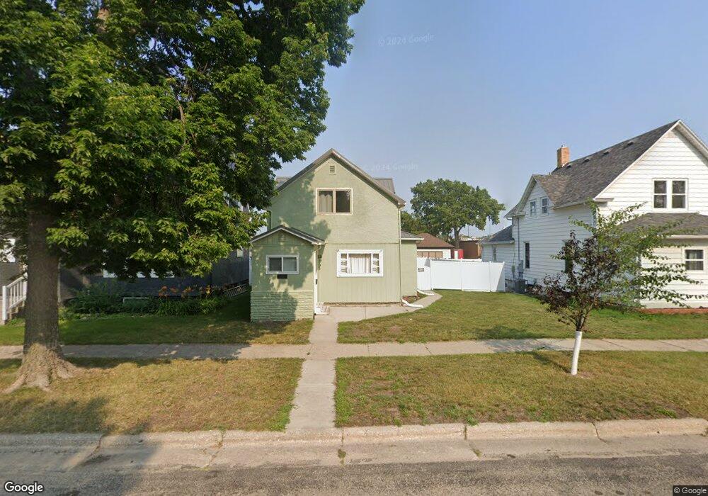
315 3rd Ave SW Jamestown, ND 58401
Estimated Value: $141,000 - $165,000
3
Beds
2
Baths
1,243
Sq Ft
$123/Sq Ft
Est. Value
About This Home
This home is located at 315 3rd Ave SW, Jamestown, ND 58401 and is currently estimated at $152,434, approximately $122 per square foot. 315 3rd Ave SW is a home located in Stutsman County with nearby schools including Jamestown High School, St. John's Academy, and Our Saviors Lutheran E.
Ownership History
Date
Name
Owned For
Owner Type
Purchase Details
Closed on
Jun 9, 2017
Sold by
Trautman Jane and Trautman Tom
Bought by
Hovater Gregory P and Hovater Karen J
Current Estimated Value
Purchase Details
Closed on
Apr 29, 2015
Sold by
Trautman Thomas H and Trautman Jane A
Bought by
Trautman Se Properties Llc
Purchase Details
Closed on
Aug 24, 2009
Sold by
Smith Eric E and Smith Meggan Mae
Bought by
Midfirst Bank
Purchase Details
Closed on
Jun 19, 2009
Sold by
Midfirst Bank Corp
Bought by
Secretary Of Hud
Create a Home Valuation Report for This Property
The Home Valuation Report is an in-depth analysis detailing your home's value as well as a comparison with similar homes in the area
Home Values in the Area
Average Home Value in this Area
Purchase History
| Date | Buyer | Sale Price | Title Company |
|---|---|---|---|
| Hovater Gregory P | $95,000 | None Available | |
| Trautman Se Properties Llc | -- | None Available | |
| Midfirst Bank | $96,453 | None Available | |
| Secretary Of Hud | -- | None Available |
Source: Public Records
Tax History
| Year | Tax Paid | Tax Assessment Tax Assessment Total Assessment is a certain percentage of the fair market value that is determined by local assessors to be the total taxable value of land and additions on the property. | Land | Improvement |
|---|---|---|---|---|
| 2025 | $1,883 | $58,350 | $5,250 | $53,100 |
| 2024 | $18 | $55,480 | $6,132 | $49,348 |
| 2023 | $1,765 | $53,352 | $5,897 | $47,455 |
| 2022 | $1,733 | $49,400 | $5,460 | $43,940 |
| 2021 | $1,901 | $47,000 | $5,250 | $41,750 |
| 2020 | $1,421 | $46,500 | $5,250 | $41,250 |
| 2019 | $1,423 | $45,950 | $5,250 | $40,700 |
| 2018 | $1,457 | $44,300 | $0 | $0 |
| 2017 | $1,084 | $34,105 | $0 | $0 |
| 2016 | $1,132 | $32,795 | $0 | $0 |
| 2013 | -- | $2,201 | $315 | $1,886 |
Source: Public Records
Map
Nearby Homes
- 220 4th Ave SW
- 514 2nd Ave SE
- 320 5th Ave SW
- 443 1st St W
- 316 8th St SW
- 120 4th Ave SE
- 625 7th Ave SW
- 406 1st Ave N
- 722 4th Ave SE
- 519 4th St SE
- 706 2nd St SW Unit A
- Tbd Highway 281
- 924 3rd Ave SE
- 621 1st Ave N
- 718 3rd St NE
- 1009 8th Ave SE
- 2023 5th Ave SW
- 717 8th Ave NW
- 809 13th Ave SW
- 1200 7th St SW Unit 105
Your Personal Tour Guide
Ask me questions while you tour the home.