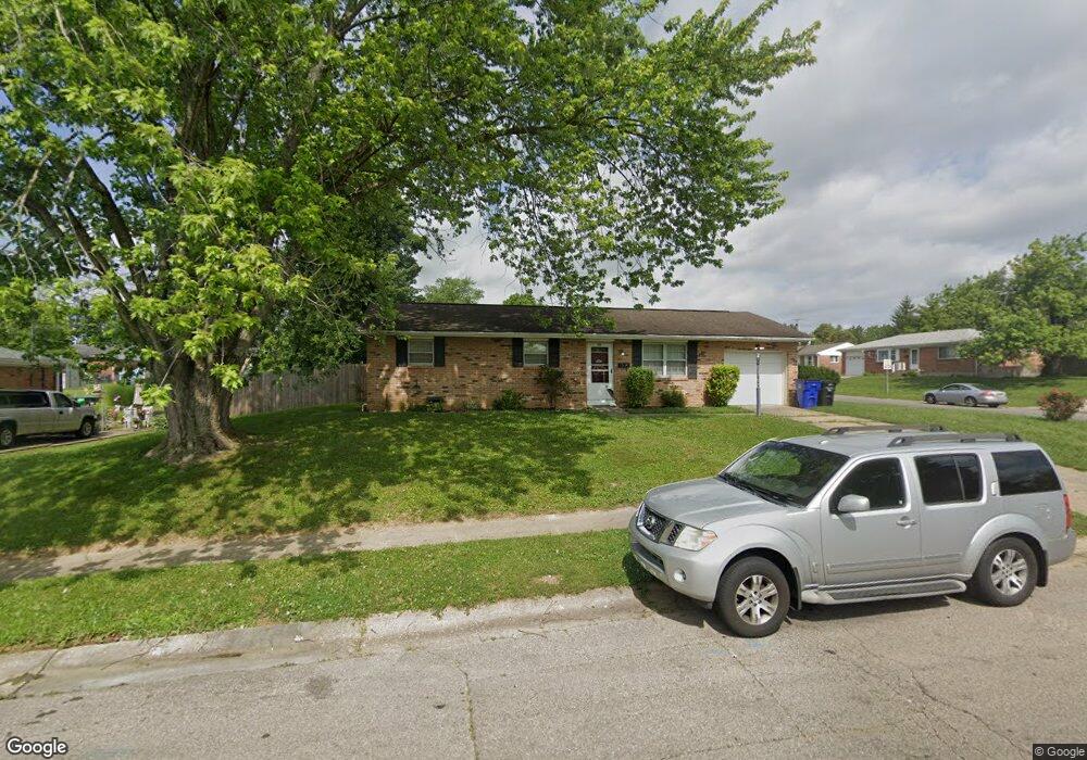
315 Michael Ave Hamilton, OH 45011
East Hamilton NeighborhoodEstimated Value: $179,000 - $268,000
3
Beds
2
Baths
1,503
Sq Ft
$142/Sq Ft
Est. Value
About This Home
This home is located at 315 Michael Ave, Hamilton, OH 45011 and is currently estimated at $213,209, approximately $141 per square foot. 315 Michael Ave is a home located in Butler County with nearby schools including Fairwood Elementary School, Garfield Middle School, and Hamilton Freshman School.
Ownership History
Date
Name
Owned For
Owner Type
Purchase Details
Closed on
Dec 28, 2005
Sold by
Smith Gladys
Bought by
Capito Jordan D and Berni Ronald
Current Estimated Value
Home Financials for this Owner
Home Financials are based on the most recent Mortgage that was taken out on this home.
Original Mortgage
$103,377
Outstanding Balance
$57,204
Interest Rate
6.4%
Mortgage Type
FHA
Estimated Equity
$156,005
Purchase Details
Closed on
May 27, 2004
Sold by
Sawyers Donald R and Blaechle Marilyn
Bought by
Smith Gladys
Create a Home Valuation Report for This Property
The Home Valuation Report is an in-depth analysis detailing your home's value as well as a comparison with similar homes in the area
Home Values in the Area
Average Home Value in this Area
Purchase History
| Date | Buyer | Sale Price | Title Company |
|---|---|---|---|
| Capito Jordan D | $105,000 | Technetitle Agency Inc | |
| Smith Gladys | -- | -- |
Source: Public Records
Mortgage History
| Date | Status | Borrower | Loan Amount |
|---|---|---|---|
| Open | Capito Jordan D | $103,377 |
Source: Public Records
Tax History
| Year | Tax Paid | Tax Assessment Tax Assessment Total Assessment is a certain percentage of the fair market value that is determined by local assessors to be the total taxable value of land and additions on the property. | Land | Improvement |
|---|---|---|---|---|
| 2025 | $2,383 | $56,470 | $9,490 | $46,980 |
| 2024 | $2,383 | $56,470 | $9,490 | $46,980 |
| 2023 | $2,372 | $56,470 | $9,490 | $46,980 |
| 2022 | $2,023 | $40,710 | $9,490 | $31,220 |
| 2021 | $1,784 | $39,390 | $9,490 | $29,900 |
| 2020 | $1,858 | $39,390 | $9,490 | $29,900 |
| 2019 | $2,575 | $35,170 | $8,850 | $26,320 |
| 2018 | $1,635 | $35,170 | $8,850 | $26,320 |
| 2017 | $1,649 | $35,170 | $8,850 | $26,320 |
| 2016 | $1,577 | $32,050 | $8,850 | $23,200 |
| 2015 | $1,568 | $32,050 | $8,850 | $23,200 |
| 2014 | $1,341 | $32,050 | $8,850 | $23,200 |
| 2013 | $1,341 | $29,190 | $8,850 | $20,340 |
Source: Public Records
Map
Nearby Homes
- 203 Michael Ave
- 1981 Princeton Rd
- 7004 Hieb Ln
- 0 Allstatter Ave Unit 1844051
- 340 Hancock Ave
- 1111 Parrish Ave
- 1135 Kahn Ave
- 130 Lulu Ave
- 1351 Parrish Ave
- 1303 Campbell Ave
- 6983 Hunters Moon Ct
- 1346 Shuler Ave
- 5554 Wanda Way
- 325 N Fair Ave
- 2639 Utica Ave
- 1712 Parrish Ave
- 422 S 13th St
- 1232 Chestnut St
- 1681 Kahn Ave
- 1812 Tuley Rd
- 313 Michael Ave
- 389 Hampshire Dr
- 396 Hampshire Dr
- 401 Hampshire Dr
- 383 Hampshire Dr
- 2 Jasper Ct
- 4 Jasper Ct
- 314 Michael Ave
- 390 Hampshire Dr
- 6 Jasper Ct
- 321 Michael Ave
- 312 Michael Ave
- 377 Hampshire Dr
- 384 Hampshire Dr
- 8 Jasper Ct
- 310 Michael Ave
- 371 Hampshire Dr
- 10 Jasper Ct
- 307 Michael Ave
- 3 Jasper Ct
Your Personal Tour Guide
Ask me questions while you tour the home.