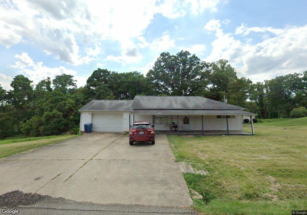
315 Mount Tom Rd Marietta, OH 45750
Estimated Value: $143,000 - $226,000
2
Beds
1
Bath
960
Sq Ft
$181/Sq Ft
Est. Value
About This Home
This home is located at 315 Mount Tom Rd, Marietta, OH 45750 and is currently estimated at $173,961, approximately $181 per square foot. 315 Mount Tom Rd is a home located in Washington County with nearby schools including Marietta High School.
Ownership History
Date
Name
Owned For
Owner Type
Purchase Details
Closed on
May 30, 2023
Sold by
Sedwick Steve
Bought by
Haessly Mack Tyler
Current Estimated Value
Purchase Details
Closed on
Dec 28, 2021
Sold by
Breanne Reed
Bought by
Hager Bessie R
Purchase Details
Closed on
Sep 23, 2009
Sold by
Cameron Ruby L and Hager Bessie R
Bought by
Reed Breanne
Purchase Details
Closed on
Mar 10, 1992
Bought by
Cameron Ruby L and Cameron Hager B
Purchase Details
Closed on
Apr 24, 1989
Purchase Details
Closed on
Jul 13, 1988
Purchase Details
Closed on
Aug 8, 1986
Create a Home Valuation Report for This Property
The Home Valuation Report is an in-depth analysis detailing your home's value as well as a comparison with similar homes in the area
Purchase History
| Date | Buyer | Sale Price | Title Company |
|---|---|---|---|
| Haessly Mack Tyler | $120,000 | Secure Title | |
| Haessly Mack Tyler | $120,000 | Secure Title | |
| Hager Bessie R | -- | Ryan Law Office Co Lpa | |
| Reed Breanne | -- | Attorney | |
| Cameron Ruby L | $42,000 | -- | |
| Cameron Ruby L | $42,000 | -- | |
| -- | -- | -- | |
| -- | -- | -- | |
| -- | $39,000 | -- | |
| -- | $39,000 | -- | |
| -- | -- | -- | |
| -- | -- | -- |
Source: Public Records
Tax History
| Year | Tax Paid | Tax Assessment Tax Assessment Total Assessment is a certain percentage of the fair market value that is determined by local assessors to be the total taxable value of land and additions on the property. | Land | Improvement |
|---|---|---|---|---|
| 2024 | $1,649 | $40,760 | $7,790 | $32,970 |
| 2023 | $1,424 | $40,760 | $7,790 | $32,970 |
| 2022 | $1,112 | $40,760 | $7,790 | $32,970 |
| 2021 | $1,067 | $37,580 | $5,970 | $31,610 |
| 2020 | $1,073 | $37,580 | $5,970 | $31,610 |
| 2019 | $1,071 | $37,580 | $5,970 | $31,610 |
| 2018 | $963 | $33,840 | $4,980 | $28,860 |
| 2017 | $961 | $33,840 | $4,980 | $28,860 |
| 2016 | $2,293 | $33,840 | $4,980 | $28,860 |
| 2015 | $848 | $29,820 | $4,850 | $24,970 |
| 2014 | $2,024 | $29,820 | $4,850 | $24,970 |
| 2013 | $844 | $29,820 | $4,850 | $24,970 |
Source: Public Records
Map
Nearby Homes
- 240 Woodland Acres Rd
- 97 Woodland Acres Rd
- 185 Goose Run Rd
- 904 Pike St
- 50 Jennings Hill Rd
- 106 Sheridan St
- 939 Pike St
- 303 1/2 Ingleside Ave
- 900 Phillips St
- 127 Rauch Dr
- 207 Kenwood St
- 15999 Ohio 26
- 1105 Greene St
- 100 Rauch Dr
- 4940 State Route 26 Unit 589
- 1585 County Road 9
- 228 Oakwood Ave Unit 230
- 0 Greene St
- 209 Oakwood Ave
- 107 Vine St
- 333 Mount Tom Rd
- 280 Mount Tom Rd
- 340 Mount Tom Rd
- 260 Mount Tom Rd
- 240 Mount Tom Rd
- 365 Mount Tom Rd
- 425 Mount Tom Rd
- 22 Woodland Acres Rd
- 230 Mount Tom Rd
- 168 Woodland Acres Rd
- 162 Woodland Acres Rd
- 39 Woodland Acres Rd
- 485 Mount Tom Rd
- 97 Woodland Acres Rd
- 191 Woodland Acres Rd
- 300 Woodland Acres Rd
- 300 Woodland Acres Rd
- 233 Woodland Acres Rd
- 265 Woodland Acres Rd
- 520 Mount Tom Rd
Your Personal Tour Guide
Ask me questions while you tour the home.