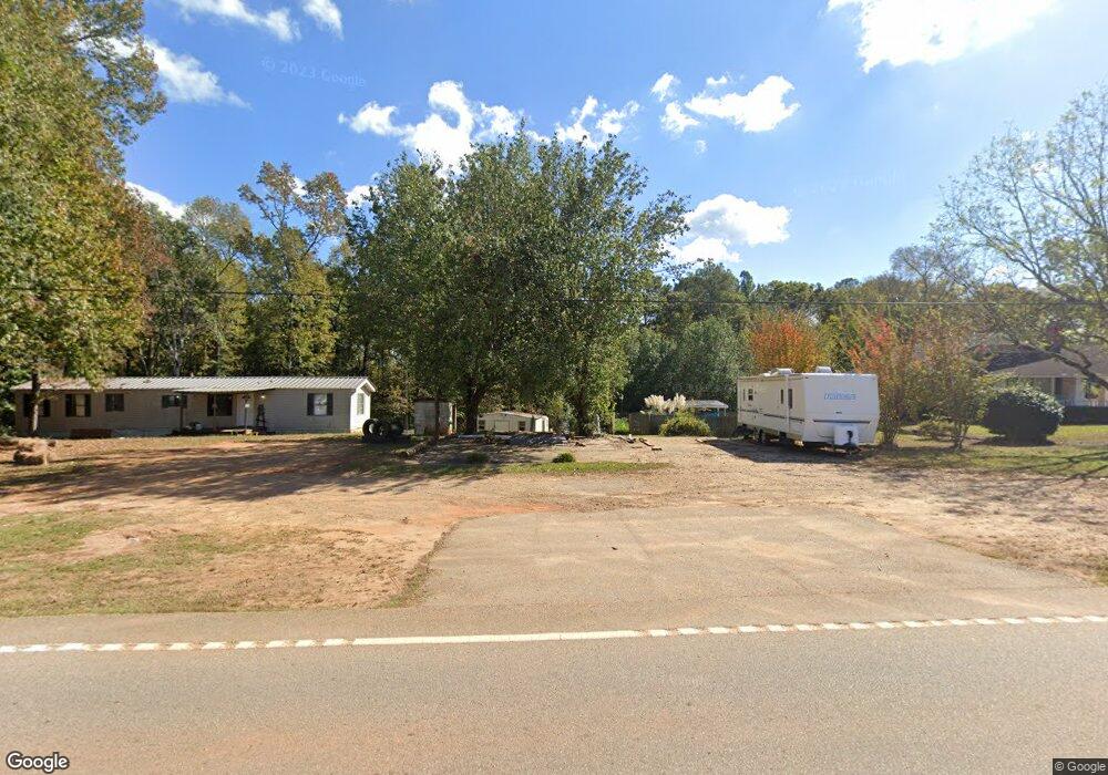
3153 West Point Rd Lagrange, GA 30240
Estimated Value: $199,801 - $270,000
About This Home
This home is located at 3153 West Point Rd, Lagrange, GA 30240 and is currently estimated at $221,700, approximately $164 per square foot. 3153 West Point Rd is a home located in Troup County with nearby schools including Berta Weathersbee Elementary School, Long Cane Elementary School, and Whitesville Road Elementary School.
Ownership History
We collect this data history from publicly available records. To have your information removed, we recommend requesting removal directly through your county’s website.
Purchase Details
Purchase Details
Purchase History
We collect this data history from publicly available records. To have your information removed, we recommend requesting removal directly through your county’s website.
| Date | Buyer | Sale Price | Title Company |
|---|---|---|---|
| -- | -- | ||
| -- | -- |
Tax History
We collect this data history from publicly available records. To have your information removed, we recommend requesting removal directly through your county’s website.
| Year | Tax Paid | Tax Assessment Tax Assessment Total Assessment is a certain percentage of the fair market value that is determined by local assessors to be the total taxable value of land and additions on the property. | Land | Improvement |
|---|---|---|---|---|
| 2025 | $906 | $62,576 | $5,000 | $57,576 |
| 2024 | $784 | $55,644 | $5,000 | $50,644 |
| 2023 | $639 | $50,316 | $5,000 | $45,316 |
| 2022 | $613 | $49,156 | $5,000 | $44,156 |
| 2021 | $486 | $42,604 | $4,240 | $38,364 |
| 2020 | $1,225 | $42,604 | $4,240 | $38,364 |
| 2019 | $999 | $35,120 | $4,000 | $31,120 |
| 2018 | $915 | $32,320 | $4,000 | $28,320 |
| 2017 | $915 | $32,320 | $4,000 | $28,320 |
| 2016 | $914 | $32,298 | $4,000 | $28,298 |
| 2015 | -- | $32,298 | $4,000 | $28,298 |
| 2014 | -- | $32,441 | $4,000 | $28,441 |
| 2013 | -- | $33,070 | $4,000 | $29,070 |
Map
- 245 Teaver Rd
- 20 Hill Rd
- 36 Hill Rd
- 53 Horace Carter Rd
- 419 Fling Rd
- 0 Bradfield Dr Unit 10568803
- 3658 W Point Rd
- 62 Maley Rd
- 105 Redwood Dr
- 131 Rob Roy Rd
- 6 Hastings Ct
- 82 Newton Rd
- 801 Glass Bridge Rd
- 104 Independence Ct
- 108 Meadownland Trail
- 105 + - Acres On McCosh Mill Rd
- 0 Deming St Unit 10550189
- 311 Cumberland Dr
- 101 Ivy Springs Dr
- 227 W Lakeview Dr
- 3159 West Point Rd
- 22 Martin Dr
- 8 Martin Dr
- 40 Martin Dr
- 78 Martin Dr
- 3176 W Point Rd
- 3176 West Point Rd
- 3209 W Point Rd
- 3140 West Point Rd
- 3140 W Point Rd
- 70 Martin Dr
- 3190 W Point Rd
- 3209 West Point Rd
- 3116 West Point Rd
- 75 Martin Dr
- 3116 W Point Rd
- 3206 West Point Rd
- 3206 W Point Rd
- 3223 West Point Rd
- 80 Martin Dr Unit 18
Ask me questions while you tour the home.