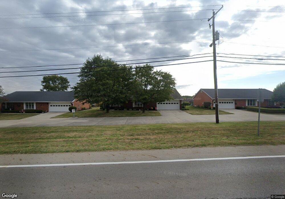
3154 Derr Rd Unit 2 Springfield, OH 45503
Estimated Value: $201,000 - $231,000
2
Beds
2
Baths
1,616
Sq Ft
$133/Sq Ft
Est. Value
About This Home
This home is located at 3154 Derr Rd Unit 2, Springfield, OH 45503 and is currently estimated at $214,498, approximately $132 per square foot. 3154 Derr Rd Unit 2 is a home located in Clark County with nearby schools including Northridge Elementary School, Kenton Ridge Middle & High School, and Emmanuel Christian Academy.
Ownership History
Date
Name
Owned For
Owner Type
Purchase Details
Closed on
Mar 18, 2013
Sold by
Martin Michael and Estate Of John F Martin
Bought by
Pience John L and Pience Diane D
Current Estimated Value
Home Financials for this Owner
Home Financials are based on the most recent Mortgage that was taken out on this home.
Original Mortgage
$91,900
Outstanding Balance
$64,001
Interest Rate
3.48%
Mortgage Type
New Conventional
Estimated Equity
$150,497
Purchase Details
Closed on
Aug 22, 2001
Sold by
Kaufman Fred and Kaufman Fred
Bought by
Martin John F and Martin Anna Mary
Home Financials for this Owner
Home Financials are based on the most recent Mortgage that was taken out on this home.
Original Mortgage
$40,000
Interest Rate
7.28%
Purchase Details
Closed on
Aug 9, 1995
Sold by
H C Bishop Inc
Bought by
Jones Richard E and Jones Barbara J
Create a Home Valuation Report for This Property
The Home Valuation Report is an in-depth analysis detailing your home's value as well as a comparison with similar homes in the area
Home Values in the Area
Average Home Value in this Area
Purchase History
| Date | Buyer | Sale Price | Title Company |
|---|---|---|---|
| Pience John L | $121,900 | None Available | |
| Martin John F | $117,500 | -- | |
| Jones Richard E | $85,000 | -- |
Source: Public Records
Mortgage History
| Date | Status | Borrower | Loan Amount |
|---|---|---|---|
| Open | Pience John L | $91,900 | |
| Previous Owner | Martin John F | $40,000 |
Source: Public Records
Tax History
| Year | Tax Paid | Tax Assessment Tax Assessment Total Assessment is a certain percentage of the fair market value that is determined by local assessors to be the total taxable value of land and additions on the property. | Land | Improvement |
|---|---|---|---|---|
| 2025 | $1,594 | $64,080 | $7,350 | $56,730 |
| 2024 | $1,566 | $47,380 | $6,300 | $41,080 |
| 2023 | $1,566 | $47,380 | $6,300 | $41,080 |
| 2022 | $1,589 | $47,380 | $6,300 | $41,080 |
| 2021 | $1,652 | $43,120 | $5,250 | $37,870 |
| 2020 | $1,653 | $43,120 | $5,250 | $37,870 |
| 2019 | $1,687 | $43,120 | $5,250 | $37,870 |
| 2018 | $1,463 | $37,640 | $5,570 | $32,070 |
| 2017 | $1,244 | $37,079 | $5,565 | $31,514 |
| 2016 | $1,234 | $37,079 | $5,565 | $31,514 |
| 2015 | $1,131 | $36,764 | $5,250 | $31,514 |
| 2014 | $1,517 | $36,764 | $5,250 | $31,514 |
| 2013 | $1,514 | $36,764 | $5,250 | $31,514 |
Source: Public Records
Map
Nearby Homes
- 1136 Foxboro Rd Unit 202
- 1139 Bradford Dr
- 1039 Bradford Dr Unit 42
- 3052 Brixton Dr E
- 3124 El Camino Dr
- 3135 Imperial Blvd
- 1201 Kingsgate Rd
- 1162 Kingsgate Rd
- 1525 Providence Ave
- 732 Grandview Dr Unit 732
- 1404 Attleboro Ave
- 3631 Kingsgate Ln
- 1500 Kingsgate Rd Unit 19430
- 1502 Kingsgate Rd Unit 19432
- 1500 Kingsgate Rd
- 1502 Kingsgate Rd
- 1503 Kingsgate Rd
- 1505 Kingsgate Rd
- 1507 Kingsgate Rd
- 2943 Tarryton Ln
- 3152 Derr Rd Unit 1
- 3152 Derr Rd
- 3152 Derr Rd
- 3156 Derr Rd Unit 3
- 1014 Abington Place Unit 21
- 1014 Abington Place
- 3158 Derr Rd
- 172 Abington Place
- 174 Abington Place
- 173 Abington Place
- 175 Abington Place
- 176 Abington Place
- 0 Abington Place
- 3035 Armsgate Rd Unit 132
- 3035 Armsgate Rd
- 1016 Abington Place
- 923 Abington
- 1011 Abington Place Unit 20
- 3039 Armsgate Rd Unit 131
- 3039 Armsgate Rd
Your Personal Tour Guide
Ask me questions while you tour the home.