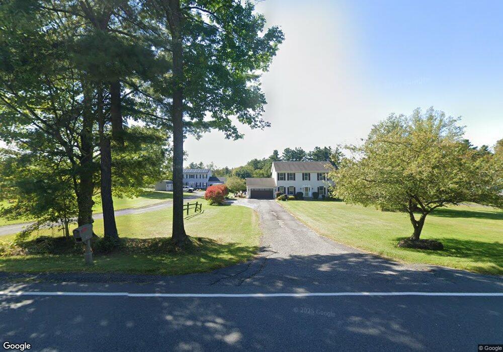
316 Dalton Division Rd Pittsfield, MA 01201
Estimated Value: $486,000 - $506,000
About This Home
This home is located at 316 Dalton Division Rd, Pittsfield, MA 01201 and is currently estimated at $495,818, approximately $221 per square foot. 316 Dalton Division Rd is a home located in Berkshire County with nearby schools including Williams Elementary School, Theodore Herberg Middle School, and Pittsfield High School.
Ownership History
We collect this data history from publicly available records. To have your information removed, we recommend requesting removal directly through your county’s website.
Purchase Details
Purchase Details
Purchase Details
Home Values in the Area
Average Home Value in this Area
Purchase History
We collect this data history from publicly available records. To have your information removed, we recommend requesting removal directly through your county’s website.
| Date | Buyer | Sale Price | Title Company |
|---|---|---|---|
| -- | -- | ||
| -- | -- | ||
| $25,000 | -- |
Mortgage History
We collect this data history from publicly available records. To have your information removed, we recommend requesting removal directly through your county’s website.
| Date | Status | Borrower | Loan Amount |
|---|---|---|---|
| Previous Owner | $125,000 | ||
| Previous Owner | $151,000 |
Tax History
We collect this data history from publicly available records. To have your information removed, we recommend requesting removal directly through your county’s website.
| Year | Tax Paid | Tax Assessment Tax Assessment Total Assessment is a certain percentage of the fair market value that is determined by local assessors to be the total taxable value of land and additions on the property. | Land | Improvement |
|---|---|---|---|---|
| 2025 | $7,104 | $396,000 | $83,600 | $312,400 |
| 2024 | $6,705 | $363,400 | $83,600 | $279,800 |
| 2023 | $6,256 | $341,500 | $83,600 | $257,900 |
| 2022 | $5,689 | $306,500 | $82,200 | $224,300 |
| 2021 | $6,191 | $321,600 | $82,200 | $239,400 |
| 2020 | $6,222 | $315,700 | $81,800 | $233,900 |
| 2019 | $6,104 | $314,300 | $86,300 | $228,000 |
| 2018 | $6,019 | $300,800 | $81,300 | $219,500 |
| 2017 | $5,577 | $284,100 | $72,800 | $211,300 |
| 2016 | $5,446 | $290,300 | $72,800 | $217,500 |
| 2015 | $5,243 | $290,300 | $72,800 | $217,500 |
Map
- 18 Greenings Ave
- 66 Dalton Division Rd
- 118 Winesap Rd
- 77 Imperial Ave
- 43 Eleanor Rd
- 161 Leona Dr
- 1952 East St
- 48 Lindsay Dr
- 171 Pine Grove Dr
- 29 Norwich Dr
- 1 Pondview Dr Unit C3
- 50 Grand Ave
- 127 Pinecrest Dr
- 39 Meleca Ave
- 240 Kirchner Rd
- 59 Joan Dr
- @Lot-16- Unit 118-16-0
- 580 Elm St
- 69 Elmore Dr
- 595 Williams St
- 314 Dalton Division Rd
- 318 Dalton Division Rd
- 312 Dalton Division Rd
- 324 Dalton Division Rd
- 310 Dalton Division Rd
- 23A Ice Glen Rd
- 306 Dalton Division Rd
- 328 Dalton Division Rd
- 330 Dalton Division Rd
- 345 Dalton Division Rd
- 275 Dalton Division Rd
- 290 Dalton Division Rd
- 365 Dalton Division Rd
- 284 Dalton Division Rd
- 215 Dalton Division Rd
- 387 Dalton Division Rd
- 280 Dalton Division Rd
- 340 Dalton Division Rd
- 405 Dalton Division Rd
- 201 Dalton Division Rd
Ask me questions while you tour the home.