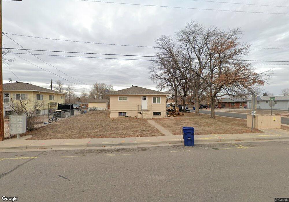
317 Broad St Milliken, CO 80543
Estimated Value: $309,000 - $363,000
About This Home
This home is located at 317 Broad St, Milliken, CO 80543 and is currently estimated at $346,860, approximately $332 per square foot. 317 Broad St is a home located in Weld County with nearby schools including Milliken Elementary School, Milliken Middle School, and Roosevelt High School.
Ownership History
We collect this data history from publicly available records. To have your information removed, we recommend requesting removal directly through your county’s website.
Purchase Details
Home Financials for this Owner
Home Financials are based on the most recent Mortgage that was taken out on this home.Purchase Details
Home Values in the Area
Average Home Value in this Area
Purchase History
We collect this data history from publicly available records. To have your information removed, we recommend requesting removal directly through your county’s website.
| Date | Buyer | Sale Price | Title Company |
|---|---|---|---|
| $90,000 | Stewart Title | ||
| -- | -- |
Mortgage History
We collect this data history from publicly available records. To have your information removed, we recommend requesting removal directly through your county’s website.
| Date | Status | Borrower | Loan Amount |
|---|---|---|---|
| Closed | $76,500 |
Tax History
We collect this data history from publicly available records. To have your information removed, we recommend requesting removal directly through your county’s website.
| Year | Tax Paid | Tax Assessment Tax Assessment Total Assessment is a certain percentage of the fair market value that is determined by local assessors to be the total taxable value of land and additions on the property. | Land | Improvement |
|---|---|---|---|---|
| 2026 | $2,397 | $21,600 | $4,280 | $17,320 |
| 2025 | $1,771 | $22,070 | $4,380 | $17,690 |
| 2024 | $1,808 | $21,600 | $3,690 | $17,910 |
| 2023 | $1,808 | $21,800 | $3,720 | $18,080 |
| 2022 | $1,875 | $16,050 | $3,740 | $12,310 |
| 2021 | $2,069 | $16,870 | $3,930 | $12,940 |
| 2020 | $1,879 | $15,650 | $3,290 | $12,360 |
| 2019 | $1,475 | $15,650 | $3,290 | $12,360 |
| 2018 | $1,539 | $15,950 | $2,880 | $13,070 |
| 2017 | $1,541 | $15,950 | $2,880 | $13,070 |
| 2016 | $1,218 | $12,490 | $1,550 | $10,940 |
| 2015 | $1,238 | $12,490 | $1,550 | $10,940 |
| 2014 | $784 | $8,000 | $1,190 | $6,810 |
Map
- 105 Broad St
- 201 N Pauline Ave
- 106 N Quentine Ave
- 103 N Josephine Ave
- 103 N Josephine Ave Unit 12
- 107 S Josephine Ave
- 193 W Dogwood St
- 0 Broad St Unit REC8059102
- 300 S Harriet Ave
- 113 S Frances Ave
- 208 S Frances Ave
- 320 E Lilac St
- 208 S Cora Ave
- 1171 Norma Ct
- 9916 W County Road 48 1 2
- 582 Traildust Dr
- 1296 S Frances Ave
- 1309 S Dusk Dr
- 1783 Sunset Cir
- 0 S Cora Ave
- 315 Broad St
- 315 Broad St Unit 1 & 2
- 101 N Norma Ave
- 313 Broad St
- 405 Broad St
- 103 N Norma Ave
- 312 Broad St
- 311 Broad St
- 100 N Norma Ave
- 310 Broad St
- 105 N Norma Ave
- 415 Broad St
- 102 N Olive Ave
- 400 Broad St
- 308 Broad St
- 107 N Norma Ave
- 104 N Olive Ave
- 306 Broad St
- 101 S Norma Ave
- 0 S Norma Ave Unit 958911
Ask me questions while you tour the home.