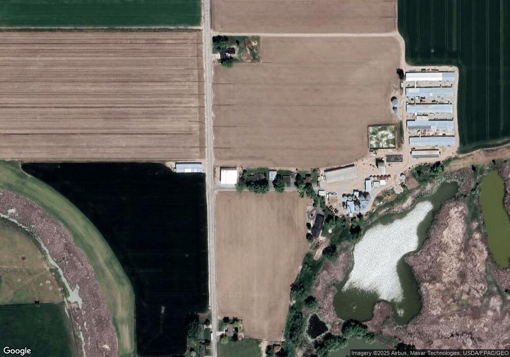
3171 W 4000 N Smithfield, UT 84335
Estimated Value: $540,000 - $740,000
Studio
--
Bath
1,774
Sq Ft
$366/Sq Ft
Est. Value
About This Home
This home is located at 3171 W 4000 N, Smithfield, UT 84335 and is currently estimated at $648,827, approximately $365 per square foot. 3171 W 4000 N is a home with nearby schools including Birch Creek School, Cedar Ridge School, and North Cache Middle School.
Ownership History
Date
Name
Owned For
Owner Type
Purchase Details
Closed on
Jul 28, 2023
Sold by
Todd N Ballard Family Trust
Bought by
Ballard Brent
Current Estimated Value
Purchase Details
Closed on
Jan 31, 2023
Sold by
Todd N Ballard Family Trust and Jace K Ballard Heritage Trust
Bought by
Jace K Ballard Heritage Trust and Ballard
Purchase Details
Closed on
Nov 16, 2022
Sold by
Jace K Ballard Heritage Trust and Ballard Jace K
Bought by
Todd N Ballard Family Trust and Ballard
Purchase Details
Closed on
Dec 30, 2009
Sold by
Ballard Todd N
Bought by
Ballard Todd N and Ballard Norene R
Create a Home Valuation Report for This Property
The Home Valuation Report is an in-depth analysis detailing your home's value as well as a comparison with similar homes in the area
Home Values in the Area
Average Home Value in this Area
Purchase History
| Date | Buyer | Sale Price | Title Company |
|---|---|---|---|
| Ballard Brent | -- | None Listed On Document | |
| Jace K Ballard Heritage Trust | -- | Northern Title Company | |
| Todd N Ballard Family Trust | -- | None Listed On Document | |
| Jace K Ballard Heritage Trust | -- | None Listed On Document | |
| Ballard Todd N | -- | None Available | |
| Ballard Todd N | -- | None Available |
Source: Public Records
Tax History
| Year | Tax Paid | Tax Assessment Tax Assessment Total Assessment is a certain percentage of the fair market value that is determined by local assessors to be the total taxable value of land and additions on the property. | Land | Improvement |
|---|---|---|---|---|
| 2025 | $2,555 | $417,655 | $0 | $0 |
| 2024 | $1,827 | $276,365 | $0 | $0 |
| 2023 | $1,629 | $230,450 | $0 | $0 |
| 2022 | $1,413 | $191,020 | $0 | $0 |
| 2021 | $1,308 | $301,280 | $87,820 | $213,460 |
| 2020 | $1,135 | $252,020 | $87,820 | $164,200 |
| 2019 | $1,201 | $252,020 | $87,820 | $164,200 |
| 2018 | $980 | $205,420 | $87,820 | $117,600 |
| 2017 | $894 | $85,135 | $0 | $0 |
| 2016 | $905 | $85,110 | $0 | $0 |
| 2015 | $902 | $85,085 | $0 | $0 |
| 2014 | $876 | $85,205 | $0 | $0 |
| 2013 | -- | $83,745 | $0 | $0 |
Source: Public Records
Map
Nearby Homes
Your Personal Tour Guide
Ask me questions while you tour the home.