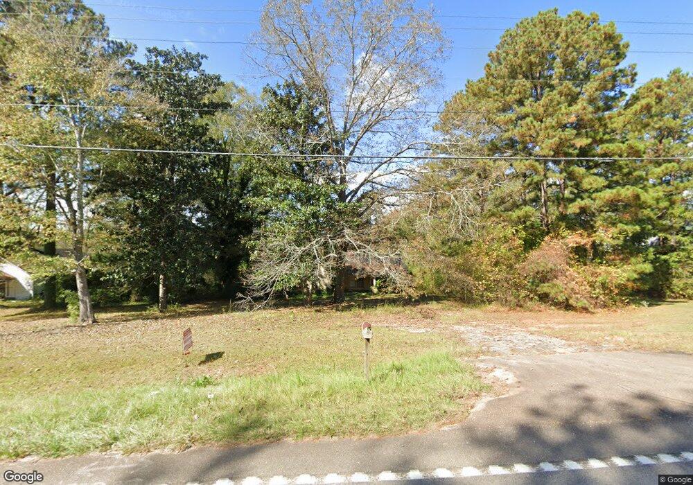
3176 West Point Rd Lagrange, GA 30240
Estimated Value: $77,523 - $225,000
2
Beds
1
Bath
1,300
Sq Ft
$121/Sq Ft
Est. Value
About This Home
This home is located at 3176 West Point Rd, Lagrange, GA 30240 and is currently estimated at $156,841, approximately $120 per square foot. 3176 West Point Rd is a home located in Troup County with nearby schools including Berta Weathersbee Elementary School, Long Cane Elementary School, and Whitesville Road Elementary School.
Ownership History
Date
Name
Owned For
Owner Type
Purchase Details
Closed on
Dec 20, 2024
Sold by
Heflin James G
Bought by
Oporto Ricardo
Current Estimated Value
Purchase Details
Closed on
Apr 25, 2016
Sold by
Woodruff Sharon Heflin
Bought by
Heflin James Guy
Purchase Details
Closed on
Sep 7, 2006
Sold by
Heflin James Guy
Bought by
Hefin James Guy
Purchase Details
Closed on
Feb 14, 2000
Sold by
Stell Heflin R
Bought by
Gussie Heflin
Purchase Details
Closed on
Jan 1, 1968
Sold by
Clay Rainwater
Bought by
Stell Heflin R
Purchase Details
Closed on
Jan 1, 1966
Sold by
Georgia Dennis
Bought by
Clay Rainwater
Create a Home Valuation Report for This Property
The Home Valuation Report is an in-depth analysis detailing your home's value as well as a comparison with similar homes in the area
Purchase History
| Date | Buyer | Sale Price | Title Company |
|---|---|---|---|
| Oporto Ricardo | $280,480 | -- | |
| Heflin James Guy | -- | -- | |
| Hefin James Guy | $30,000 | -- | |
| Heflin James Guy | $30,000 | -- | |
| Gussie Heflin | -- | -- | |
| Stell Heflin R | $4,000 | -- | |
| Clay Rainwater | -- | -- |
Source: Public Records
Tax History
| Year | Tax Paid | Tax Assessment Tax Assessment Total Assessment is a certain percentage of the fair market value that is determined by local assessors to be the total taxable value of land and additions on the property. | Land | Improvement |
|---|---|---|---|---|
| 2025 | $317 | $11,632 | $6,280 | $5,352 |
| 2024 | $253 | $9,272 | $6,280 | $2,992 |
| 2023 | $252 | $9,232 | $6,280 | $2,952 |
| 2022 | $253 | $9,072 | $6,280 | $2,792 |
| 2021 | $271 | $8,976 | $5,960 | $3,016 |
| 2020 | $271 | $8,976 | $5,960 | $3,016 |
| 2019 | $274 | $9,096 | $5,960 | $3,136 |
| 2018 | $266 | $8,832 | $5,960 | $2,872 |
| 2017 | $266 | $8,832 | $5,960 | $2,872 |
| 2016 | $263 | $8,714 | $5,980 | $2,734 |
| 2015 | $263 | $8,714 | $5,980 | $2,734 |
| 2014 | $259 | $8,570 | $5,980 | $2,590 |
| 2013 | -- | $8,724 | $5,980 | $2,744 |
Source: Public Records
Map
Nearby Homes
- 0 Glass Bridge Rd Unit 10679358
- 245 Teaver Rd
- 808 S Fling Rd
- 427 Fling Rd
- 288 Bradfield Dr
- 53 Horace Carter Rd
- 8 Horace Carter Rd
- 0 Bradfield Dr Unit 10568803
- 402 Ginger Cir
- 2239 Pegasus Pkwy
- 640 Hudson Rd
- 105 Redwood Dr
- 22 Freeman Rd
- 3009 Old West Point Rd
- 98 Hearn Rd
- 104 Independence Ct
- 113 Colonial Ct
- 311 Cumberland Dr
- 129 Angela East Dr
- 4.5 ACRES Whatley Rd N
- 3176 W Point Rd
- 3190 W Point Rd
- 8 Martin Dr
- 3140 West Point Rd
- 3140 W Point Rd
- 3206 West Point Rd
- 3206 W Point Rd
- 3153 West Point Rd
- 3159 West Point Rd
- 3209 West Point Rd
- 22 Martin Dr
- 3209 W Point Rd
- 3223 West Point Rd
- 64 Beaumont Ln
- 3116 West Point Rd
- 3116 W Point Rd
- 3234 West Point Rd
- 40 Martin Dr
- 54 Beaumont Ln
- 59 Beaumont Ln
Your Personal Tour Guide
Ask me questions while you tour the home.