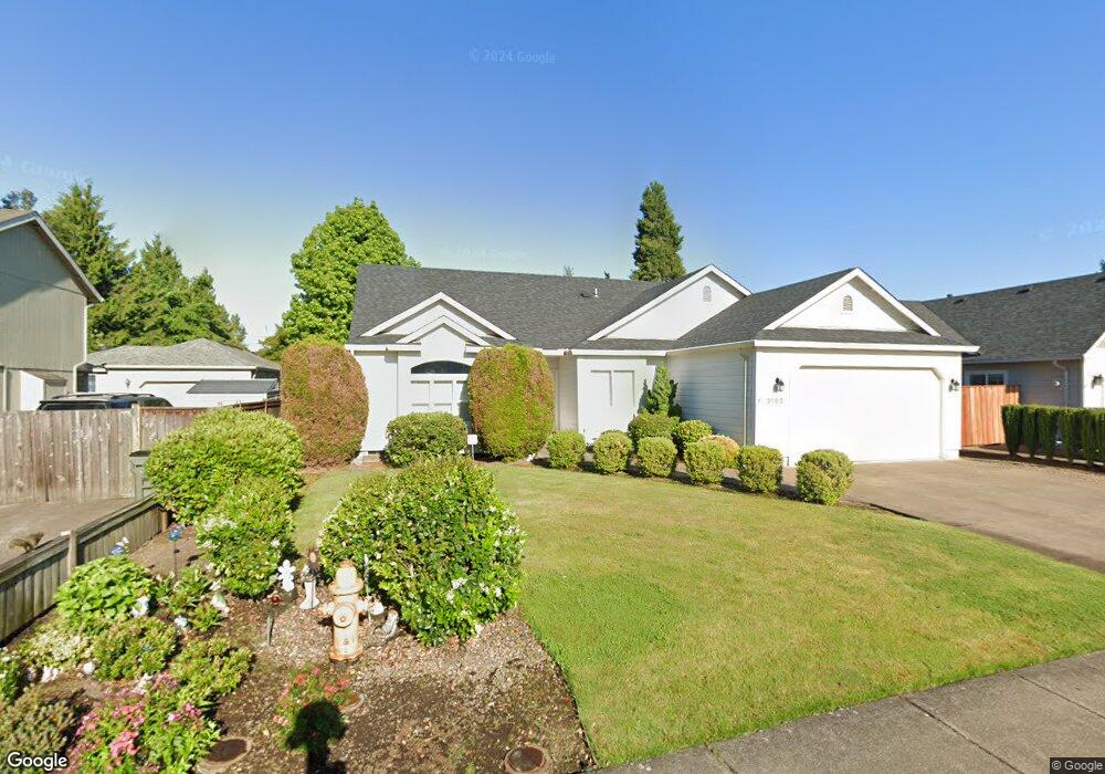
3182 Riverbend Ave Eugene, OR 97408
Cal Young NeighborhoodEstimated Value: $526,886 - $707,000
3
Beds
2
Baths
1,880
Sq Ft
$318/Sq Ft
Est. Value
About This Home
This home is located at 3182 Riverbend Ave, Eugene, OR 97408 and is currently estimated at $596,972, approximately $317 per square foot. 3182 Riverbend Ave is a home located in Lane County with nearby schools including Gilham Elementary School, Cal Young Middle School, and Sheldon High School.
Ownership History
Date
Name
Owned For
Owner Type
Purchase Details
Closed on
Sep 5, 2012
Sold by
Lente Mack D and Lente Francine M
Bought by
Lente Mack D and Lente Francine M
Current Estimated Value
Purchase Details
Closed on
Jul 31, 2001
Sold by
Smith Peter A and Smith Carrie A Z
Bought by
Lente Mack D and Lente Francine M
Home Financials for this Owner
Home Financials are based on the most recent Mortgage that was taken out on this home.
Original Mortgage
$164,000
Outstanding Balance
$62,243
Interest Rate
7.09%
Estimated Equity
$534,729
Create a Home Valuation Report for This Property
The Home Valuation Report is an in-depth analysis detailing your home's value as well as a comparison with similar homes in the area
Home Values in the Area
Average Home Value in this Area
Purchase History
| Date | Buyer | Sale Price | Title Company |
|---|---|---|---|
| Lente Mack D | -- | None Available | |
| Lente Mack D | $205,000 | Western Pioneer Title Co |
Source: Public Records
Mortgage History
| Date | Status | Borrower | Loan Amount |
|---|---|---|---|
| Open | Lente Mack D | $164,000 |
Source: Public Records
Tax History
| Year | Tax Paid | Tax Assessment Tax Assessment Total Assessment is a certain percentage of the fair market value that is determined by local assessors to be the total taxable value of land and additions on the property. | Land | Improvement |
|---|---|---|---|---|
| 2025 | $6,436 | $330,305 | -- | -- |
| 2024 | $6,356 | $320,685 | -- | -- |
| 2023 | $6,356 | $311,345 | $0 | $0 |
| 2022 | $5,954 | $302,277 | $0 | $0 |
| 2021 | $5,592 | $293,473 | $0 | $0 |
| 2020 | $5,551 | $284,926 | $0 | $0 |
| 2019 | $5,303 | $276,628 | $0 | $0 |
| 2018 | $4,906 | $260,749 | $0 | $0 |
| 2017 | $4,602 | $260,749 | $0 | $0 |
| 2016 | $4,423 | $253,154 | $0 | $0 |
| 2015 | $4,271 | $245,781 | $0 | $0 |
| 2014 | $4,171 | $238,622 | $0 | $0 |
Source: Public Records
Map
Nearby Homes
- 3540 Walton Ln
- 2325 Park Grove Dr
- 2332 Devon Ave
- 2225 Avengale Dr
- 3689 Marcella Dr
- 2063 Lake Wind Dr
- 2183 Ashbury Dr
- 3620 Walton Ln
- 2099 Lake Shore Dr
- 2427 Mountain Terrace
- 2461 Mountain Terrace
- 2072 Lakeland Way
- 2053 Lakeview Dr
- 2251 Lathen Way
- 3335 Lake Glenn Dr
- 1880 Lake Cove Ave
- 2138 Country Haven Dr
- 3328 Lakemont Dr
- 2071 Musket St
- 3921 Heather Grove Ln
- 3196 Riverbend Ave
- 3176 Riverbend Ave
- 3325 Honeywood St
- 3323 Honeywood St
- 3202 Riverbend Ave
- 3327 Honeywood St
- 2227 Dale Ave
- 2224 Dale Ave
- 3321 Honeywood St
- 3246 Riverbend Ave
- 2251 Dale Ave
- 3219 Riverbend Ave
- 3331 Honeywood St
- 2246 Dale Ave
- 3319 Honeywood St
- 3290 Riverbend Ave
- 3387 Honeywood St
- 3173 Riverbend Ave
- 3251 Riverbend Ave
- 3277 Riverbend Ave
Your Personal Tour Guide
Ask me questions while you tour the home.