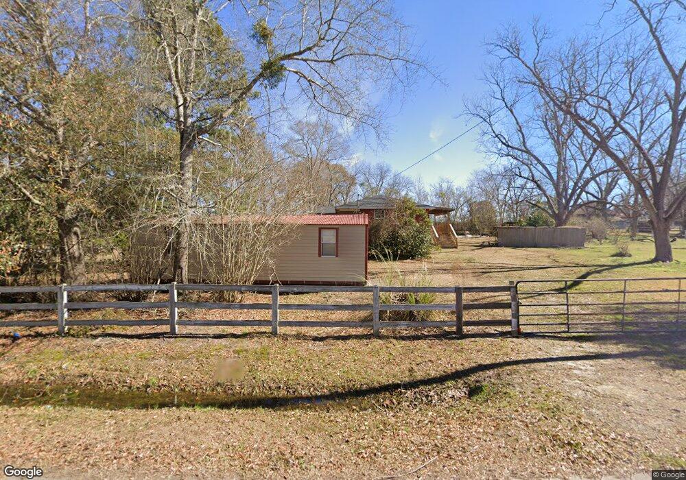
319 Highway 80 Adrian, GA 31002
Estimated Value: $83,000 - $113,000
3
Beds
1
Bath
1,368
Sq Ft
$74/Sq Ft
Est. Value
About This Home
This home is located at 319 Highway 80, Adrian, GA 31002 and is currently estimated at $101,716, approximately $74 per square foot. 319 Highway 80 is a home located in Emanuel County with nearby schools including Swainsboro High School.
Ownership History
Date
Name
Owned For
Owner Type
Purchase Details
Closed on
Apr 16, 2021
Sold by
Lincoln Donald
Bought by
Parrish Troy Lee
Current Estimated Value
Purchase Details
Closed on
Apr 5, 2000
Sold by
Christian Family Cen
Bought by
Lincoln Donald and Lincoln Mar
Purchase Details
Closed on
Jan 25, 1996
Sold by
Key Ary B
Bought by
Foskey Ruth K
Purchase Details
Closed on
Dec 7, 1995
Sold by
Key Ary B
Bought by
Christian Family Cen
Create a Home Valuation Report for This Property
The Home Valuation Report is an in-depth analysis detailing your home's value as well as a comparison with similar homes in the area
Purchase History
We collect this data history from publicly available records. To have your information removed, we recommend requesting removal directly through your county’s website.
| Date | Buyer | Sale Price | Title Company |
|---|---|---|---|
| Parrish Troy Lee | $25,000 | -- | |
| Lincoln Donald | $22,900 | -- | |
| Foskey Ruth K | -- | -- | |
| Christian Family Cen | -- | -- |
Source: Public Records
Tax History
| Year | Tax Paid | Tax Assessment Tax Assessment Total Assessment is a certain percentage of the fair market value that is determined by local assessors to be the total taxable value of land and additions on the property. | Land | Improvement |
|---|---|---|---|---|
| 2025 | $1,140 | $31,883 | $550 | $31,333 |
| 2024 | $1,239 | $30,883 | $550 | $30,333 |
| 2023 | $845 | $28,946 | $550 | $28,396 |
| 2022 | $301 | $24,636 | $550 | $24,086 |
| 2021 | $663 | $22,920 | $330 | $22,590 |
| 2020 | $699 | $22,921 | $1,835 | $21,086 |
| 2019 | $637 | $22,921 | $1,835 | $21,086 |
| 2018 | $659 | $22,921 | $1,835 | $21,086 |
| 2017 | $661 | $22,921 | $1,835 | $21,086 |
| 2016 | $603 | $22,907 | $1,835 | $21,072 |
| 2015 | -- | $23,004 | $1,932 | $21,072 |
| 2014 | -- | $22,708 | $1,932 | $20,777 |
| 2013 | -- | $22,170 | $2,048 | $20,121 |
Source: Public Records
Map
Nearby Homes
- 1 Trinity S
- 114 Ohoopee Rd
- 2618 Georgia 86
- 442 Fox Run Rd
- 241 Foskey Cemetery Rd
- 250 Archers Pond Smith Rd
- Pendleton Rreek Rd
- 0 Muskogee Trail Unit LOT 84
- 0 Muskogee Trail Unit 30570
- NA Rd
- Trinity Church Rd
- 181 Faith Tabernacle Rd
- 19 Cow Ford Bridge Rd
- Trinity Church Rd
- 87 Georgia Ave
- 84 J D Garnto Rd
- 546 Alton Lawson Rd
- 1578 Edsel Senn Rd
- 108 Tanglewood Dr
- 0 Sardis Church Rd Unit 10688482
Your Personal Tour Guide
Ask me questions while you tour the home.