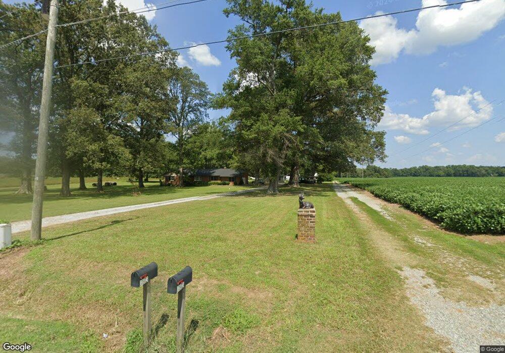
31903 King William Rd West Point, VA 23181
Estimated Value: $394,000 - $578,000
1
Bed
1
Bath
600
Sq Ft
$802/Sq Ft
Est. Value
About This Home
This home is located at 31903 King William Rd, West Point, VA 23181 and is currently estimated at $481,122, approximately $801 per square foot. 31903 King William Rd is a home located in King William County with nearby schools including Cool Spring Primary School, Acquinton Elementary School, and Hamilton Holmes Middle School.
Ownership History
Date
Name
Owned For
Owner Type
Purchase Details
Closed on
Oct 13, 2022
Sold by
Cowling Locke Mildred
Bought by
Mildred C Locke Revocable Trust
Current Estimated Value
Purchase Details
Closed on
Jun 27, 2006
Sold by
Sniegon Joseph E
Bought by
Sniegon Marvin A
Home Financials for this Owner
Home Financials are based on the most recent Mortgage that was taken out on this home.
Original Mortgage
$131,000
Interest Rate
6.59%
Create a Home Valuation Report for This Property
The Home Valuation Report is an in-depth analysis detailing your home's value as well as a comparison with similar homes in the area
Purchase History
| Date | Buyer | Sale Price | Title Company |
|---|---|---|---|
| Mildred C Locke Revocable Trust | -- | -- | |
| Sniegon Marvin A | $390,000 | -- |
Source: Public Records
Mortgage History
| Date | Status | Borrower | Loan Amount |
|---|---|---|---|
| Previous Owner | Sniegon Marvin A | $131,000 |
Source: Public Records
Tax History
| Year | Tax Paid | Tax Assessment Tax Assessment Total Assessment is a certain percentage of the fair market value that is determined by local assessors to be the total taxable value of land and additions on the property. | Land | Improvement |
|---|---|---|---|---|
| 2025 | $1,501 | $427,100 | $317,000 | $110,100 |
| 2024 | $1,415 | $427,100 | $317,000 | $110,100 |
| 2023 | $1,201 | $427,100 | $317,000 | $110,100 |
| 2022 | $1,472 | $284,800 | $219,600 | $65,200 |
| 2021 | $2,449 | $284,800 | $219,600 | $65,200 |
| 2020 | $1,516 | $364,600 | $262,500 | $102,100 |
| 2019 | $1,516 | $282,000 | $219,600 | $62,400 |
| 2018 | $1,551 | $284,800 | $219,600 | $65,200 |
| 2017 | $1,604 | $284,800 | $219,600 | $65,200 |
| 2016 | $1,622 | $284,800 | $219,600 | $65,200 |
| 2015 | $1,620 | $284,800 | $219,600 | $65,200 |
| 2014 | $1,562 | $0 | $0 | $0 |
Source: Public Records
Map
Nearby Homes
- 0 King William Ave Unit 2411669
- 00 King William Ave
- 0 King William Ave Unit 2401375
- 000 King William Ave
- 30 Custis Millpond Rd
- 0 Custis Millpond Rd Unit 24481309
- 00 Custis Millpond Rd
- 1924 Custis Millpond Rd
- TBD King William Rd
- 205 Patriots Village Ct
- 203 Patriots Village Ct
- 201 Patriots Village Ct
- 4090 Dogwood Dr
- 5.1+AC Plantation Place
- 1765 Clifton Ln
- 3557 Odi St
- 3555 Odi St
- 1300 Blossom Ln
- 3330 Mattaponi Ave
- 3109 Taylor Ave
- 31773 King William Rd
- 31629 King William Rd
- 32197 King William Rd
- 42 Custis Millpond Rd
- 32129 King William Rd
- Lot 2A Mann Hill Farm Ct
- TBD Point Lookout Rd
- 2855 Norbelle Ln
- 2A TBD Waterville Cove
- 19110 Woodmont Plantation Dr
- 0 tbd Churchville Rd
- 1003 10th & Main St
- Lot 117A 2nd St
- Lot 116 2nd St
- LOT 10 Eltham Rd
- 13+ AR Pointer's Dr
- 1+ ACR Point Lookout Rd
- 00 King William Rd (Rt 30)
- 600 - 635 21st St
- ADJ173 Dupont
Your Personal Tour Guide
Ask me questions while you tour the home.